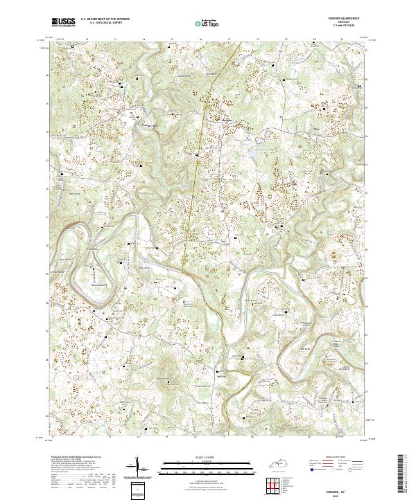
2022 Map of Hudgins
USGS Topo · Published 2022About this map
Three Hundred Springs and the meandering curves of the Green River define the physical and cultural landscape of this region on the border of Hart and Green counties. The area is characterized by tight river bends and named islands, such as Vance Island, Sidebottom Island, and Charlie Rhea Island, reflecting a topography deeply shaped by water. Small communities like Powder Mill, Hudgins, and Eve serve as focal points for a network of rural roads that connect numerous family cemeteries and country churches.
Find a feature on this map
147 named features on this map. Tap any name to fly to it.
Don’t see what you’re looking for? This feature index may not catch every label — zoom into the map to look around manually.
Map Details
Editions of this 2022 Hudgins Map
This is the sole edition of this map. No revisions or reprints were ever made.
Other maps of this area

1934 · Munfordville
USGS Topo · 1:48,000

1935 · Horse Cave
USGS Topo · 1:48,000

1937 · Munfordville
USGS Topo · 1:62,500

1938 · Horse Cave
USGS Topo · 1:62,500

1953 · Hudgins
USGS Topo · 1:24,000

1953 · Hibernia
USGS Topo · 1:24,000

1953 · Summersville
USGS Topo · 1:24,000

1953 · Exie
USGS Topo · 1:24,000

1953 · Magnolia
USGS Topo · 1:24,000

1953 · Center
USGS Topo · 1:24,000