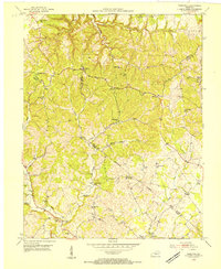
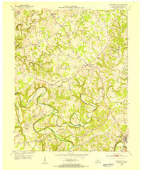
1953 Map of Hibernia
USGS Topo · Published 1954About this map
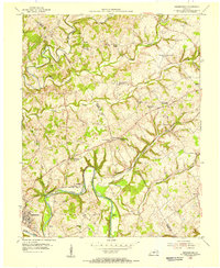
Hibernia and the surrounding rural communities of Wards and Badger sit at a convergence of several major creek forks in the early 1950s. The landscape is defined by the drainages of Otter Creek to the north and Brush Creek to the south, with the terrain heavily populated by small country schools and churches that served as the social anchors for this part of Kentucky.
Find a feature on this map
53 named features on this map. Tap any name to fly to it.
Don’t see what you’re looking for? This feature index may not catch every label — zoom into the map to look around manually.
Map Details
Editions of this 1953 Hibernia Map
This is the sole edition of this map. No revisions or reprints were ever made.
Other maps of this area
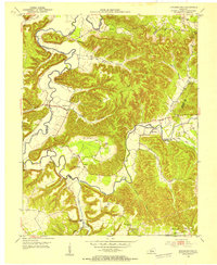
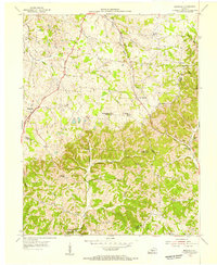
1953 · Howardstown
USGS Topo · 1:24,000
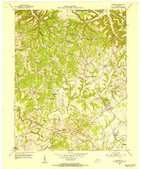
1953 · Saloma
USGS Topo · 1:24,000
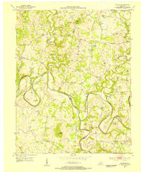
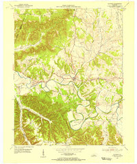
1953 · Hudgins
USGS Topo · 1:24,000
1953 · Summersville
USGS Topo · 1:24,000
1953 · Magnolia
USGS Topo · 1:24,000
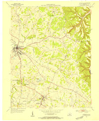
1953 · Hodgenville
USGS Topo · 1:24,000
1953 · Raywick
USGS Topo · 1:24,000
1954 · Greensburg
USGS Topo · 1:24,000

1957 · Winchester
USGS Topo · 1:250,000

1960 · Winchester
USGS Topo · 1:250,000