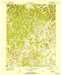
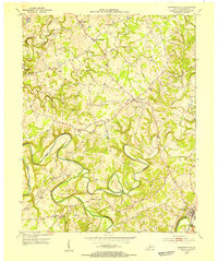
1953 Map of Saloma
USGS Topo · Published 1954About this map
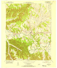
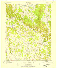
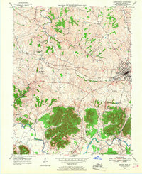
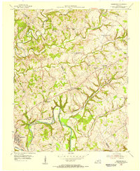
The agrarian highlands of Taylor and Marion counties are captured here in the early 1950s, a period when rural schoolhouses and country churches still anchored local communities. The settlement of Saloma serves as a focal point near the Ferrill Reservoir, marked by a Compressor Station and a Radio Tower. The landscape is deeply dissected by the winding course of Big Pitman Creek and its many tributaries like Bull Creek and Willowtown Creek, creating a network of ridges and hollows that defined the placement of historic farmsteads and roads.
Find a feature on this map
34 named features on this map. Tap any name to fly to it.
Don’t see what you’re looking for? This feature index may not catch every label — zoom into the map to look around manually.
Map Details
Editions of this 1953 Saloma Map
This is the sole edition of this map. No revisions or reprints were ever made.
Other maps of this area
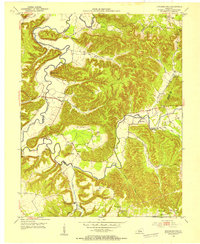
1953 · Howardstown
USGS Topo · 1:24,000
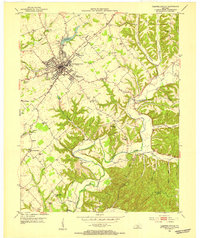
1953 · Campbellsville
USGS Topo · 1:24,000
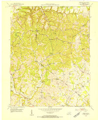
1953 · Hibernia
USGS Topo · 1:24,000
1953 · Summersville
USGS Topo · 1:24,000
1953 · Raywick
USGS Topo · 1:24,000
1953 · Spurlington
USGS Topo · 1:24,000
1953 · Lebanon West
USGS Topo · 1:24,000
1954 · Greensburg
USGS Topo · 1:24,000

1957 · Winchester
USGS Topo · 1:250,000

1960 · Winchester
USGS Topo · 1:250,000