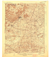
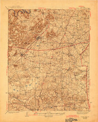
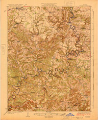
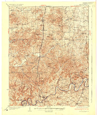
1938 Map of Horse Cave
USGS Topo · Published 1938About this map
Subterranean wonders and the busy transit corridors of the Louisville and Nashville railroad define this Barren County landscape in the late 1930s. Centered on the town of Horse Cave, the topography reveals a karst environment peppered with natural landmarks such as Mammoth Onyx Cave, Wonderland Cave, and Ice Cave. The settlement pattern follows the Dixie Highway and Nashville Road, connecting thriving communities like Cave City and Rowletts.
Find a feature on this map
86 named features on this map. Tap any name to fly to it.
Don’t see what you’re looking for? This feature index may not catch every label — zoom into the map to look around manually.
Map Details
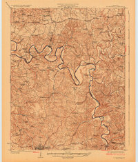
Editions of this 1938 Horse Cave Map
2 editions found
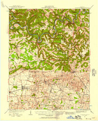
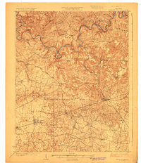
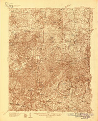
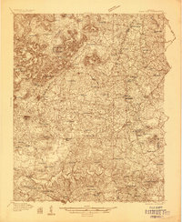
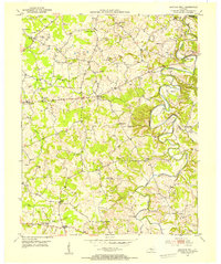
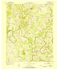
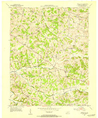
Other maps of this area
1922 · Mammoth Cave
USGS Topo · 1:62,500
1923 · Mammoth Cave
USGS Topo · 1:62,500
1925 · Cub Run
USGS Topo · 1:62,500
1926 · Scottsville
USGS Topo · 1:62,500
1934 · Munfordville
USGS Topo · 1:48,000
1935 · Horse Cave
USGS Topo · 1:48,000
1937 · Munfordville
USGS Topo · 1:62,500
1953 · Sulphur Well
USGS Topo · 1:24,000
1953 · Hudgins
USGS Topo · 1:24,000
1953 · Temple Hill
USGS Topo · 1:24,000