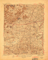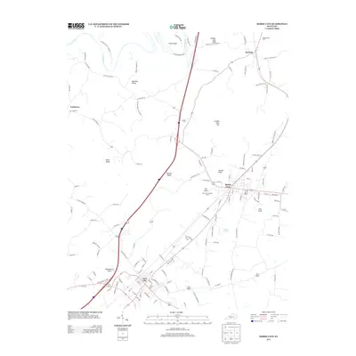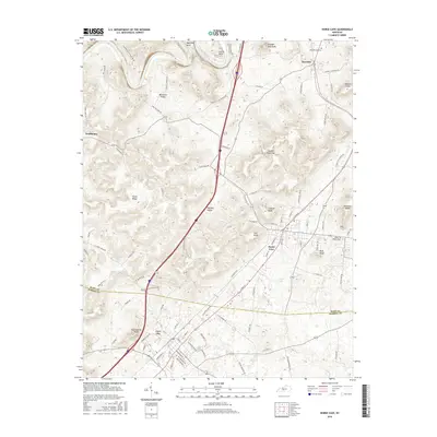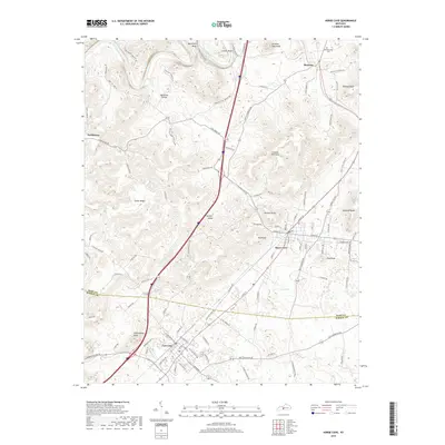
1935 Map of Horse Cave
USGS Topo · Published 1935About this map
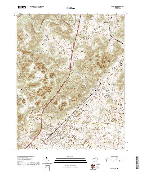
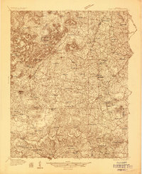
The limestone karst topography of south-central Kentucky defines this 1935 landscape, where the Louisville and Nashville railroad tracks connect the commercial centers of Horse Cave and Cave City. The map documents a unique subterranean economy with labels for Mammoth Onyx Cave and Wonderland Cave, highlighting the region's early tourism. Beyond the cave systems, the area is densely settled with rural educational and religious institutions, including Lee Seminary, Walton Academy, and Ragman Seminary.
Find a feature on this map
84 named features on this map. Tap any name to fly to it.
Don’t see what you’re looking for? This feature index may not catch every label — zoom into the map to look around manually.
Map Details
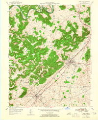
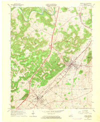
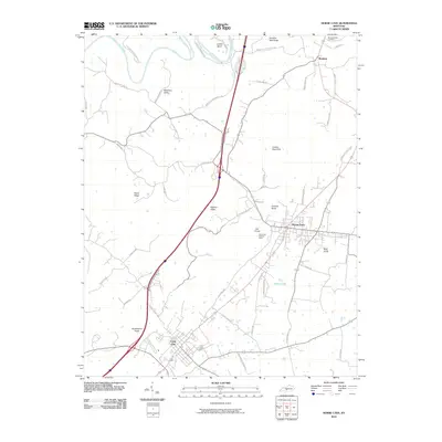
Editions of this 1935 Horse Cave Map
This is the sole edition of this map. No revisions or reprints were ever made.
Historical Maps of Glasgow Through Time
9 maps found