Old Maps of Redbud, Kentucky for Metal Detecting
Plan your next treasure hunt with 17 historic maps of Redbud. Find old homesites, ghost towns, trails, and gathering spots that may be lost to time — perfect for identifying promising metal detecting locations.
- Locate forgotten sites: Uncover places like long-lost settlements, abandoned rail lines, or gathering spots.
- Plan better hunts: Use map overlays combined with LiDAR or satellite views to narrow in on historically rich areas.
- Made for detectorists: Thousands of hobbyists use these maps to discover relics, coins, and hidden history.
Use these historic maps to boost your research and find new opportunities beneath the surface of Redbud.
Redbud, KY maps
(17)- 1887 Map of Jonesville
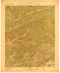
 1887 Jonesville1887 Print · USGSThe rugged borderlands of Virginia, Kentucky, and Tennessee are captured in the late nineteenth century during a time of isolated valley settlements. Genealogists and historians can trace family locations near Jonesville, Sneedville, and the remote Kyle's Ford along the Powell River.
 - 1891 Map of Jonesville
 1891 Jonesville1891 Print · USGSThe tri-state borderlands of Virginia, Kentucky, and Tennessee are captured here in the late nineteenth century. Researchers can trace early river crossings and mountain settlements like Poteet Ford, Shafers P.O., and Mt Pleasant.9 unique versions available
 - 1916 Map of Nolansburg
 1916 Nolansburg1916 Print · USGSThe rugged Cumberland Plateau along the Kentucky and Virginia border is captured here during the first World War. Researchers can trace early railroad history and mountain genealogy through labels like Nolansburg, Panorama Station, and the slopes of Black Mountain.
 - 1919 Map of Nolansburg
 1919 Nolansburg1919 Print · USGSHarlan County and the Virginia borderlands are captured here during the height of early twentieth-century mountain development. Local historians can trace the foundations of the Pine Mountain Settlement School and vanished industrial sites like Leona Mines PO and Bondurant.3 unique versions available
 - 1935 Map of Evarts
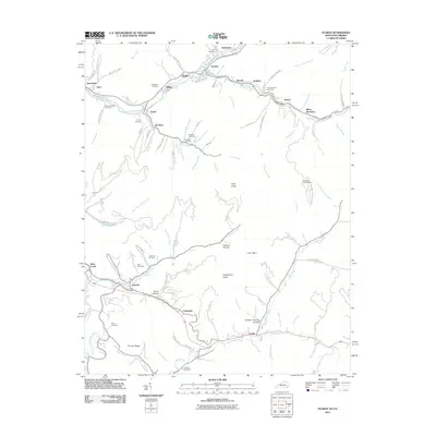
 1935 Evarts1935 Print · USGSThe Kentucky and Virginia borderlands appear here in the mid-1930s during an era of expanding federal utility projects. Researchers can trace the path of the Ky Util Co Trans Line and locate Nolansburg No 1 near the Stone Creek drainage.
 - 1954 Map of Evarts, 1955 Print
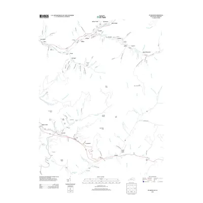
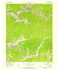 1954 Evarts1955 Print · USGSHarlan County's mining and rail corridors are captured here in the mid-1950s as the Louisville and Nashville winds through the hills. Genealogists can trace family landmarks like Middleton Cem and settlements such as Crummies and Kenvir.3 unique versions available
 - 1955 Map of Johnson City
 1955 Johnson City1955 Print · USGSEast Tennessee and the bordering highlands of Virginia and Kentucky appear here during the post-war industrial boom. You can trace the complex network of mountain ridges and new TVA lakes, from Johnson City to the coalfields near Middlesboro and Lynch.
 - 1957 Map of Johnson City, 1966 Print
 1957 Johnson City1966 Print · USGSUpper East Tennessee and Southwest Virginia are shown here during the mid-sixties transition of the Appalachians. Researchers can trace the industrial rail hubs of Kingsport, the sprawling waters of Cherokee Lake, and the historic Cumberland Gap.
 - 1960 Map of Johnson City
 1960 Johnson City1960 Print · USGSUpper East Tennessee and the surrounding tri-state area are shown in the mid-fifties during the height of the TVA reservoir era. Trace the industrial rail lines of the Southern and Louisville and Nashville between Kingsport and Johnson City.
 - 1963 Map of Johnson City
 1963 Johnson City1963 Print · USGSThe Tri-Cities and the surrounding Appalachian ridges are shown in detail during the early sixties, highlighting the era's vital rail and river networks. Genealogists and historians can trace the routes of the Clinchfield RR and locate settlements from Rogersville to Elizabethton.
 - 1976 Map of Evarts, 1981 Print
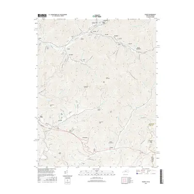
 1976 Evarts1981 Print · USGSHarlan County, Kentucky, is shown during the mid-seventies, capturing the dense valley settlements and industrial activity of the Cumberland Mountains. Trace family roots and land use across Evarts, Kenvir, and Cawood along the winding Cumberland River forks.
 - 1977 Map of Middlesboro, 1983 Print
 1977 Middlesboro1983 Print · USGSThe tri-state border region of Kentucky, Tennessee, and Virginia is shown here in the late seventies as the rail-and-river economy hummed through the gaps. Trace local family roots and transit routes through Middlesboro, Harlan, and Cumberland Gap National Historical Park.
 - 2011 Map of Evarts, 2011 Print
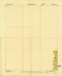
 2011 Evarts2011 Print · USGSCovers Redbud, including Evarts, Crummies, and other nearby areas
 - 2013 Map of Evarts, 2013 Print
 2013 Evarts2013 Print · USGSCovers Redbud, including Evarts, Crummies, and other nearby areas
 - 2016 Map of Evarts, 2016 Print
 2016 Evarts2016 Print · USGSCovers Redbud, including Evarts, Crummies, and other nearby areas
 - 2019 Map of Evarts, 2019 Print
 2019 Evarts2019 Print · USGSCovers Redbud, including Evarts, Crummies, and other nearby areas
 - 2022 Map of Evarts, 2022 Print
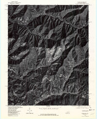
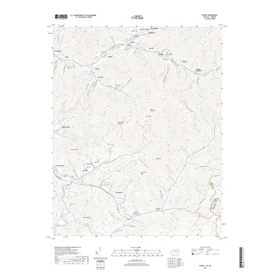
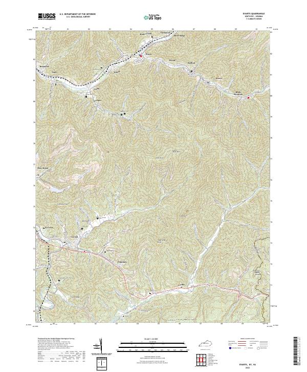 2022 Evarts2022 Print · USGSAppalachian mining settlements and family cemeteries line the deep hollows of Harlan County in the 2020s. Genealogists can trace lineage through sites like Middleton Cem or Slack Cem while exploring the rail-linked coal towns of Evarts and Kenvir.
End of results
Showing maps 1-17 of 17
Top cities near Redbud
- Cumberland historical maps
- Harlan historical maps
- Pennington Gap historical maps
- Jonesville historical maps
- Evarts historical maps
- Rose Hill historical maps
See more
Frequently asked questions
- What are the different types of historical maps available for Redbud?
- What is the oldest map of Redbud?
- Where can I purchase historical maps of Redbud for my home or office?
- Where can I download high-res historical maps of Redbud?
- Are there historical topographic maps available for Redbud?
- Is there historical aerial imagery available for Redbud?
- Where are historical maps of Redbud sourced from?