Old Maps of Smith Ford, Kentucky for Genealogy
Trace your family roots with 12 historic maps of Smith Ford. These high-res maps reveal old neighborhoods, homesites, landmarks, and streets — helping you uncover where your ancestors lived and how the area evolved over time.
- Explore historic neighborhoods: Identify where your relatives may have lived in the 1800s or 1900s.
- Compare maps over time: Trace the changes in streets, buildings, and landmarks for multi-generational research.
- Perfect for genealogy & ancestry research: Used by family historians and researchers to map out lineage and migration.
These maps are an incredible resource for exploring your personal connection to Smith Ford's past.
Smith Ford, KY maps
(12)- 1909 Map of Providence
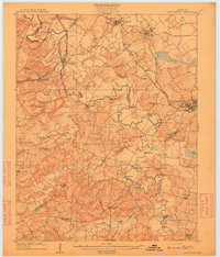 1909 Providence1909 Print · USGSWestern Kentucky's coal and river country comes alive in the early 1900s as railroads begin to reshape the Tradewater Valley. Genealogists and researchers can trace old river crossings like Rices Mill Jericho Ford or locate lost community landmarks such as Numms Sta Gladstone PO and Rock Spring Church.3 unique versions available
 - 1954 Map of Evansville
 1954 Evansville1954 Print · USGSThe Ohio River borderlands between Indiana and Kentucky appear here during a period of robust industrial and military growth. Genealogists and researchers can trace the rail corridors of the Illinois Central and find landmarks like US Lock and Dam No 48 or Camp Breckinridge.
 - 1954 Map of Dalton, 1955 Print
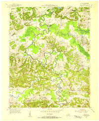 1954 Dalton1955 Print · USGSMid-century western Kentucky comes alive along the winding Tradewater River and its many historic crossings. Genealogists and researchers can trace rural life through landmarks like Kirkwood Springs, the Illinois Central rail line, and family sites such as Harper Cem.2 unique versions available
 - 1954 Map of Providence, 1957 Print
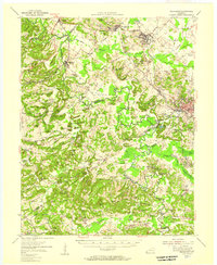 1954 Providence1957 Print · USGSCoal and rail define this Western Kentucky corridor during the mid-fifties as Providence and Clay thrive along major transit lines. Researchers can trace the industrial footprint of the Stony Point Mines or locate family roots at the Odd Fellows Cem and White Oak Ch.
 - 1957 Map of Evansville, 1969 Print
 1957 Evansville1969 Print · USGSIndiana and Kentucky meet along the Ohio River in this mid-century survey of a vital industrial and transport corridor. Genealogists and historians can trace the development of river towns like Owensboro and Newburgh or locate old rail lines like the Southern Ry.3 unique versions available
 - 1961 Map of Evansville
 1961 Evansville1961 Print · USGSThe Ohio River valley and its surrounding coalfields are captured here during the late fifties and early sixties. Trace the industrial rail networks of the Illinois Central RR and explore regional landmarks like Mammoth Cave National Park and Angel Mounds State Memorial.2 unique versions available
 - 1983 Map of Madisonville, 1984 Print
 1983 Madisonville1984 Print · USGSThe Western Kentucky coalfields and river valleys come into focus in the early eighties as the rail-and-river economy matured. Genealogists can trace family footprints across Dawson Springs, Mortons Gap, and Slaughters, or locate landmarks like Shake Rag Hills and Lake Malone.
 - 2010 Map of Dalton, 2010 Print
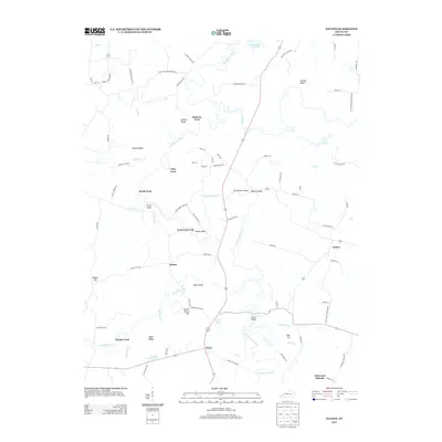
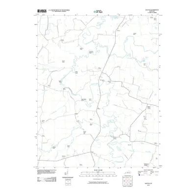 2010 Dalton2010 Print · USGSCovers Smith Ford, including Utley Ford, Dalton, and other nearby areas
 - 2013 Map of Dalton, 2013 Print
 2013 Dalton2013 Print · USGSCovers Smith Ford, including Utley Ford, Dalton, and other nearby areas
 - 2016 Map of Dalton, 2016 Print
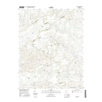 2016 Dalton2016 Print · USGSCovers Smith Ford, including Utley Ford, Dalton, and other nearby areas
 - 2019 Map of Dalton, 2019 Print
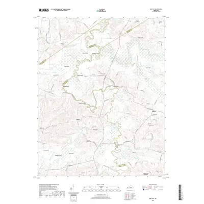 2019 Dalton2019 Print · USGSCovers Smith Ford, including Utley Ford, Dalton, and other nearby areas
 - 2022 Map of Dalton, 2022 Print
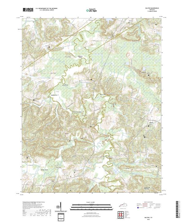 2022 Dalton2022 Print · USGSWestern Kentucky's river-driven geography is on full display in this modern survey of the Tradewater River corridor. Researchers can trace ancestral connections through numerous rural burial grounds like Holloman Cem and historic river crossings such as Utley Ford or Tom Gray Ford.
End of results
Showing maps 1-12 of 12
Top cities near Smith Ford
- Princeton historical maps
- Providence historical maps
- Marion historical maps
- Dawson Springs historical maps
- Eddyville historical maps
- Sturgis historical maps
See more
Frequently asked questions
- What are the different types of historical maps available for Smith Ford?
- What is the oldest map of Smith Ford?
- Where can I purchase historical maps of Smith Ford for my home or office?
- Where can I download high-res historical maps of Smith Ford?
- Are there historical topographic maps available for Smith Ford?
- Is there historical aerial imagery available for Smith Ford?
- Where are historical maps of Smith Ford sourced from?