Old Maps of Decoy, Kentucky for Hiking & Exploration
Hike through history with 12 historic maps of Decoy. Explore old trails, ghost towns, and forgotten backroads — perfect for outdoor adventurers and local explorers.
- Rediscover forgotten places: Map out old mining camps, roads, and footpaths that no longer exist on modern maps.
- Layer with modern tools: Combine with LiDAR or satellite views to plan hikes through historical terrain.
- Made for exploration: Popular among hikers, overlanders, and local history lovers.
Use these maps to find adventure and explore the hidden past of Decoy.
Decoy, KY maps
(12)- 1891 Map of Hazard
 1891 Hazard1891 Print · USGSEastern Kentucky's coal country is shown here in the late nineteenth century, focusing on the river-fed valleys of the Cumberland Plateau. Researchers can trace the early layouts of Hazard and Hyden or locate family homesteads near Crockettsville and Dwarf.5 unique versions available
 - 1914 Map of Troublesome
 1914 Troublesome1914 Print · USGSEastern Kentucky's mountain hollows and ridge-top boundaries are captured here during the early 20th century. Genealogists and historians can trace numerous rural educational sites like Balls Fork School and Caney School, or locate small settlements such as Buckhorn and Dwarf.3 unique versions available
 - 1954 Map of Vest, 1955 Print
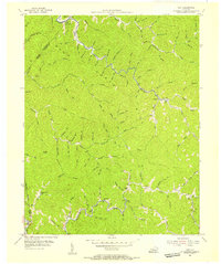 1954 Vest1955 Print · USGSKnott County's narrow valleys and ridge-top boundaries are captured here in the mid-fifties, showing the region's rural character before modern consolidation. Genealogists can locate family-named hollows like John Riley Br and local institutions such as Decoy Sch and Baker Sch.5 unique versions available
 - 1957 Map of Jenkins, 1974 Print
 1957 Jenkins1974 Print · USGSThe Cumberland Plateau in the mid-twentieth century reveals a complex landscape of winding river valleys and deep-seated industry. Genealogists and historians can trace the development of Hazard, Jenkins, and Pikeville alongside extensive Numerous Oil and Gas Fields and the routes of the Chesapeake & Ohio Railway.
 - 1960 Map of Jenkins
 1960 Jenkins1960 Print · USGSEastern Kentucky and the West Virginia borderlands are captured at a mid-century peak of the coal and rail era. Trace the industrial corridors of the Chesapeake and Ohio RR through mountain hubs like Hazard and Jenkins.
 - 1977 Map of Hazard, 1983 Print
 1977 Hazard1983 Print · USGSEastern Kentucky's coal country comes into sharp focus during the late seventies, showing the deep-set river valleys and mountain gaps that shaped regional life. Genealogists can trace family connections through river-bottom settlements like Oneida, Krypton, and Bulan or follow the Seaboard System rail lines.
 - 1992 Map of Vest
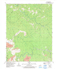 1992 Vest1992 Print · USGSKnott County's narrow hollows and deep creek beds are captured here in the early nineties, revealing a landscape shaped by both tradition and industry. Genealogists can trace family landmarks and burial sites like Compton Cem, Dobson Cem, and the community at Vest.
 - 2010 Map of Vest, 2010 Print
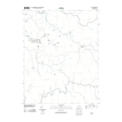 2010 Vest2010 Print · USGSKnott County, Kentucky, is shown here as it appeared in 2010, centered on the complex ridges and valley floors surrounding Decoy. Genealogists and local historians can trace family land near Whitt Howard Cemetery, Baker Camp, and along the banks of Balls Fork.
 - 2013 Map of Vest, 2013 Print
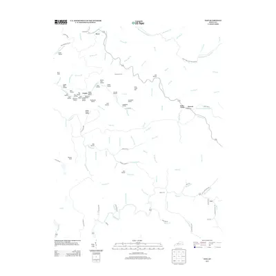 2013 Vest2013 Print · USGSKnott County’s winding hollows and steep ridges are documented here during the early twenty-first century. Researchers can locate family homesteads and burial sites at Whitt Howard Cem and Dobson Cem or trace settlements like Decoy and Vest.
 - 2016 Map of Vest, 2016 Print
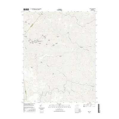 2016 Vest2016 Print · USGSKnott County, Kentucky, is shown here during the mid-2010s, capturing the deeply eroded landscape of the Cumberland Plateau. Researchers can trace the narrow valley settlements of Vest and Decoy or locate family-named landmarks like Goff Hollow and Miller Hollow.
 - 2019 Map of Vest, 2019 Print
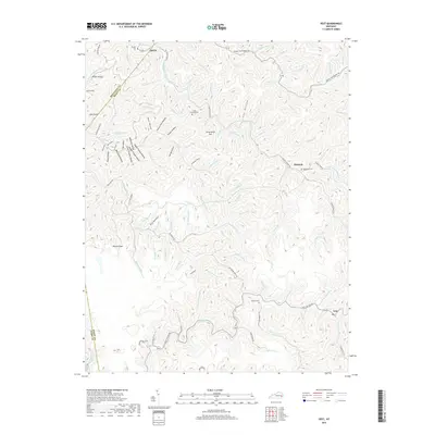 2019 Vest2019 Print · USGSKnott County and the surrounding coal country hollows are shown in detail during the late 2010s. Genealogists and local historians can trace family locations through sites like Whitt Howard Cem, the settlement at Decoy, and the headwaters of Quicksand Creek.
 - 2022 Map of Vest, 2022 Print
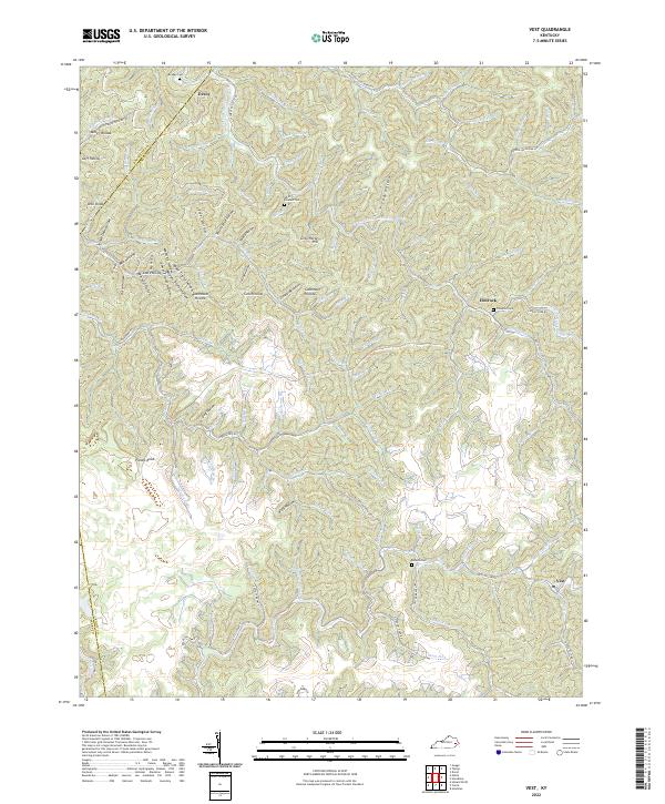 2022 Vest2022 Print · USGSTracing the creek valleys of Knott and Breathitt counties in 2022, this map shows a landscape shaped by water and tradition. Genealogists can locate family landmarks such as Compton Cem and the communities of Decoy and Elmrock along the winding hollows.
End of results
Showing maps 1-12 of 12
Top cities near Decoy
Frequently asked questions
- What are the different types of historical maps available for Decoy?
- What is the oldest map of Decoy?
- Where can I purchase historical maps of Decoy for my home or office?
- Where can I download high-res historical maps of Decoy?
- Are there historical topographic maps available for Decoy?
- Is there historical aerial imagery available for Decoy?
- Where are historical maps of Decoy sourced from?