Old Maps of Nealy, Kentucky for Academic Research
Study the evolution of Nealy with 14 high-resolution historic maps. Whether you're teaching, researching, or modeling changes in land use, these maps provide essential visual documentation of urban, environmental, and geographic change.
- Analyze long-term change: Track patterns in development, transportation, and natural features.
- Ideal for environmental or urban studies: Support academic projects with primary historical map data.
- Use in the classroom or lab: Educators and researchers rely on these maps to bring historical context to life.
These maps are a powerful tool for teaching, research, and visualizing how Nealy has changed over the decades.
Nealy, KY maps
(14)- 1890 Map of Whitesburg
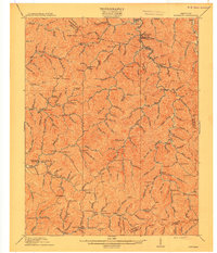
 1890 Whitesburg1890 Print · USGSThe Cumberland Plateau in the 1880s is a world of deep hollows and isolated mountain settlements. Genealogists can trace family roots in early communities like Whitesburgh and Pikeville or locate crossings at Pound Gap and Shelby Gap.
 - 1892 Map of Whitesburg
 1892 Whitesburg1892 Print · USGSEastern Kentucky and the Virginia borderlands appear here in the late nineteenth century as a landscape of isolated mountain hollows. Genealogists and historians can trace early family settlements along Kingdom Come Creek, Beef Hide, and the strategic passage at Pound Gap.4 unique versions available
 - 1912 Map of Hindman
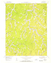
 1912 Hindman1912 Print · USGSThe Kentucky hills around Hindman appear in remarkable detail during the early twentieth century, showing a landscape defined by isolated hollows. Genealogists can trace early homesteads and communities like Elmrock, Kite, and Democrat, as well as numerous numbered schoolhouses along Troublesome Creek.
 - 1915 Map of Hindman
 1915 Hindman1915 Print · USGSEastern Kentucky's high ridges and deep hollows are captured here during the mid-1910s, showing a landscape defined by isolated farmsteads and rural school districts. Genealogists can trace family footprints near Hindman or locate small settlements like Handshoe, Iris, and the WC TU School.4 unique versions available
 - 1954 Map of Kite, 1956 Print
 1954 Kite1956 Print · USGSEastern Kentucky's narrow valleys and coal-country settlements are meticulously detailed here during the mid-1950s. Genealogists and historians can trace numerous remote mountain schools and family cemeteries, including Kite Sch, Hollybush Ch, and Hall Cem.3 unique versions available
 - 1957 Map of Jenkins, 1974 Print
 1957 Jenkins1974 Print · USGSThe Cumberland Plateau in the mid-twentieth century reveals a complex landscape of winding river valleys and deep-seated industry. Genealogists and historians can trace the development of Hazard, Jenkins, and Pikeville alongside extensive Numerous Oil and Gas Fields and the routes of the Chesapeake & Ohio Railway.
 - 1960 Map of Jenkins
 1960 Jenkins1960 Print · USGSEastern Kentucky and the West Virginia borderlands are captured at a mid-century peak of the coal and rail era. Trace the industrial corridors of the Chesapeake and Ohio RR through mountain hubs like Hazard and Jenkins.
 - 1977 Map of Pikeville, 1983 Print
 1977 Pikeville1983 Print · USGSThe Central Appalachian coalfields and the rugged borders of Kentucky and Virginia come into focus during the late seventies. Researchers can trace the rail networks of the C & O and L & N through towns like Jenkins, Whitesburg, and Pikeville.
 - 1992 Map of Kite
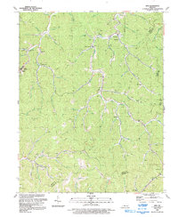 1992 Kite1992 Print · USGSKnott County's narrow hollers and coal-rich ridges are captured in the early nineties as they appeared before modern large-scale redevelopment. Genealogists and local historians can trace family locations near Pippa Passes, Topmost, and Providence Ch amidst an active landscape of Mines and oil wells.
 - 2010 Map of Kite, 2010 Print
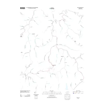
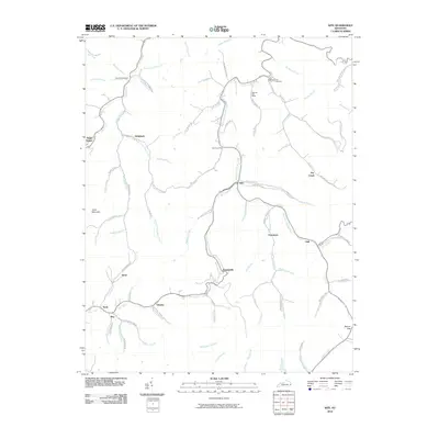 2010 Kite2010 Print · USGSCovers Nealy, including Pippa Passes, May, and other nearby areas
 - 2013 Map of Kite, 2013 Print
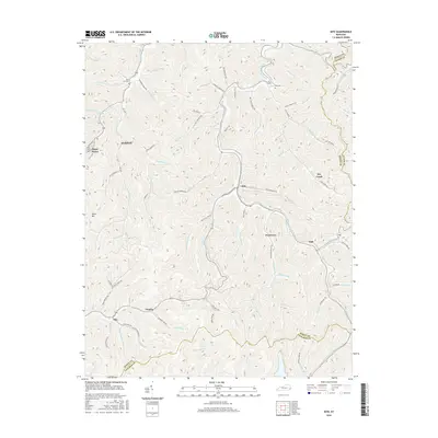
 2013 Kite2013 Print · USGSCovers Nealy, including Pippa Passes, May, and other nearby areas
 - 2016 Map of Kite, 2016 Print
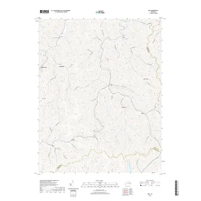
 2016 Kite2016 Print · USGSCovers Nealy, including Pippa Passes, May, and other nearby areas
 - 2019 Map of Kite, 2019 Print
 2019 Kite2019 Print · USGSCovers Nealy, including Pippa Passes, May, and other nearby areas
 - 2022 Map of Kite, 2022 Print
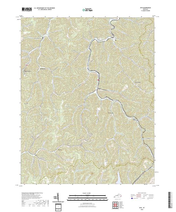 2022 Kite2022 Print · USGSKnott County in the early 2020s remains a landscape defined by the deep hollows of the Cumberland Plateau. Researchers can trace remote family cemeteries like Bald Hill Cem and historic creek-side settlements including Pippa Passes, Kite, and Puncheon.
End of results
Showing maps 1-14 of 14
Top cities near Nealy
- Jenkins historical maps
- Whitesburg historical maps
- Wheelwright historical maps
- Fleming-Neon historical maps
- Hindman historical maps
- Pippa Passes historical maps
See more
Frequently asked questions
- What are the different types of historical maps available for Nealy?
- What is the oldest map of Nealy?
- Where can I purchase historical maps of Nealy for my home or office?
- Where can I download high-res historical maps of Nealy?
- Are there historical topographic maps available for Nealy?
- Is there historical aerial imagery available for Nealy?
- Where are historical maps of Nealy sourced from?