Old Maps of Walker, Kentucky for Hiking & Exploration
Hike through history with 16 historic maps of Walker. Explore old trails, ghost towns, and forgotten backroads — perfect for outdoor adventurers and local explorers.
- Rediscover forgotten places: Map out old mining camps, roads, and footpaths that no longer exist on modern maps.
- Layer with modern tools: Combine with LiDAR or satellite views to plan hikes through historical terrain.
- Made for exploration: Popular among hikers, overlanders, and local history lovers.
Use these maps to find adventure and explore the hidden past of Walker.
Walker, KY maps
(16)- 1886 Map of Cumberland Gap
 1886 Cumberland Gap1886 Print · USGSThe tri-state border region around the Cumberland Gap appears here in the 1880s, before modern development transformed these mountain passes. Genealogists and historians can trace early river crossings and settlements like Flat Lick, Tye Ferry, and Campbell Ford.
 - 1888 Map of Cumberland Gap
 1888 Cumberland Gap1888 Print · USGSThe tri-state wilderness of the Appalachians is captured in the late 1880s, centered on the strategic crossing at the Cumberland Gap. Trace the early river-and-road economy through features like Tye's Ferry, McHenry Ford, and the old town sites of Barboursville and Pineville.
 - 1891 Map of Cumberland Gap
 1891 Cumberland Gap1891 Print · USGSThe tri-state mountain corridor appears here in the late nineteenth century, showing the critical gateways through the Cumberland Mountains. Researchers can trace early river crossings like Mshenry Ford and historic settlements such as Barboursville and Pineville.7 unique versions available
 - 1903 Map of Pineville
 1903 Pineville1903 Print · USGSThe Cumberland Gap region in the early 1900s was a landscape defined by its formidable ridges and vital river passages. Trace the steep ascent of Cumberland Mountain and the winding course of the Cumberland River as they appeared over a century ago.
 - 1954 Map of Scalf, 1956 Print
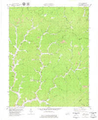
 1954 Scalf1956 Print · USGSIn the mid-1950s, this area of Knox County was a network of remote hollows and mountain schools centered around Stinking Creek. You can trace rural life through landmarks like Salt Gum Ch, the Barnyard Sch, and Hammond.2 unique versions available
 - 1955 Map of Johnson City
 1955 Johnson City1955 Print · USGSEast Tennessee and the bordering highlands of Virginia and Kentucky appear here during the post-war industrial boom. You can trace the complex network of mountain ridges and new TVA lakes, from Johnson City to the coalfields near Middlesboro and Lynch.
 - 1957 Map of Johnson City, 1966 Print
 1957 Johnson City1966 Print · USGSUpper East Tennessee and Southwest Virginia are shown here during the mid-sixties transition of the Appalachians. Researchers can trace the industrial rail hubs of Kingsport, the sprawling waters of Cherokee Lake, and the historic Cumberland Gap.
 - 1960 Map of Johnson City
 1960 Johnson City1960 Print · USGSUpper East Tennessee and the surrounding tri-state area are shown in the mid-fifties during the height of the TVA reservoir era. Trace the industrial rail lines of the Southern and Louisville and Nashville between Kingsport and Johnson City.
 - 1963 Map of Johnson City
 1963 Johnson City1963 Print · USGSThe Tri-Cities and the surrounding Appalachian ridges are shown in detail during the early sixties, highlighting the era's vital rail and river networks. Genealogists and historians can trace the routes of the Clinchfield RR and locate settlements from Rogersville to Elizabethton.
 - 1977 Map of Middlesboro, 1983 Print
 1977 Middlesboro1983 Print · USGSThe tri-state border region of Kentucky, Tennessee, and Virginia is shown here in the late seventies as the rail-and-river economy hummed through the gaps. Trace local family roots and transit routes through Middlesboro, Harlan, and Cumberland Gap National Historical Park.
 - 1979 Map of Scalf
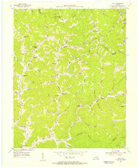
 1979 Scalf1979 Print · USGSKnox County is captured here in the late seventies, showing a landscape defined by coal mining and deep-hollow settlements. Genealogists can trace family names through landmarks like Salt Gum Ch, Dewitt, and several scattered cemeteries along Stinking Creek.
 - 2011 Map of Scalf, 2011 Print
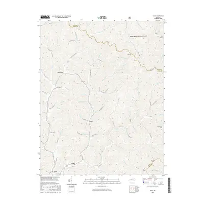
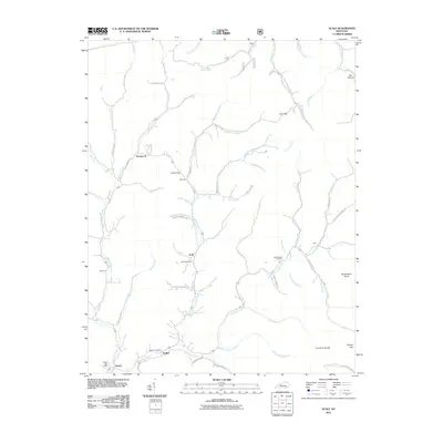 2011 Scalf2011 Print · USGSCovers Walker, including Scalf, Dewitt, and other nearby areas
 - 2013 Map of Scalf, 2013 Print
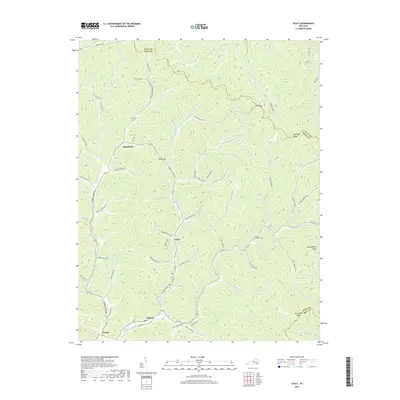
 2013 Scalf2013 Print · USGSCovers Walker, including Scalf, Dewitt, and other nearby areas
 - 2016 Map of Scalf, 2016 Print
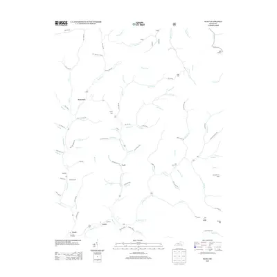
 2016 Scalf2016 Print · USGSCovers Walker, including Scalf, Dewitt, and other nearby areas
 - 2019 Map of Scalf, 2019 Print
 2019 Scalf2019 Print · USGSCovers Walker, including Scalf, Dewitt, and other nearby areas
 - 2022 Map of Scalf, 2022 Print
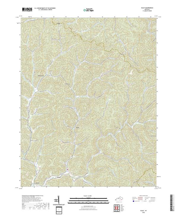 2022 Scalf2022 Print · USGSThe hollows and highlands of Knox County are captured here in the early 2020s, showing a landscape defined by its river-fed valleys. Genealogists can locate family landmarks such as Messer Cem and ancestral routes like Dora Clark Branch Rd near Scalf.
End of results
Showing maps 1-16 of 16
Top cities near Walker
Frequently asked questions
- What are the different types of historical maps available for Walker?
- What is the oldest map of Walker?
- Where can I purchase historical maps of Walker for my home or office?
- Where can I download high-res historical maps of Walker?
- Are there historical topographic maps available for Walker?
- Is there historical aerial imagery available for Walker?
- Where are historical maps of Walker sourced from?