Old Maps of Roanoke, Kentucky
Explore 10 old maps of Roanoke, spanning from 1953 to today. These high-resolution historic maps reveal how streets, neighborhoods, landmarks, and natural features evolved over time — perfect for genealogy, metal detecting, research, and local history exploration.
What you can do with these maps:
- See how Roanoke changed over time: Compare historical maps to modern-day views to trace roads, homesites, rail lines & more.
- View detailed metadata: Each map includes creators, publishers, year, scale, and archive source.
- Overlay maps with satellite & LiDAR: Visualize the past alongside modern tools to explore terrain & human change.
- Trusted historical sources: Maps sourced from the USGS, Library of Congress, and other archives.
- Access maps your way: View online, download high-res files, or order prints for personal or research use.
Start exploring old maps of Roanoke to uncover forgotten places, hidden landmarks, and the deep history beneath your feet.
Roanoke, KY maps
(10)- 1953 Map of Nelsonville, 1954 Print
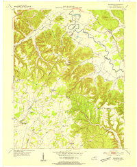 1953 Nelsonville1954 Print · USGSThe Nelsonville region at the junction of Larue, Nelson, and Hardin counties is captured here in the early fifties as a landscape of river-valley rails and ridge-top farms. Family historians can trace ancestral roots through sites like Spencer Sch, Salem Ch, and the Castleman Cem.2 unique versions available
 - 1957 Map of Winchester, 1968 Print
 1957 Winchester1968 Print · USGSCentral Kentucky's landscape in the mid-twentieth century features the sprawling Fort Knox and the early parkway system. Genealogists and historians can trace rail lines like the Southern Railway and find landmarks from Bernheim Forest to Pilot Knob.3 unique versions available
 - 1960 Map of Winchester
 1960 Winchester1960 Print · USGSCentral Kentucky's diverse landscape is shown here at mid-century, from the bluegrass plains to the rugged Pottsville Escarpment. Genealogists and historians can trace the rail-and-river network connecting towns like Bardstown and Stanford alongside landmarks like Lake Cumberland.
 - 1967 Map of Nelsonville, 1969 Print
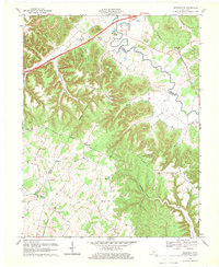 1967 Nelsonville1969 Print · USGSThe hills of central Kentucky are shown here in the late 1960s as new parkways began to intersect with historic routes. Genealogists can trace family names at Daugherty Cem and Potts Spring Cem or follow the path of the Kentucky Lincoln Trail.3 unique versions available
 - 1981 Map of Elizabethtown, 1983 Print
 1981 Elizabethtown1983 Print · USGSCentral Kentucky in the early eighties shows a landscape of military installations, state parks, and historic sites. Genealogists and historians can trace rail lines like the Louisville and Nashville or locate sites like Lebanon National Cemetery and the Lincoln Memorial National Historic Site.
 - 2010 Map of Nelsonville, 2010 Print
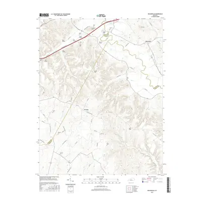
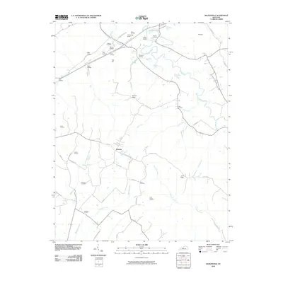 2010 Nelsonville2010 Print · USGSCovers Roanoke, including Nelsonville, Hardin County, and other nearby areas
 - 2013 Map of Nelsonville, 2013 Print
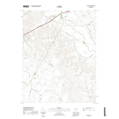
 2013 Nelsonville2013 Print · USGSCovers Roanoke, including Nelsonville, Hardin County, and other nearby areas
 - 2016 Map of Nelsonville, 2016 Print
 2016 Nelsonville2016 Print · USGSCovers Roanoke, including Nelsonville, Hardin County, and other nearby areas
 - 2019 Map of Nelsonville, 2019 Print
 2019 Nelsonville2019 Print · USGSCovers Roanoke, including Nelsonville, Hardin County, and other nearby areas
 - 2022 Map of Nelsonville, 2022 Print
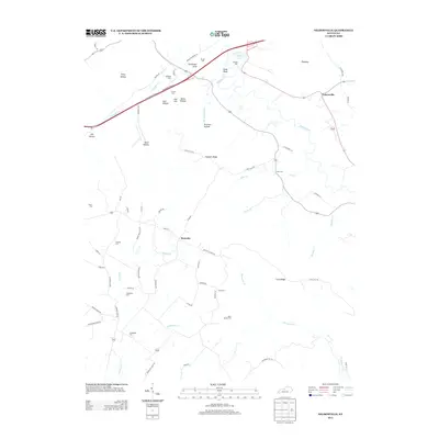
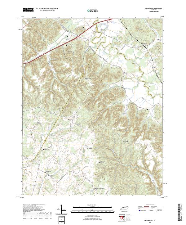 2022 Nelsonville2022 Print · USGSIn the early 2020s, the rural landscapes around Nelsonville and Roanoke remain defined by their historic family cemeteries and winding creek valleys. Researchers can trace local heritage at Union Church Cem, Potts Spring Cem, and the high ground of Farmers Ridge.
End of results
Showing maps 1-10 of 10
Top cities near Roanoke
- Elizabethtown historical maps
- Radcliff historical maps
- Bardstown historical maps
- Hodgenville historical maps
- Lebanon Junction historical maps
- New Haven historical maps
See more
Frequently asked questions
- What are the different types of historical maps available for Roanoke?
- What is the oldest map of Roanoke?
- Where can I purchase historical maps of Roanoke for my home or office?
- Where can I download high-res historical maps of Roanoke?
- Are there historical topographic maps available for Roanoke?
- Is there historical aerial imagery available for Roanoke?
- Where are historical maps of Roanoke sourced from?