Old Maps of Cinda, Kentucky for Genealogy
Trace your family roots with 13 historic maps of Cinda. These high-res maps reveal old neighborhoods, homesites, landmarks, and streets — helping you uncover where your ancestors lived and how the area evolved over time.
- Explore historic neighborhoods: Identify where your relatives may have lived in the 1800s or 1900s.
- Compare maps over time: Trace the changes in streets, buildings, and landmarks for multi-generational research.
- Perfect for genealogy & ancestry research: Used by family historians and researchers to map out lineage and migration.
These maps are an incredible resource for exploring your personal connection to Cinda's past.
Cinda, KY maps
(13)- 1891 Map of Hazard
 1891 Hazard1891 Print · USGSEastern Kentucky's coal country is shown here in the late nineteenth century, focusing on the river-fed valleys of the Cumberland Plateau. Researchers can trace the early layouts of Hazard and Hyden or locate family homesteads near Crockettsville and Dwarf.5 unique versions available
 - 1916 Map of Hyden
 1916 Hyden1916 Print · USGSThe deep hollows of the Kentucky mountains are captured here during the First World War, just as small communities began to coalesce along the waterways. Genealogists can trace family footprints near Hoskinson, Chappell, and landmarks like Levi Lewis Creek.
 - 1919 Map of Hyden
 1919 Hyden1919 Print · USGSThe Middle Fork of the Kentucky River winds through Leslie County during the era of early mountain settlement. Genealogists and researchers can trace family landmarks along Hell for Certain Creek or locate old homesteads near Asher and Wooton.2 unique versions available
 - 1954 Map of Cutshin, 1956 Print
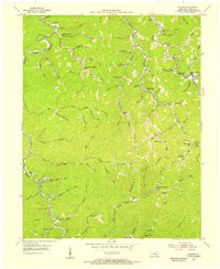 1954 Cutshin1956 Print · USGSLeslie County during the mid-1950s is seen here through its intricate network of creek-bottom settlements and remote mountain schools. Genealogists and historians can locate family landmarks like Larkin Lewis Sch, Big Fork Ch, and the community of Cutshin.2 unique versions available
 - 1957 Map of Jenkins, 1974 Print
 1957 Jenkins1974 Print · USGSThe Cumberland Plateau in the mid-twentieth century reveals a complex landscape of winding river valleys and deep-seated industry. Genealogists and historians can trace the development of Hazard, Jenkins, and Pikeville alongside extensive Numerous Oil and Gas Fields and the routes of the Chesapeake & Ohio Railway.
 - 1960 Map of Jenkins
 1960 Jenkins1960 Print · USGSEastern Kentucky and the West Virginia borderlands are captured at a mid-century peak of the coal and rail era. Trace the industrial corridors of the Chesapeake and Ohio RR through mountain hubs like Hazard and Jenkins.
 - 1977 Map of Hazard, 1983 Print
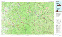 1977 Hazard1983 Print · USGSEastern Kentucky's coal country comes into sharp focus during the late seventies, showing the deep-set river valleys and mountain gaps that shaped regional life. Genealogists can trace family connections through river-bottom settlements like Oneida, Krypton, and Bulan or follow the Seaboard System rail lines.
 - 1980 Map of Cutshin
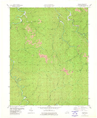 1980 Cutshin1980 Print · USGSLeslie County mountain life and the coal industry meet in this 1980 survey of the Kentucky River's Middle Fork. Genealogists and historians can trace family cemeteries and small settlements like Larkin, Causey, and the Solid Rock Bible Ch.
 - 2011 Map of Cutshin, 2011 Print
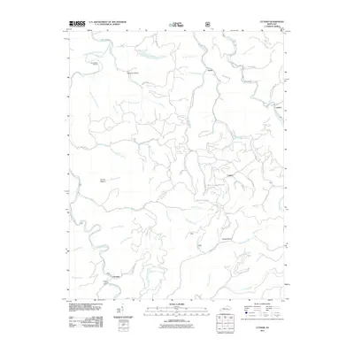 2011 Cutshin2011 Print · USGSLeslie County during the early 2010s reveals a landscape of deep hollows and creek-side settlements. Local historians can trace family roots through the Hardy Bottom Cemetery and the vital community hubs at Cinda or the Chapel Post Office.
 - 2013 Map of Cutshin, 2013 Print
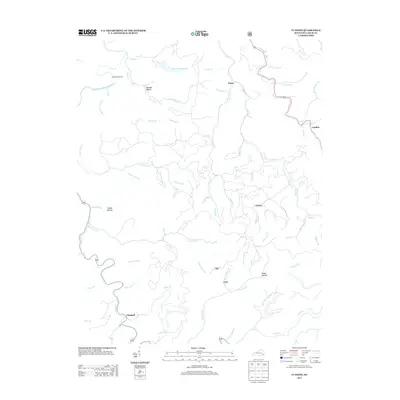 2013 Cutshin2013 Print · USGSLeslie County, Kentucky, is shown here in the early 21st century, centered on the winding waters of the river and mountain forks. Genealogists can trace family landmarks and small communities like Cutshin, Chappell, and the Hardy Bottom Cem.
 - 2016 Map of Cutshin, 2016 Print
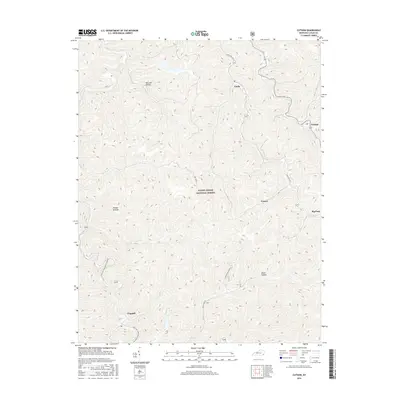 2016 Cutshin2016 Print · USGSLeslie County mountain communities are captured here in the mid-2010s, nestled within the protected boundaries of the Daniel Boone National Forest. You can trace local geography and family land through named hollows and settlements like Cutshin, Causey, and Chappell.
 - 2019 Map of Cutshin, 2019 Print
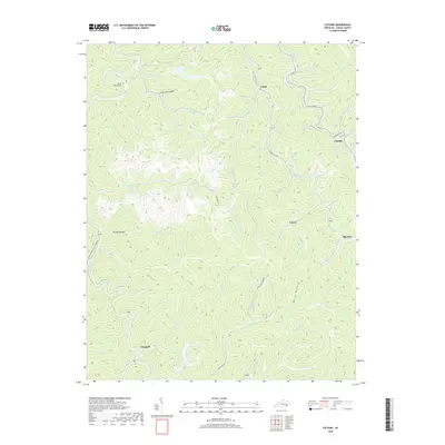 2019 Cutshin2019 Print · USGSLeslie County's intricate network of hollows and creek-side settlements is captured here during the late 2010s. Genealogists and local historians can trace family locations near Hardy Bottom Cem, Chappell, and the namesake community of Cutshin.
 - 2022 Map of Cutshin, 2022 Print
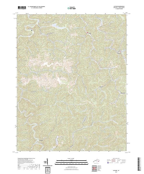 2022 Cutshin2022 Print · USGSLeslie County mountain life in the early 2020s remains deeply rooted in the winding hollows of the Cumberland Plateau. Genealogists and researchers can trace family landmarks like Hardy Bottom Cem and the communities of Cinda, Cutshin, and Causey.
End of results
Showing maps 1-13 of 13
Top cities near Cinda
Frequently asked questions
- What are the different types of historical maps available for Cinda?
- What is the oldest map of Cinda?
- Where can I purchase historical maps of Cinda for my home or office?
- Where can I download high-res historical maps of Cinda?
- Are there historical topographic maps available for Cinda?
- Is there historical aerial imagery available for Cinda?
- Where are historical maps of Cinda sourced from?