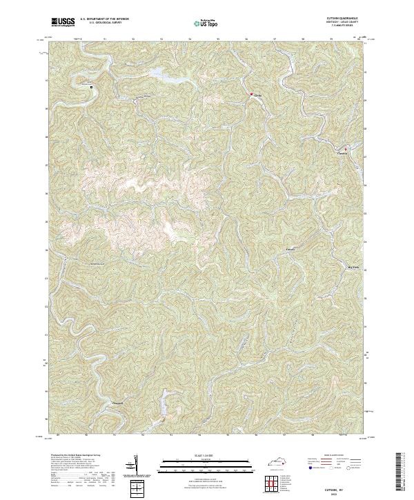
2022 Map of Cutshin
USGS Topo · Published 2022About this map
The Middle Fork Kentucky River defines the northwestern corner of this Leslie County landscape, where the Hardy Bottom Cem and Hardy Bottom mark local family ties to the land. Settlement in this region of Appalachia follows the deep drainage patterns of Cutshin Creek and its numerous tributaries, including Wolf Creek and Raccoon Creek. Small communities such as Cinda, Cutshin, and Causey are linked by winding routes like State Hwy 2427, reflecting a long-standing pattern of mountain habitation concentrated within narrow hollows.
Find a feature on this map
71 named features on this map. Tap any name to fly to it.
Don’t see what you’re looking for? This feature index may not catch every label — zoom into the map to look around manually.
Map Details
Editions of this 2022 Cutshin Map
This is the sole edition of this map. No revisions or reprints were ever made.
Other maps of this area

1887 · Jonesville
USGS Topo · 1:125,000

1891 · Hazard
USGS Topo · 1:125,000

1891 · Jonesville
USGS Topo · 1:125,000

1903 · Harlan
USGS Topo · 1:48,000

1916 · Cornettsville
USGS Topo · 1:62,500

1916 · Harlan
USGS Topo · 1:48,000

1916 · Nolansburg
USGS Topo · 1:48,000

1916 · Hyden
USGS Topo · 1:48,000

1919 · Nolansburg
USGS Topo · 1:62,500

1919 · Hyden
USGS Topo · 1:62,500