
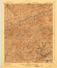
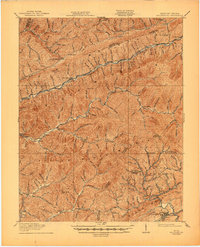
1919 Map of Nolansburg
USGS Topo · Published 1919About this map
Pine Mountain Settlement School and the high ridges of the Cumberland Mountain chain anchor this 1916 survey of the Kentucky-Virginia borderlands. The landscape is defined by the steep, parallel heights of Black Mountain and Little Black Mountain, where the coal and timber economies began to reshape the region's isolated hollows. Industrial rail activity is evident along the Louisville and Nashville RR, connecting river settlements like Nolansburg, Kildav, and Evarts through narrow mountain passes.
Find a feature on this map
150 named features on this map. Tap any name to fly to it.
Don’t see what you’re looking for? This feature index may not catch every label — zoom into the map to look around manually.
Map Details
Editions of this 1919 Nolansburg Map
3 editions found
Other maps of this area

1887 · Jonesville
USGS Topo · 1:125,000

1890 · Whitesburg
USGS Topo · 1:125,000

1891 · Hazard
USGS Topo · 1:125,000

1891 · Jonesville
USGS Topo · 1:125,000

1892 · Whitesburg
USGS Topo · 1:125,000

1894 · Estillville
USGS Topo · 1:125,000

1903 · Harlan
USGS Topo · 1:48,000

1913 · Oven Fork
USGS Topo · 1:48,000

1915 · Whitesburg
USGS Topo · 1:62,500

1916 · Cornettsville
USGS Topo · 1:62,500