
1915 Map of Whitesburg
USGS Topo · Published 1915About this map
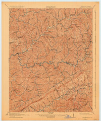
Whitesburg sits at the heart of this 1915 survey, serving as a hub where the Lexington & Northern RR follows the winding path of the North Fork. The landscape is defined by the massive ridge of Pine Mountain to the south and the intricate drainage networks of Rockhouse Creek and the Cumberland River. This era shows a high density of rural infrastructure, with numbered schoolhouses like School No 7 and School No 15 scattered across nearly every hollow, supporting small mountain communities such as Indian Bottom, Blackey, and Jeremiah. The map captures the region just as the railroad was transforming the local economy, connecting coal-rich areas like Mayking and Ermine to wider markets. From the remote settlements of Flaxpatch to the Camp Branch Chapel, the sheet documents the deep-seated social geography of the Kentucky hills before modern highway development.
Find a feature on this map
158 named features on this map. Tap any name to fly to it.
Don’t see what you’re looking for? This feature index may not catch every label — zoom into the map to look around manually.
Map Details
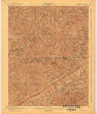
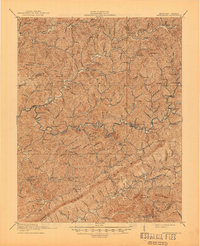
Editions of this 1915 Whitesburg Map
4 editions found
Other maps of this area

1887 · Jonesville
USGS Topo · 1:125,000

1890 · Whitesburg
USGS Topo · 1:125,000

1891 · Hazard
USGS Topo · 1:125,000

1891 · Jonesville
USGS Topo · 1:125,000

1892 · Whitesburg
USGS Topo · 1:125,000

1894 · Estillville
USGS Topo · 1:125,000

1912 · Pound
USGS Topo · 1:48,000

1912 · Hindman
USGS Topo · 1:48,000

1913 · Oven Fork
USGS Topo · 1:48,000

1914 · Pound
USGS Topo · 1:62,500