Old Maps of Napier, Kentucky for Academic Research
Study the evolution of Napier with 17 high-resolution historic maps. Whether you're teaching, researching, or modeling changes in land use, these maps provide essential visual documentation of urban, environmental, and geographic change.
- Analyze long-term change: Track patterns in development, transportation, and natural features.
- Ideal for environmental or urban studies: Support academic projects with primary historical map data.
- Use in the classroom or lab: Educators and researchers rely on these maps to bring historical context to life.
These maps are a powerful tool for teaching, research, and visualizing how Napier has changed over the decades.
Napier, KY maps
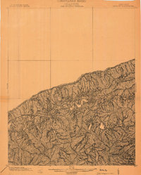
(17)- 1887 Map of Jonesville
 1887 Jonesville1887 Print · USGSThe rugged borderlands of Virginia, Kentucky, and Tennessee are captured in the late nineteenth century during a time of isolated valley settlements. Genealogists and historians can trace family locations near Jonesville, Sneedville, and the remote Kyle's Ford along the Powell River.
 - 1891 Map of Jonesville
 1891 Jonesville1891 Print · USGSThe tri-state borderlands of Virginia, Kentucky, and Tennessee are captured here in the late nineteenth century. Researchers can trace early river crossings and mountain settlements like Poteet Ford, Shafers P.O., and Mt Pleasant.9 unique versions available
 - 1903 Map of Harlan
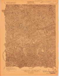
 1903 Harlan1903 Print · USGSThe Harlan highlands are captured at the start of the twentieth century, showing the mountain landscape before industrial mining changed the region. Genealogists can trace early homesteads and drainage ways in the valleys near Harlan, Gray, and Puckett Creek.
 - 1916 Map of Harlan
 1916 Harlan1916 Print · USGSHarlan and the Cumberland River valley are captured here in the years before the coal boom fully reshaped the landscape. Researchers can trace early settlements like White Star and Black Joe, find the Pine Branch School, and locate mountain inclines.
 - 1919 Map of Harlan
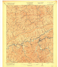 1919 Harlan1919 Print · USGSHarlan County's coal country is captured here during the expansion of the rail-and-river economy. Genealogists and historians can trace the foundations of mountain communities along the Cumberland River, locating early sites like Wallins Creek, Kentenia, and the Wood Sta Blackjoe PO.4 unique versions available
 - 1954 Map of Bledsoe, 1955 Print
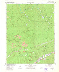
 1954 Bledsoe1955 Print · USGSHarlan County in the mid-fifties shows a world of mountain hollows and coal-country settlements before modern expansion. Genealogists can trace family landmarks like Napier Sch Cem, Abner Chapel, and the isolated Cedar Chapel along the creek branches.3 unique versions available
 - 1955 Map of Johnson City
 1955 Johnson City1955 Print · USGSEast Tennessee and the bordering highlands of Virginia and Kentucky appear here during the post-war industrial boom. You can trace the complex network of mountain ridges and new TVA lakes, from Johnson City to the coalfields near Middlesboro and Lynch.
 - 1957 Map of Johnson City, 1966 Print
 1957 Johnson City1966 Print · USGSUpper East Tennessee and Southwest Virginia are shown here during the mid-sixties transition of the Appalachians. Researchers can trace the industrial rail hubs of Kingsport, the sprawling waters of Cherokee Lake, and the historic Cumberland Gap.
 - 1960 Map of Johnson City
 1960 Johnson City1960 Print · USGSUpper East Tennessee and the surrounding tri-state area are shown in the mid-fifties during the height of the TVA reservoir era. Trace the industrial rail lines of the Southern and Louisville and Nashville between Kingsport and Johnson City.
 - 1963 Map of Johnson City
 1963 Johnson City1963 Print · USGSThe Tri-Cities and the surrounding Appalachian ridges are shown in detail during the early sixties, highlighting the era's vital rail and river networks. Genealogists and historians can trace the routes of the Clinchfield RR and locate settlements from Rogersville to Elizabethton.
 - 1977 Map of Middlesboro, 1983 Print
 1977 Middlesboro1983 Print · USGSThe tri-state border region of Kentucky, Tennessee, and Virginia is shown here in the late seventies as the rail-and-river economy hummed through the gaps. Trace local family roots and transit routes through Middlesboro, Harlan, and Cumberland Gap National Historical Park.
 - 1980 Map of Bledsoe, 1981 Print
 1980 Bledsoe1981 Print · USGSHarlan County's coal-country landscape is captured here in the early eighties, showing the intersection of industrial extraction and the Kentenia State Forest. Researchers can locate family landmarks like Green Hill Cem, trace the Louisville and Nashville rail line, or find the small community of Bledsoe.
 - 2011 Map of Bledsoe, 2011 Print
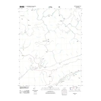 2011 Bledsoe2011 Print · USGSCovers Napier, including Rhea, Rosspoint, and other nearby areas
 - 2013 Map of Bledsoe, 2013 Print
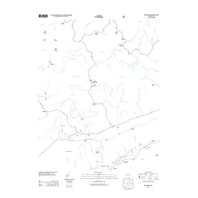 2013 Bledsoe2013 Print · USGSCovers Napier, including Rhea, Rosspoint, and other nearby areas
 - 2016 Map of Bledsoe, 2016 Print
 2016 Bledsoe2016 Print · USGSCovers Napier, including Rhea, Rosspoint, and other nearby areas
 - 2019 Map of Bledsoe, 2019 Print
 2019 Bledsoe2019 Print · USGSCovers Napier, including Rhea, Rosspoint, and other nearby areas
 - 2022 Map of Bledsoe, 2022 Print
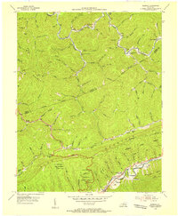
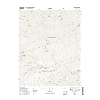
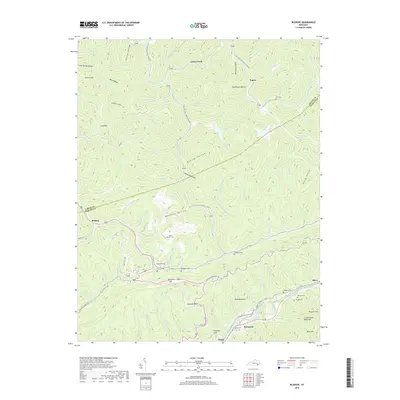
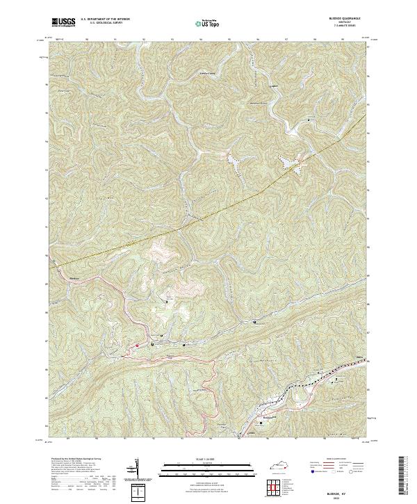 2022 Bledsoe2022 Print · USGSHarlan County's steep ridges and family hollows are captured here in the early twenty-first century. Genealogists and local historians can trace family landmarks and burial sites like Huff Cem, Sergent Cem, and the community of Bledsoe.
End of results
Showing maps 1-17 of 17
Top cities near Napier
- Harlan historical maps
- Evarts historical maps
- Loyall historical maps
- Vicco historical maps
- Hyden historical maps
- Wallins Creek historical maps
Frequently asked questions
- What are the different types of historical maps available for Napier?
- What is the oldest map of Napier?
- Where can I purchase historical maps of Napier for my home or office?
- Where can I download high-res historical maps of Napier?
- Are there historical topographic maps available for Napier?
- Is there historical aerial imagery available for Napier?
- Where are historical maps of Napier sourced from?