Old Maps of Black Hawk, Kentucky
Explore 10 old maps of Black Hawk, spanning from 1953 to today. These high-resolution historic maps reveal how streets, neighborhoods, landmarks, and natural features evolved over time — perfect for genealogy, metal detecting, research, and local history exploration.
What you can do with these maps:
- See how Black Hawk changed over time: Compare historical maps to modern-day views to trace roads, homesites, rail lines & more.
- View detailed metadata: Each map includes creators, publishers, year, scale, and archive source.
- Overlay maps with satellite & LiDAR: Visualize the past alongside modern tools to explore terrain & human change.
- Trusted historical sources: Maps sourced from the USGS, Library of Congress, and other archives.
- Access maps your way: View online, download high-res files, or order prints for personal or research use.
Start exploring old maps of Black Hawk to uncover forgotten places, hidden landmarks, and the deep history beneath your feet.
Black Hawk, KY maps
(10)- 1953 Map of Lamasco, 1954 Print
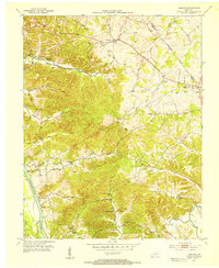 1953 Lamasco1954 Print · USGSWestern Kentucky's rural landscape is captured here in the early fifties, just as the traditional river-and-road network remained largely intact. Researchers can trace family history through dozens of landmarks like Trigg Furnace Sch, Siloam Ch, and Parker Cem.2 unique versions available
 - 1956 Map of Nashville, 1971 Print
 1956 Nashville1971 Print · USGSThe Tennessee-Kentucky borderlands come into focus in the mid-1960s as major reservoir projects transformed the Cumberland and Tennessee river valleys. Researchers can trace the rail networks of the Louisville and Nashville and visit sites like Fort Campbell and Fort Donelson National Military Park.2 unique versions available
 - 1959 Map of Nashville
 1959 Nashville1959 Print · USGSMiddle Tennessee and Southern Kentucky come into focus during the late fifties, showing the region's transition into a modern transportation and military hub. Researchers can trace the sprawling Fort Campbell Military Reservation or locate historic rail stops along the Tennessee Central Ry and Illinois Central RR.
 - 1967 Map of Lamasco, 1968 Print
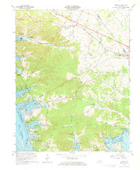 1967 Lamasco1968 Print · USGSTrigg and Lyon Counties are shown in the late sixties as the waters of Lake Barkley reshape the valley. Genealogists can locate family burial sites like Bethany Cem and Stephens Cem or trace the early growth of Rockcastle.2 unique versions available
 - 1980 Map of Hopkinsville, 1983 Print
 1980 Hopkinsville1983 Print · USGSThe Kentucky and Tennessee borderlands appear here at the start of the 1980s, centered on the massive Fort Campbell Military Reservation. Trace the impact of the Cumberland River impoundment at Lake Barkley or locate rail hubs like Guthrie and Elkton.
 - 2010 Map of Lamasco, 2010 Print
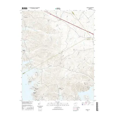
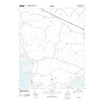 2010 Lamasco2010 Print · USGSCovers Black Hawk, including Rockcastle, Blue Water Estates, and other nearby areas
 - 2013 Map of Lamasco, 2013 Print
 2013 Lamasco2013 Print · USGSCovers Black Hawk, including Rockcastle, Blue Water Estates, and other nearby areas
 - 2016 Map of Lamasco, 2016 Print
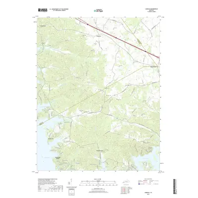
 2016 Lamasco2016 Print · USGSCovers Black Hawk, including Rockcastle, Blue Water Estates, and other nearby areas
 - 2019 Map of Lamasco, 2019 Print
 2019 Lamasco2019 Print · USGSCovers Black Hawk, including Rockcastle, Blue Water Estates, and other nearby areas
 - 2022 Map of Lamasco, 2022 Print
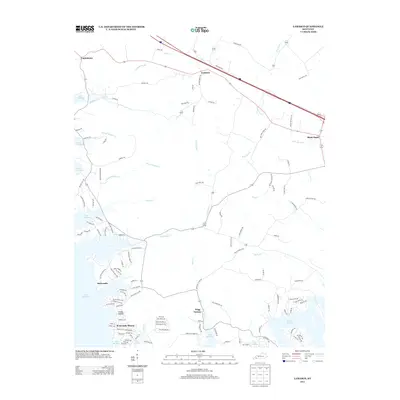
 2022 Lamasco2022 Print · USGSLyon and Trigg Counties are shown here as the modern lakefront economy meets deep-rooted Kentucky heritage. Researchers can trace family history through dozens of remote sites like the Cunningham Trigg Furnace Cem, Trigg Furnace, and Hurricane Church.
End of results
Showing maps 1-10 of 10
Top cities near Black Hawk
- Princeton historical maps
- Cadiz historical maps
- Dawson Springs historical maps
- Eddyville historical maps
- Kuttawa historical maps
Frequently asked questions
- What are the different types of historical maps available for Black Hawk?
- What is the oldest map of Black Hawk?
- Where can I purchase historical maps of Black Hawk for my home or office?
- Where can I download high-res historical maps of Black Hawk?
- Are there historical topographic maps available for Black Hawk?
- Is there historical aerial imagery available for Black Hawk?
- Where are historical maps of Black Hawk sourced from?