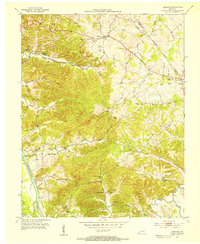
1953 Map of Lamasco
USGS Topo · Published 1954About this map
Trigg Furnace stands as a focal point in this 1950s survey of the Kentucky borderlands, reflecting the region's industrial heritage near the Cumberland River. The settlement of Lamasco sits at a central crossroads, surrounded by a landscape defined by deeply etched drainages like McNabb Creek and Dry Fork Creek. This era of the landscape is characterized by its rural infrastructure, where small community centers like Rockcastle and Shelly are supported by local institutions including Bethany Ch and Confederate Sch.
Find a feature on this map
48 named features on this map. Tap any name to fly to it.
Don’t see what you’re looking for? This feature index may not catch every label — zoom into the map to look around manually.
Map Details
Editions of this 1953 Lamasco Map
2 editions found
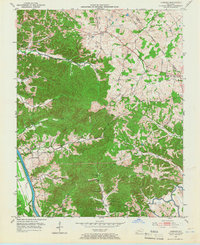
Other maps of this area

1908 · Princeton
USGS Topo · 1:62,500

1910 · Princeton
USGS Topo · 1:62,500

1928 · Eddyville
USGS Topo · 1:48,000

1931 · Eddyville
USGS Topo · 1:62,500

1936 · Eddyville
USGS Topo · 1:48,000

1936 · Mont
USGS Topo · 1:24,000

1936 · Fenton
USGS Topo · 1:24,000

1936 · Golden Pond
USGS Topo · 1:48,000

1949 · Paducah
USGS Topo · 1:250,000

1950 · Paducah
USGS Topo · 1:250,000