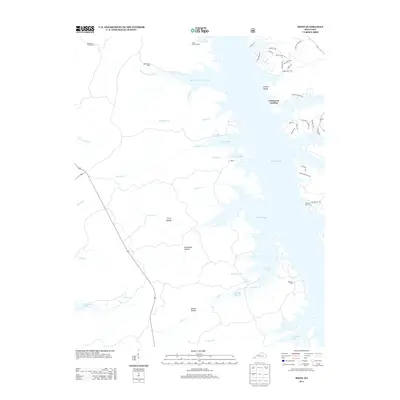
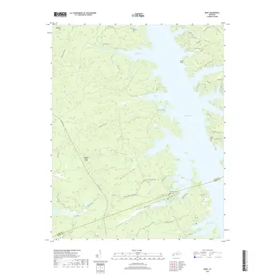
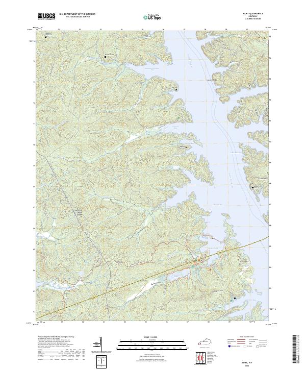
1936 Map of Mont
USGS Topo · Published 1936About this map
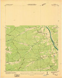
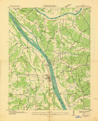
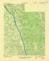
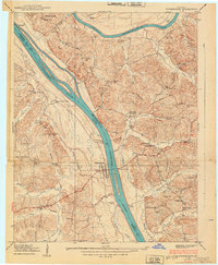
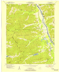
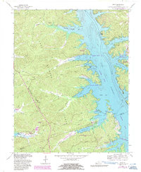
The Tennessee Basin Divide dominates this mid-1930s landscape, separating the intricate network of creek drainages that define the topography of Lyon and Trigg counties. Local life at the time centered around small rural nodes like Mont and the historic Center Furnace industrial site, where the Center Furnace Ch and nearby Hillman Store served the surrounding community. This survey, conducted by the Tennessee Valley Authority and the U.S. Geological Survey, captures the area just before significant hydrological changes transformed the region's river systems.
Find a feature on this map
38 named features on this map. Tap any name to fly to it.
Don’t see what you’re looking for? This feature index may not catch every label — zoom into the map to look around manually.
Map Details
Editions of this 1936 Mont Map
This is the sole edition of this map. No revisions or reprints were ever made.
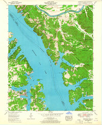
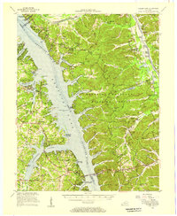
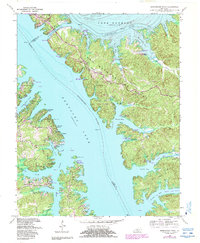
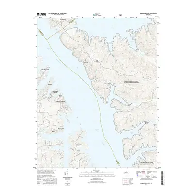
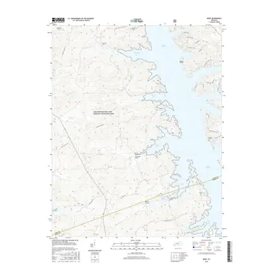
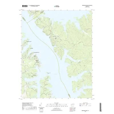
Historical Maps of Commerce Landing Through Time
19 maps found
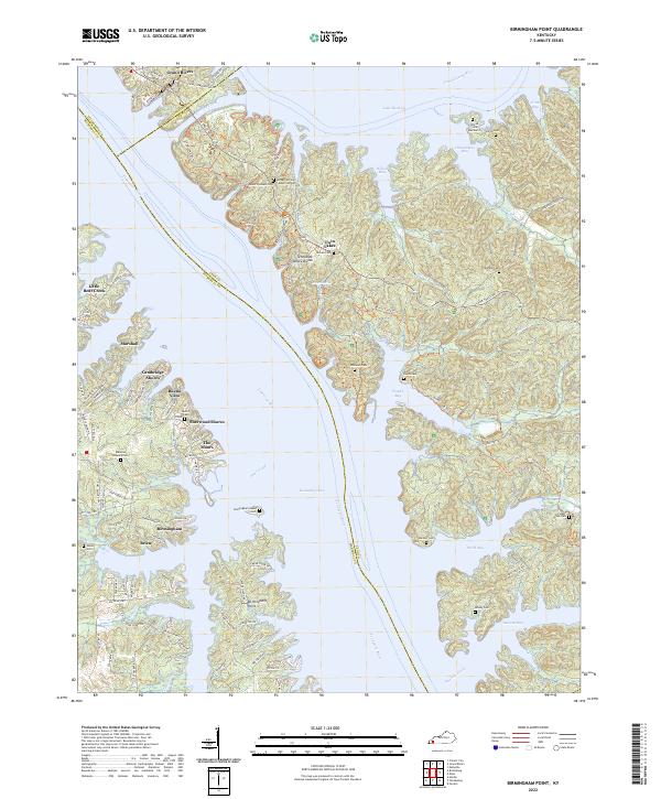
1936 Birmingham
Lyon County, KY
1936 Golden Pond
Lyon County, KY
1936 Mont
Lyon County, KY
1938 Birmingham
Lyon County, KY
1950 Mont
Lyon County, KY
1955 Birmingham Point
Lyon County, KY
1955 Golden Pond
Lyon County, KY
1967 Birmingham Point
Lyon County, KY
1967 Mont
Lyon County, KY
2010 Birmingham Point
Lyon County, KY
2010 Mont
Lyon County, KY
2013 Birmingham Point
Lyon County, KY
2013 Mont
Lyon County, KY
2016 Birmingham Point
Lyon County, KY
2016 Mont
Lyon County, KY
2019 Birmingham Point
Lyon County, KY
2019 Mont
Lyon County, KY
2022 Birmingham Point
Lyon County, KY
2022 Mont
Lyon County, KY