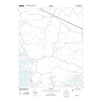
2010 Map of Lamasco
USGS Topo · Published 2010About this map
Trigg Furnace stands as a focal point in this Trigg County landscape, marking the intersection of industrial heritage and the rising waters of the Cumberland River valley. The western edge of the map is dominated by the sprawling reaches of Lake Barkley, which has fundamentally reshaped the geography of historic settlements like Rockcastle and Rockcastle Shores. This 2010 survey provides a detailed look at the rural cemeteries that anchor the local genealogy, including the Confederate Cemetery near Confederate Branch and numerous family plots such as the Steinbaugh Cemetery, Stephens Cemetery, and Critmore Cemetery. The interior terrain is defined by a dense network of watercourses including McNabb Creek and Hurricane Creek, which carve through the land between the community of Lamasco and the newer residential developments near Goose Hollow.
Find a feature on this map
68 named features on this map. Tap any name to fly to it.
Don’t see what you’re looking for? This feature index may not catch every label — zoom into the map to look around manually.
Map Details
Editions of this 2010 Lamasco Map
This is the sole edition of this map. No revisions or reprints were ever made.
Other maps of this area

1908 · Princeton
USGS Topo · 1:62,500

1910 · Princeton
USGS Topo · 1:62,500

1928 · Eddyville
USGS Topo · 1:48,000

1931 · Eddyville
USGS Topo · 1:62,500

1936 · Eddyville
USGS Topo · 1:48,000

1936 · Mont
USGS Topo · 1:24,000

1936 · Fenton
USGS Topo · 1:24,000

1936 · Golden Pond
USGS Topo · 1:48,000

1949 · Paducah
USGS Topo · 1:250,000

1950 · Paducah
USGS Topo · 1:250,000