Old Maps of Salyersville, Kentucky for Genealogy
Trace your family roots with 21 historic maps of Salyersville. These high-res maps reveal old neighborhoods, homesites, landmarks, and streets — helping you uncover where your ancestors lived and how the area evolved over time.
- Explore historic neighborhoods: Identify where your relatives may have lived in the 1800s or 1900s.
- Compare maps over time: Trace the changes in streets, buildings, and landmarks for multi-generational research.
- Perfect for genealogy & ancestry research: Used by family historians and researchers to map out lineage and migration.
These maps are an incredible resource for exploring your personal connection to Salyersville's past.
Salyersville, KY maps
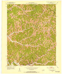
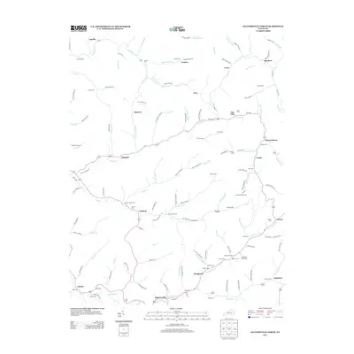
(21)- 1889 Map of Salyersville, 1949 Print
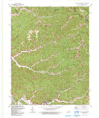
 1889 Salyersville1949 Print · USGSEastern Kentucky at the close of the nineteenth century reveals a complex landscape of river-valley settlements and highland hollows. Genealogists can trace early homesteads and communities like Salyersville, Hazel Green, and Jackson along the winding Licking River and Quicksand Creek.
 - 1891 Map of Salyersville
 1891 Salyersville1891 Print · USGSEastern Kentucky's rugged plateau is captured in the late nineteenth century as small river towns and remote hollows defined the region. Genealogists can trace family roots through mountain settlements like Salyersville, Hazel Green, and Maytown along the Licking River.2 unique versions available
 - 1899 Map of Salyersville
 1899 Salyersville1899 Print · USGSEastern Kentucky's mountain communities were well-established along the winding river forks at the turn of the century. Genealogists and local historians can trace family-named landmarks and old settlements like Hazel Green, Ezel, and West Liberty along the Licking River.4 unique versions available
 - 1951 Map of Salyersville North, 1953 Print
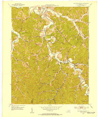
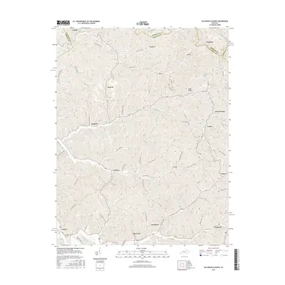
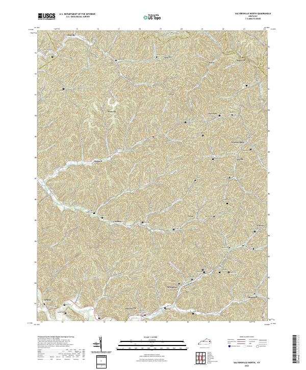
 1951 Salyersville North1953 Print · USGSMagoffin County was a landscape of remote mountain schoolhouses and family cemeteries in the early fifties. Local historians can trace dozens of rural landmarks, from Salyersville on the Licking River to the numerous Oil Wells and the Rockhouse Ch in the northern hollows.
 - 1951 Map of Salyersville South, 1953 Print
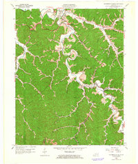
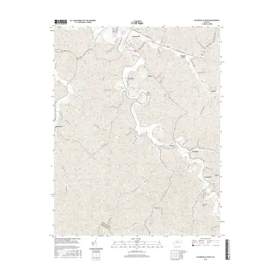
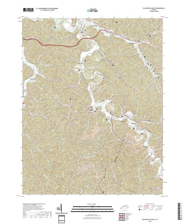
 1951 Salyersville South1953 Print · USGSMagoffin County life in the early fifties was centered on the river valleys and the busy Chesapeake and Ohio rail line. Researchers can trace family sites at Swampton, locate dozens of remote hollow schools like Bear Branch Sch, and find ancestors in the Gardner Cem.
 - 1957 Map of Jenkins, 1974 Print
 1957 Jenkins1974 Print · USGSThe Cumberland Plateau in the mid-twentieth century reveals a complex landscape of winding river valleys and deep-seated industry. Genealogists and historians can trace the development of Hazard, Jenkins, and Pikeville alongside extensive Numerous Oil and Gas Fields and the routes of the Chesapeake & Ohio Railway.
 - 1960 Map of Jenkins
 1960 Jenkins1960 Print · USGSEastern Kentucky and the West Virginia borderlands are captured at a mid-century peak of the coal and rail era. Trace the industrial corridors of the Chesapeake and Ohio RR through mountain hubs like Hazard and Jenkins.
 - 1962 Map of Salyersville South, 1964 Print
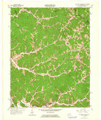
 1962 Salyersville South1964 Print · USGSMagoffin County in the early sixties is a landscape defined by the winding Licking River and the reach of the coal-hauling rail lines. Researchers can trace family history through dozens of namesake landmarks like Howard-Shepard Cem, the settlement at Royalton, and the Carver Station stop.3 unique versions available
 - 1962 Map of Salyersville North, 1964 Print
 1962 Salyersville North1964 Print · USGSMagoffin County in the early sixties shows a landscape of deep hollows and ridge-top communities tied to the Licking River. Researchers can trace rural landmarks like the Beech Grove Sch, Buffalo Ch, and the family-named Franklin Cem.3 unique versions available
 - 1982 Map of Irvine, 1983 Print
 1982 Irvine1983 Print · USGSEastern Kentucky's hill country is mapped here in the early eighties, showcasing the complex river valleys and ridge-top settlements of the Cumberland Plateau. Researchers can trace historic rail lines like the Louisville & Nashville RR or locate rural communities such as Beattyville and Slade.
 - 1992 Map of Salyersville North
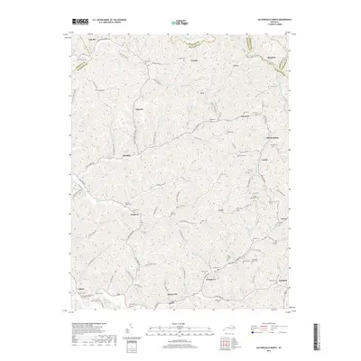
 1992 Salyersville North1992 Print · USGSIn the early 1990s, the Licking River valley remained a landscape of dispersed family settlements and deep-hollow industry. Genealogists can locate numerous family burial sites like Footbridge Cem and trace small communities from Logville to Lickburg.
 - 2010 Map of Salyersville North, 2010 Print
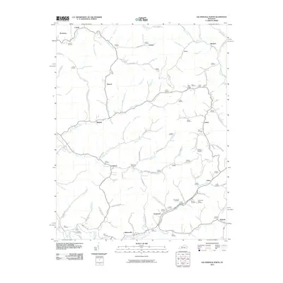 2010 Salyersville North2010 Print · USGSCovers Salyersville, including Lickburg, Plutarch, and other nearby areas
 - 2010 Map of Salyersville South, 2010 Print
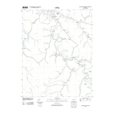 2010 Salyersville South2010 Print · USGSCovers Salyersville, including Swampton, Lakeville, and other nearby areas
 - 2013 Map of Salyersville South, 2013 Print
 2013 Salyersville South2013 Print · USGSCovers Salyersville, including Swampton, Lakeville, and other nearby areas
 - 2013 Map of Salyersville North, 2013 Print
 2013 Salyersville North2013 Print · USGSCovers Salyersville, including Lickburg, Plutarch, and other nearby areas
 - 2016 Map of Salyersville South, 2016 Print
 2016 Salyersville South2016 Print · USGSCovers Salyersville, including Swampton, Lakeville, and other nearby areas
 - 2016 Map of Salyersville North, 2016 Print
 2016 Salyersville North2016 Print · USGSCovers Salyersville, including Lickburg, Plutarch, and other nearby areas
 - 2019 Map of Salyersville North, 2019 Print
 2019 Salyersville North2019 Print · USGSCovers Salyersville, including Lickburg, Plutarch, and other nearby areas
 - 2019 Map of Salyersville South, 2019 Print
 2019 Salyersville South2019 Print · USGSCovers Salyersville, including Swampton, Lakeville, and other nearby areas
 - 2022 Map of Salyersville North, 2022 Print
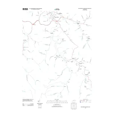
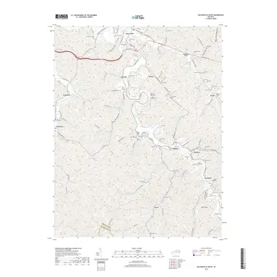
 2022 Salyersville North2022 Print · USGSMagoffin County near the headwaters of the Licking River is documented here in its contemporary landscape. Researchers can trace dozens of family cemeteries like Christopher Gullet Cem and Tackett Memorial Cem or locate community centers in Salyersville and Lickburg.
 - 2022 Map of Salyersville South, 2022 Print
 2022 Salyersville South2022 Print · USGSMagoffin County in the early 2020s remains a landscape of deep-rooted family settlements tucked into the hollows of the Licking River. Researchers can trace ancestral sites across a network of rural roads and cemeteries like Gardner Cem or explore the path of the Dawkins Line Rail Trl near Royalton.
End of results
Showing maps 1-21 of 21
Top cities near Salyersville
Frequently asked questions
- What are the different types of historical maps available for Salyersville?
- What is the oldest map of Salyersville?
- Where can I purchase historical maps of Salyersville for my home or office?
- Where can I download high-res historical maps of Salyersville?
- Are there historical topographic maps available for Salyersville?
- Is there historical aerial imagery available for Salyersville?
- Where are historical maps of Salyersville sourced from?