2000s (21st Century) Maps of Loretto, Kentucky
Explore 15 historic maps of Loretto from the 2000s (21st Century). These maps offer a rare glimpse into what life looked like during the 2000s — showing old roads, neighborhoods, homes, and landmarks that have changed or disappeared over time.
Whether you're researching your family's past, planning a metal detecting trip, or studying how Loretto's landscape evolved across the 2000s, these high-resolution maps are a powerful tool for exploring the history of this region.
- Focus on a specific era: All maps on this page are from the 2000s, giving you a focused view of this time period.
- See what’s changed: Compare century-old streets, trails, and buildings to today's modern landscape using overlays and satellite layers.
- Research with precision: Use these maps for genealogy, historical research, land use analysis, or educational projects.
- View, download, or print: Maps are fully viewable online in high resolution, and can be downloaded or printed for your own records.
Start exploring Loretto's history through authentic maps from the 2000s. This is your window into the past.
Loretto, KY maps
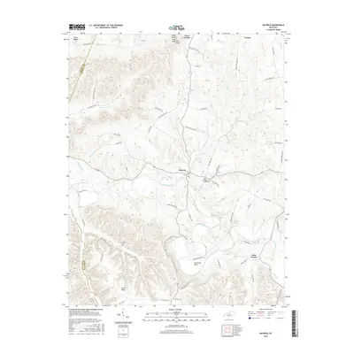
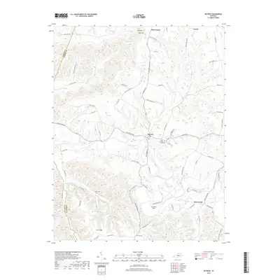
(15)- 2010 Map of Raywick, 2010 Print
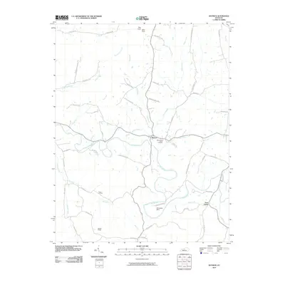 2010 Raywick2010 Print · USGSCovers Loretto, including Raywick, Saint Joseph, and other nearby areas
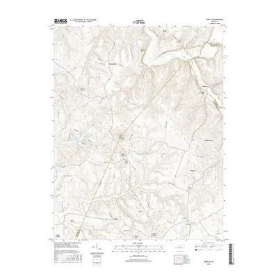
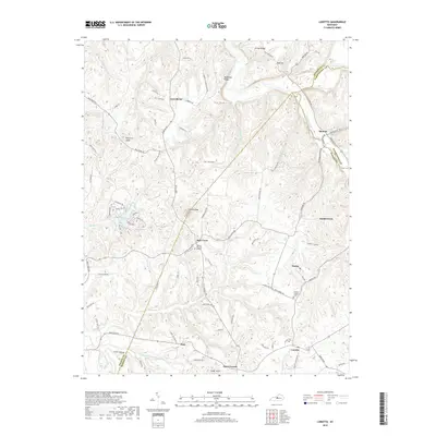
 - 2010 Map of Loretto, 2010 Print
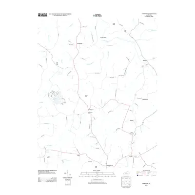
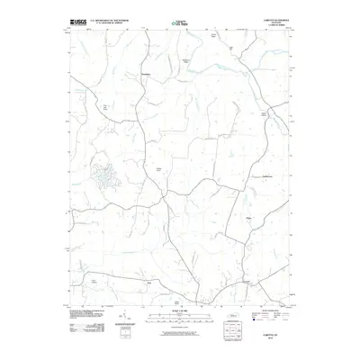 2010 Loretto2010 Print · USGSCovers Loretto, including Nerinx, Dant, and other nearby areas
 - 2010 Map of Saint Catharine, 2010 Print
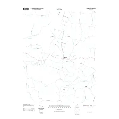
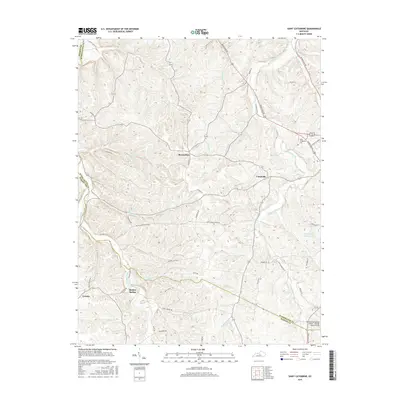
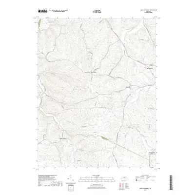
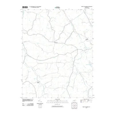 2010 Saint Catharine2010 Print · USGSCovers Loretto, including Saint Catharine, Cisselville, and other nearby areas
 - 2013 Map of Saint Catharine, 2013 Print
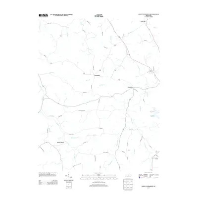 2013 Saint Catharine2013 Print · USGSCovers Loretto, including Saint Catharine, Cisselville, and other nearby areas
 - 2013 Map of Loretto, 2013 Print
 2013 Loretto2013 Print · USGSCovers Loretto, including Nerinx, Dant, and other nearby areas
 - 2013 Map of Raywick, 2013 Print
 2013 Raywick2013 Print · USGSCovers Loretto, including Raywick, Saint Joseph, and other nearby areas
 - 2016 Map of Saint Catharine, 2016 Print
 2016 Saint Catharine2016 Print · USGSCovers Loretto, including Saint Catharine, Cisselville, and other nearby areas
 - 2016 Map of Raywick, 2016 Print
 2016 Raywick2016 Print · USGSCovers Loretto, including Raywick, Saint Joseph, and other nearby areas
 - 2016 Map of Loretto, 2016 Print
 2016 Loretto2016 Print · USGSCovers Loretto, including Nerinx, Dant, and other nearby areas
 - 2019 Map of Saint Catharine, 2019 Print
 2019 Saint Catharine2019 Print · USGSCovers Loretto, including Saint Catharine, Cisselville, and other nearby areas
 - 2019 Map of Raywick, 2019 Print
 2019 Raywick2019 Print · USGSCovers Loretto, including Raywick, Saint Joseph, and other nearby areas
 - 2019 Map of Loretto, 2019 Print
 2019 Loretto2019 Print · USGSCovers Loretto, including Nerinx, Dant, and other nearby areas
 - 2022 Map of Saint Catharine, 2022 Print
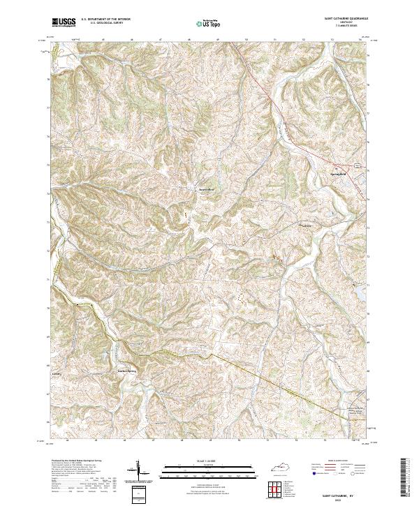 2022 Saint Catharine2022 Print · USGSThe rolling hill country of Washington and Marion counties is captured here in the modern era, showing the areas around Springfield and Loretto. Genealogists and local historians can trace family-named routes and small settlements like Bearwallow, Cisselville, and Burkes Spring.
 - 2022 Map of Raywick, 2022 Print
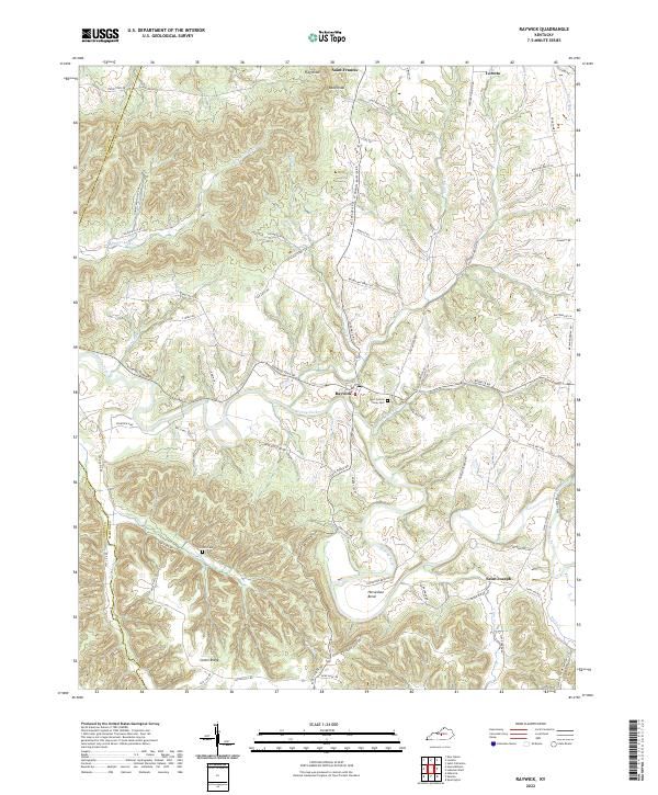 2022 Raywick2022 Print · USGSMarion County's rolling river valleys and ridge-top communities are captured here in the early twenty-first century. Genealogists can trace family landmarks like Saint Francis Xavier Cem and Sutton Cem or follow the waters of the Rolling Fork.
 - 2022 Map of Loretto, 2022 Print
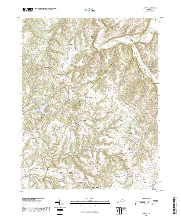 2022 Loretto2022 Print · USGSMarion and Nelson counties remain centered on their rural crossroads and religious heritage in this contemporary survey. Researchers can trace family roots through the Thomas Burying Ground, Holy Cross, and the historic settlement of Nerinx.
End of results
Showing maps 1-15 of 15
Top cities near Loretto
- Bardstown historical maps
- Lebanon historical maps
- Springfield historical maps
- New Haven historical maps
- Raywick historical maps
Frequently asked questions
- What are the different types of historical maps available for Loretto?
- What is the oldest map of Loretto?
- Where can I purchase historical maps of Loretto for my home or office?
- Where can I download high-res historical maps of Loretto?
- Are there historical topographic maps available for Loretto?
- Is there historical aerial imagery available for Loretto?
- Where are historical maps of Loretto sourced from?