Old Maps of Loretto, Kentucky for Metal Detecting
Plan your next treasure hunt with 21 historic maps of Loretto. Find old homesites, ghost towns, trails, and gathering spots that may be lost to time — perfect for identifying promising metal detecting locations.
- Locate forgotten sites: Uncover places like long-lost settlements, abandoned rail lines, or gathering spots.
- Plan better hunts: Use map overlays combined with LiDAR or satellite views to narrow in on historically rich areas.
- Made for detectorists: Thousands of hobbyists use these maps to discover relics, coins, and hidden history.
Use these historic maps to boost your research and find new opportunities beneath the surface of Loretto.
Loretto, KY maps
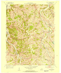
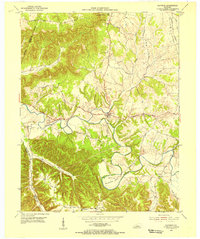
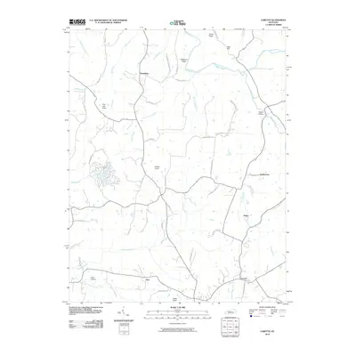
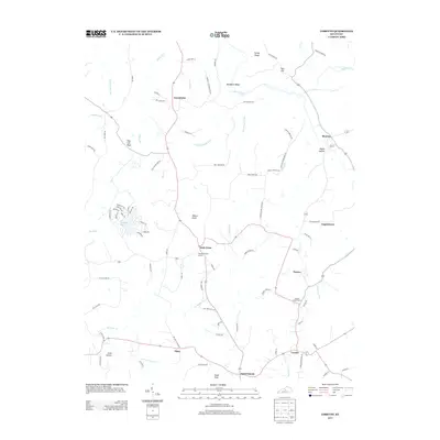
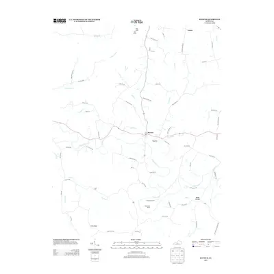
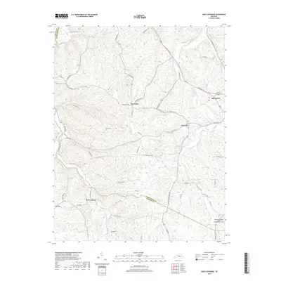
(21)- 1953 Map of Loretto, 1954 Print
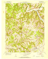 1953 Loretto1954 Print · USGSMarion County life in the early fifties was centered on parish communities and the railroad corridor. Genealogists can trace family roots through landmarks like Holy Cross, Sisters of Loretto Convent, and the Dant (Dants Sta) rail stop.3 unique versions available
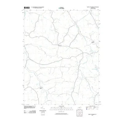
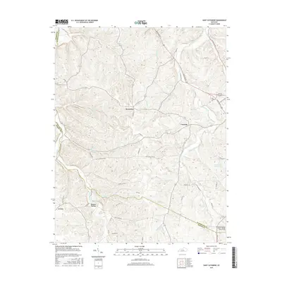
 - 1953 Map of Saint Catharine, 1954 Print
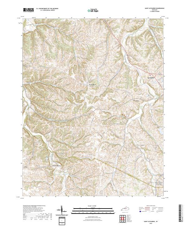
 1953 Saint Catharine1954 Print · USGSWashington County's rural landscapes and Catholic heritage are preserved in this mid-century survey. Genealogists and historians can trace family-named landmarks like Burkes Spring and Bearwallow or study the grounds of Saint Catharine Academy.2 unique versions available
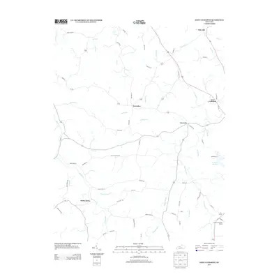
 - 1953 Map of Raywick, 1955 Print
 1953 Raywick1955 Print · USGSMarion County in the early fifties is captured here as a landscape of river-bottom farms and rural church communities. Genealogists can trace family roots through the St Francis Xavier Cem, the settlement of Raywick, and Highview Sch.3 unique versions available
 - 1957 Map of Winchester, 1968 Print
 1957 Winchester1968 Print · USGSCentral Kentucky's landscape in the mid-twentieth century features the sprawling Fort Knox and the early parkway system. Genealogists and historians can trace rail lines like the Southern Railway and find landmarks from Bernheim Forest to Pilot Knob.3 unique versions available
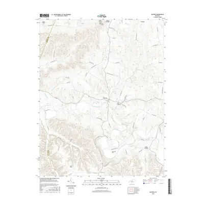
 - 1960 Map of Winchester
 1960 Winchester1960 Print · USGSCentral Kentucky's diverse landscape is shown here at mid-century, from the bluegrass plains to the rugged Pottsville Escarpment. Genealogists and historians can trace the rail-and-river network connecting towns like Bardstown and Stanford alongside landmarks like Lake Cumberland.
 - 1981 Map of Elizabethtown, 1983 Print
 1981 Elizabethtown1983 Print · USGSCentral Kentucky in the early eighties shows a landscape of military installations, state parks, and historic sites. Genealogists and historians can trace rail lines like the Louisville and Nashville or locate sites like Lebanon National Cemetery and the Lincoln Memorial National Historic Site.
 - 2010 Map of Raywick, 2010 Print
 2010 Raywick2010 Print · USGSCovers Loretto, including Raywick, Saint Joseph, and other nearby areas
 - 2010 Map of Loretto, 2010 Print
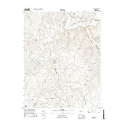
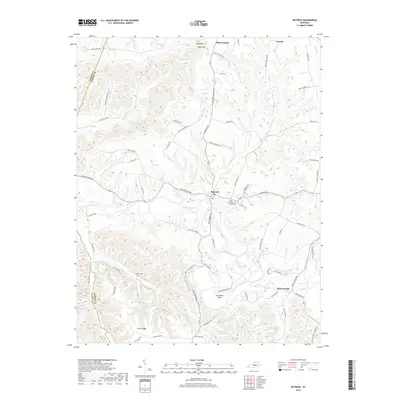
 2010 Loretto2010 Print · USGSCovers Loretto, including Nerinx, Dant, and other nearby areas
 - 2010 Map of Saint Catharine, 2010 Print
 2010 Saint Catharine2010 Print · USGSCovers Loretto, including Saint Catharine, Cisselville, and other nearby areas
 - 2013 Map of Saint Catharine, 2013 Print
 2013 Saint Catharine2013 Print · USGSCovers Loretto, including Saint Catharine, Cisselville, and other nearby areas
 - 2013 Map of Loretto, 2013 Print
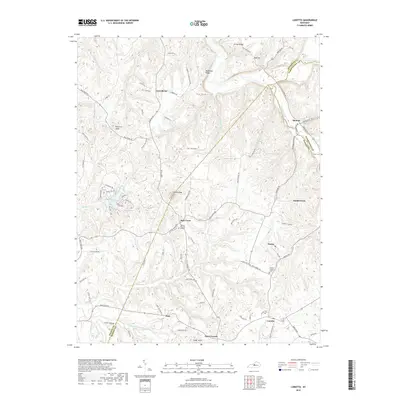
 2013 Loretto2013 Print · USGSCovers Loretto, including Nerinx, Dant, and other nearby areas
 - 2013 Map of Raywick, 2013 Print
 2013 Raywick2013 Print · USGSCovers Loretto, including Raywick, Saint Joseph, and other nearby areas
 - 2016 Map of Saint Catharine, 2016 Print
 2016 Saint Catharine2016 Print · USGSCovers Loretto, including Saint Catharine, Cisselville, and other nearby areas
 - 2016 Map of Raywick, 2016 Print
 2016 Raywick2016 Print · USGSCovers Loretto, including Raywick, Saint Joseph, and other nearby areas
 - 2016 Map of Loretto, 2016 Print
 2016 Loretto2016 Print · USGSCovers Loretto, including Nerinx, Dant, and other nearby areas
 - 2019 Map of Saint Catharine, 2019 Print
 2019 Saint Catharine2019 Print · USGSCovers Loretto, including Saint Catharine, Cisselville, and other nearby areas
 - 2019 Map of Raywick, 2019 Print
 2019 Raywick2019 Print · USGSCovers Loretto, including Raywick, Saint Joseph, and other nearby areas
 - 2019 Map of Loretto, 2019 Print
 2019 Loretto2019 Print · USGSCovers Loretto, including Nerinx, Dant, and other nearby areas
 - 2022 Map of Saint Catharine, 2022 Print
 2022 Saint Catharine2022 Print · USGSThe rolling hill country of Washington and Marion counties is captured here in the modern era, showing the areas around Springfield and Loretto. Genealogists and local historians can trace family-named routes and small settlements like Bearwallow, Cisselville, and Burkes Spring.
 - 2022 Map of Raywick, 2022 Print
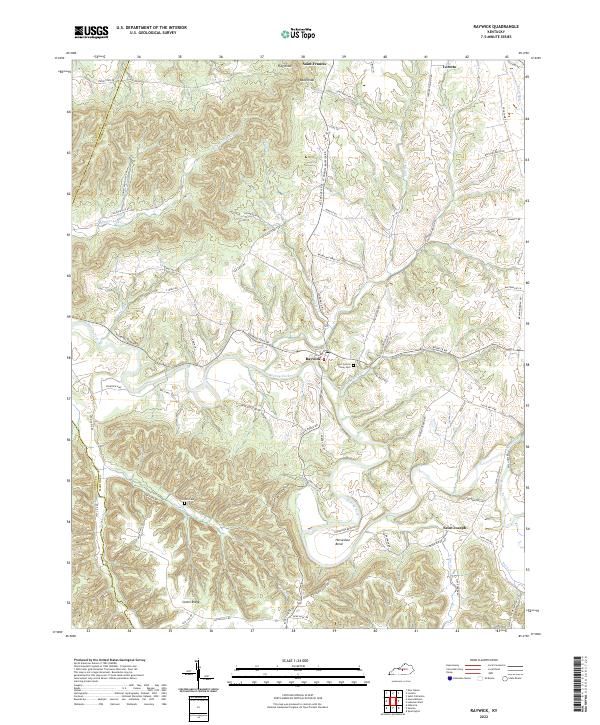 2022 Raywick2022 Print · USGSMarion County's rolling river valleys and ridge-top communities are captured here in the early twenty-first century. Genealogists can trace family landmarks like Saint Francis Xavier Cem and Sutton Cem or follow the waters of the Rolling Fork.
 - 2022 Map of Loretto, 2022 Print
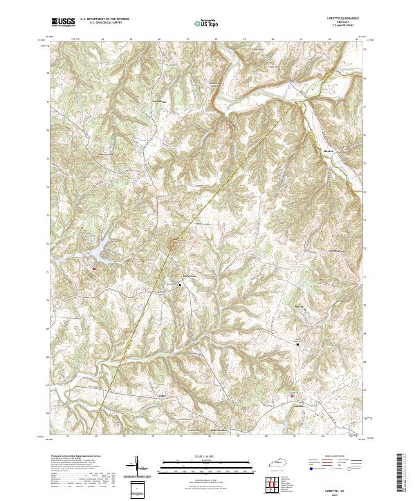 2022 Loretto2022 Print · USGSMarion and Nelson counties remain centered on their rural crossroads and religious heritage in this contemporary survey. Researchers can trace family roots through the Thomas Burying Ground, Holy Cross, and the historic settlement of Nerinx.
End of results
Showing maps 1-21 of 21
Top cities near Loretto
- Bardstown historical maps
- Lebanon historical maps
- Springfield historical maps
- New Haven historical maps
- Raywick historical maps
Frequently asked questions
- What are the different types of historical maps available for Loretto?
- What is the oldest map of Loretto?
- Where can I purchase historical maps of Loretto for my home or office?
- Where can I download high-res historical maps of Loretto?
- Are there historical topographic maps available for Loretto?
- Is there historical aerial imagery available for Loretto?
- Where are historical maps of Loretto sourced from?