Old Maps of Co-Operative, Kentucky for Academic Research
Study the evolution of Co-Operative with 10 high-resolution historic maps. Whether you're teaching, researching, or modeling changes in land use, these maps provide essential visual documentation of urban, environmental, and geographic change.
- Analyze long-term change: Track patterns in development, transportation, and natural features.
- Ideal for environmental or urban studies: Support academic projects with primary historical map data.
- Use in the classroom or lab: Educators and researchers rely on these maps to bring historical context to life.
These maps are a powerful tool for teaching, research, and visualizing how Co-Operative has changed over the decades.
Co-Operative, KY maps
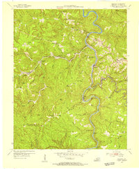
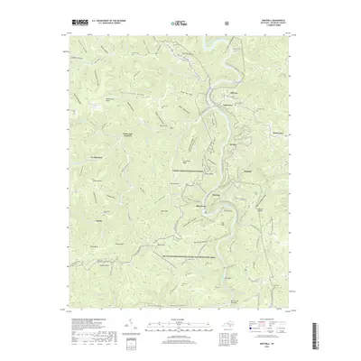
(10)- 1934 Map of Barthell
 1934 Barthell1934 Print · USGSMcCreary County during the late 1920s reveals a landscape of industrial outposts and river-bound settlements at the edge of the Tennessee line. Researchers can trace the Kentucky and Tennessee Railway corridor or find family roots at Kidds Crossing, Cooperative, and Laurel Hill Ch.
 - 1954 Map of Barthell, 1955 Print
 1954 Barthell1955 Print · USGSMcCreary County during the mid-1950s reveals a landscape defined by the winding South Fork of the Cumberland River and a bustling coal rail network. Trace the tracks of the Kentucky and Tennessee RR through company towns like Barthell, Blue Heron, and Worley.3 unique versions available
 - 1956 Map of Corbin, 1966 Print
 1956 Corbin1966 Print · USGSThe Kentucky and Tennessee borderlands are captured here in the mid-fifties, showing the region's shift toward modern interstate travel and reservoir development. Genealogists and historians can trace old community lines near Albany and Monticello or locate early rail junctions along the Southern and Tennessee Central lines.3 unique versions available
 - 1958 Map of Corbin
 1958 Corbin1958 Print · USGSThe Upper Cumberland borderlands appear in the late 1950s as massive reservoirs and early atomic-era growth reshape the region. Trace family roots and vanished landmarks near Lake Cumberland, Oak Ridge, and the Cumberland National Forest.
 - 1981 Map of Corbin, 1984 Print
 1981 Corbin1984 Print · USGSThe Kentucky and Tennessee borderlands in the early eighties were characterized by coal towns and deep mountain ridges. Trace family history or rail routes through Stearns, Williamsburg, and the mining settlements near Jellico Mountain along the L & N RR.
 - 2010 Map of Barthell, 2010 Print
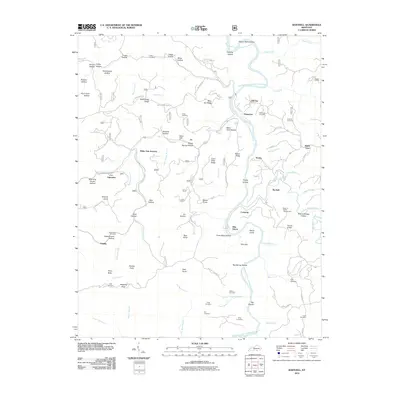 2010 Barthell2010 Print · USGSCovers Co-Operative, including Blue Heron, Barthell, and other nearby areas
 - 2013 Map of Barthell, 2013 Print
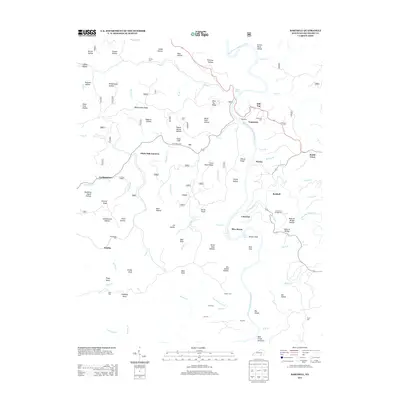 2013 Barthell2013 Print · USGSCovers Co-Operative, including Blue Heron, Barthell, and other nearby areas
 - 2016 Map of Barthell, 2016 Print
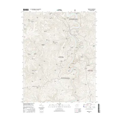 2016 Barthell2016 Print · USGSCovers Co-Operative, including Blue Heron, Barthell, and other nearby areas
 - 2019 Map of Barthell, 2019 Print
 2019 Barthell2019 Print · USGSCovers Co-Operative, including Blue Heron, Barthell, and other nearby areas
 - 2022 Map of Barthell, 2022 Print
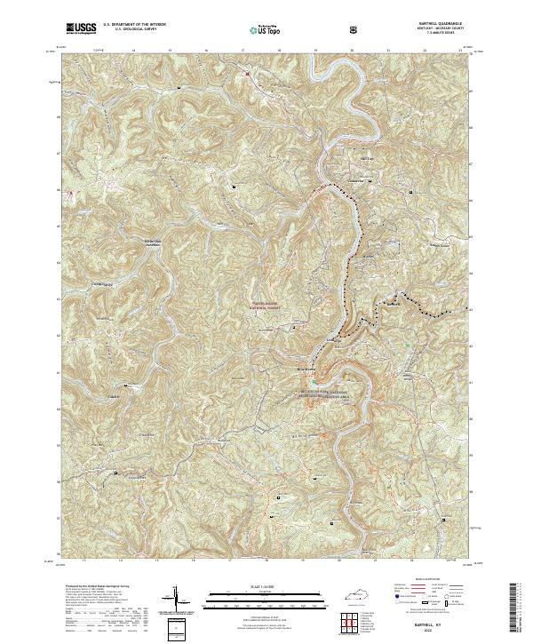 2022 Barthell2022 Print · USGSMcCreary County's coal and rail heritage is etched into the ridges and river bends of the Daniel Boone National Forest in this modern survey. Genealogists and historians can trace old company towns and family burial sites like Barthell, Blue Heron, and Nancy Grave Cem.
End of results
Showing maps 1-10 of 10
Top cities near Co-Operative
Frequently asked questions
- What are the different types of historical maps available for Co-Operative?
- What is the oldest map of Co-Operative?
- Where can I purchase historical maps of Co-Operative for my home or office?
- Where can I download high-res historical maps of Co-Operative?
- Are there historical topographic maps available for Co-Operative?
- Is there historical aerial imagery available for Co-Operative?
- Where are historical maps of Co-Operative sourced from?