2000s (21st Century) Maps of Livermore, Kentucky
Explore 20 historic maps of Livermore from the 2000s (21st Century). These maps offer a rare glimpse into what life looked like during the 2000s — showing old roads, neighborhoods, homes, and landmarks that have changed or disappeared over time.
Whether you're researching your family's past, planning a metal detecting trip, or studying how Livermore's landscape evolved across the 2000s, these high-resolution maps are a powerful tool for exploring the history of this region.
- Focus on a specific era: All maps on this page are from the 2000s, giving you a focused view of this time period.
- See what’s changed: Compare century-old streets, trails, and buildings to today's modern landscape using overlays and satellite layers.
- Research with precision: Use these maps for genealogy, historical research, land use analysis, or educational projects.
- View, download, or print: Maps are fully viewable online in high resolution, and can be downloaded or printed for your own records.
Start exploring Livermore's history through authentic maps from the 2000s. This is your window into the past.
Livermore, KY maps
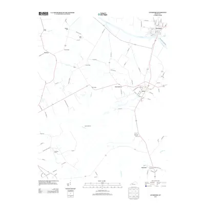
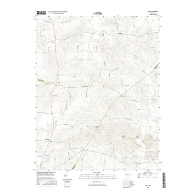
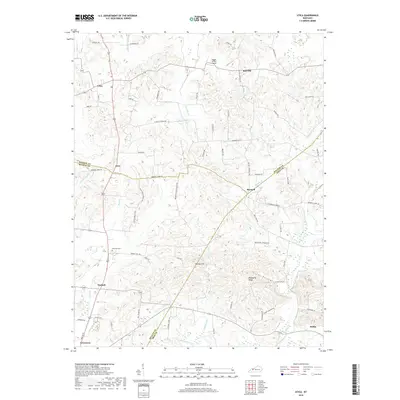
(20)- 2010 Map of Livermore, 2010 Print
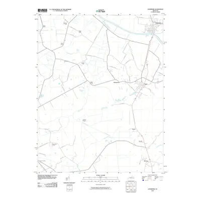 2010 Livermore2010 Print · USGSCovers Livermore, including Island, Stroud, and other nearby areas
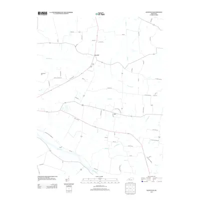
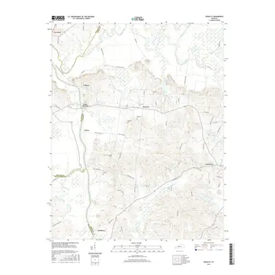
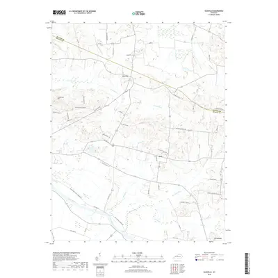
 - 2010 Map of Utica, 2010 Print
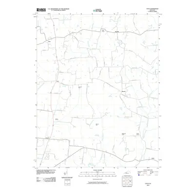 2010 Utica2010 Print · USGSCovers Livermore, including Nuckols, Livia, and other nearby areas
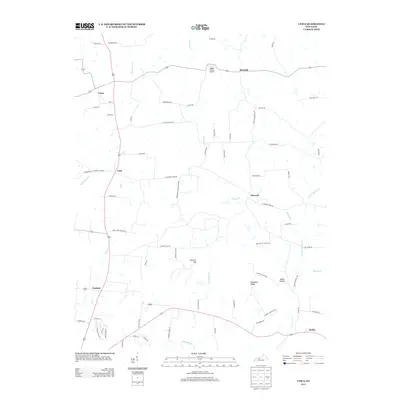
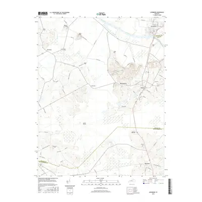
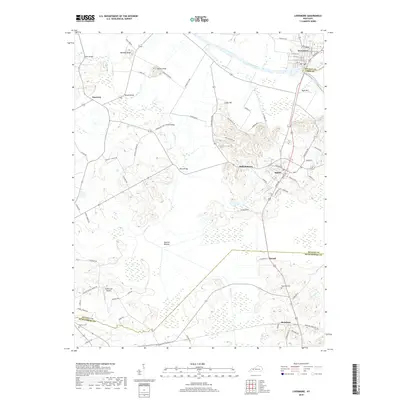
 - 2010 Map of Glenville, 2010 Print
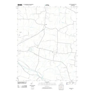 2010 Glenville2010 Print · USGSCovers Livermore, including Buel, Glenville, and other nearby areas
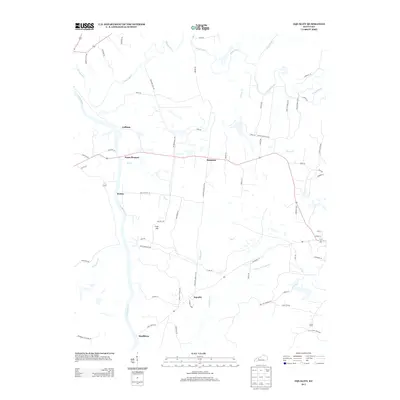
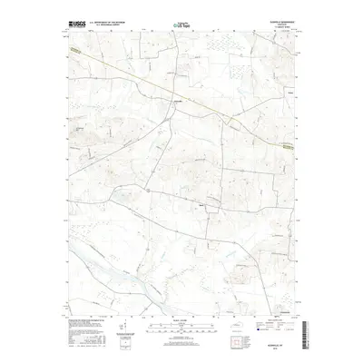
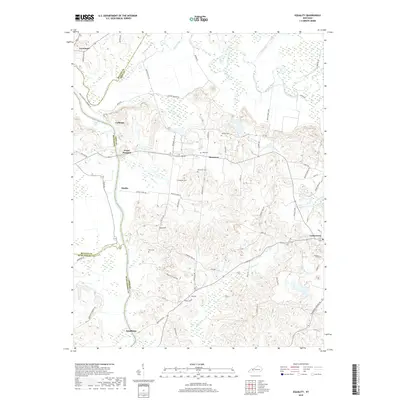
 - 2010 Map of Equality, 2010 Print
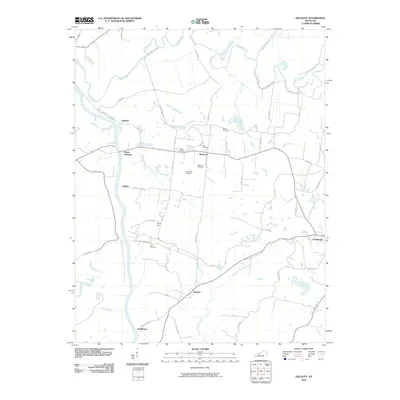 2010 Equality2010 Print · USGSCovers Livermore, including Centertown, Point Pleasant, and other nearby areas
 - 2013 Map of Livermore, 2013 Print
 2013 Livermore2013 Print · USGSCovers Livermore, including Island, Stroud, and other nearby areas
 - 2013 Map of Glenville, 2013 Print
 2013 Glenville2013 Print · USGSCovers Livermore, including Buel, Glenville, and other nearby areas
 - 2013 Map of Utica, 2013 Print
 2013 Utica2013 Print · USGSCovers Livermore, including Nuckols, Livia, and other nearby areas
 - 2013 Map of Equality, 2013 Print
 2013 Equality2013 Print · USGSCovers Livermore, including Centertown, Point Pleasant, and other nearby areas
 - 2016 Map of Utica, 2016 Print
 2016 Utica2016 Print · USGSCovers Livermore, including Nuckols, Livia, and other nearby areas
 - 2016 Map of Livermore, 2016 Print
 2016 Livermore2016 Print · USGSCovers Livermore, including Island, Stroud, and other nearby areas
 - 2016 Map of Glenville, 2016 Print
 2016 Glenville2016 Print · USGSCovers Livermore, including Buel, Glenville, and other nearby areas
 - 2016 Map of Equality, 2016 Print
 2016 Equality2016 Print · USGSCovers Livermore, including Centertown, Point Pleasant, and other nearby areas
 - 2019 Map of Utica, 2019 Print
 2019 Utica2019 Print · USGSCovers Livermore, including Nuckols, Livia, and other nearby areas
 - 2019 Map of Equality, 2019 Print
 2019 Equality2019 Print · USGSCovers Livermore, including Centertown, Point Pleasant, and other nearby areas
 - 2019 Map of Livermore, 2019 Print
 2019 Livermore2019 Print · USGSCovers Livermore, including Island, Stroud, and other nearby areas
 - 2019 Map of Glenville, 2019 Print
 2019 Glenville2019 Print · USGSCovers Livermore, including Buel, Glenville, and other nearby areas
 - 2022 Map of Glenville, 2022 Print
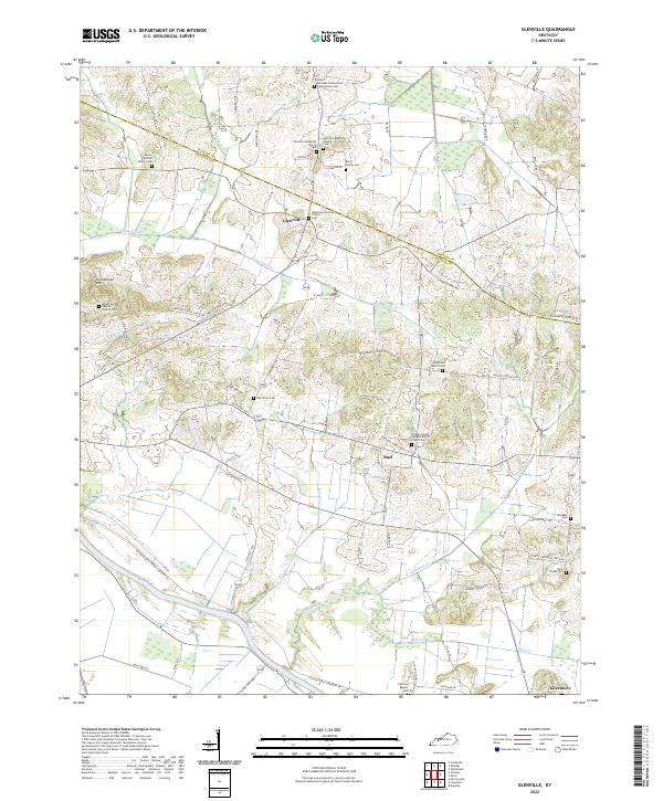 2022 Glenville2022 Print · USGSWestern Kentucky's riverfront and ridge country are documented here in the early 2020s, centered on the Glenville community. Genealogists can locate family landmarks like the Leet - Wilhite Family Cem and Oak Grove Cem near the Green River.
 - 2022 Map of Livermore, 2022 Print
 2022 Livermore2022 Print · USGSMcLean County's river valleys and upland cemeteries come into focus during this modern survey of the Western Kentucky Coal Field region. Trace family history at Saint Charles Catholic Church Cemetery or explore the landscape around Island and Livermore.
 - 2022 Map of Utica, 2022 Print
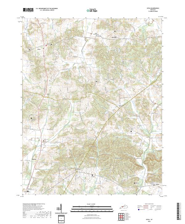 2022 Utica2022 Print · USGSWestern Kentucky country life is well-documented here as the modern era meets a landscape shaped by the Rough River and Buck Cr. Genealogists can trace deep local roots through family-named sites like Underwood Family Cem and the Rowan Family Cem.
 - 2022 Map of Equality, 2022 Print
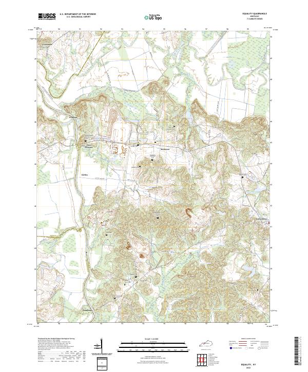 2022 Equality2022 Print · USGSThe river-driven landscape of Ohio and McLean counties is captured here in the early 2020s, centered on the confluence of the Green River and Rough River. Researchers can trace dozens of family burial sites including the Patterson Ingleheart Cem and Nellie Davis Cem.
End of results
Showing maps 1-20 of 20
Top cities near Livermore
- Owensboro historical maps
- Central City historical maps
- Hartford historical maps
- Calhoun historical maps
- Sacramento historical maps
- McHenry historical maps
See more
Frequently asked questions
- What are the different types of historical maps available for Livermore?
- What is the oldest map of Livermore?
- Where can I purchase historical maps of Livermore for my home or office?
- Where can I download high-res historical maps of Livermore?
- Are there historical topographic maps available for Livermore?
- Is there historical aerial imagery available for Livermore?
- Where are historical maps of Livermore sourced from?