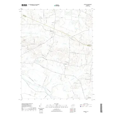
2019 Map of Glenville
USGS Topo · Published 2019About this map
The Green River winds along the southwestern boundary of this McLean County landscape, where the confluence with Buck Creek marks a distinct transition into the rural lowlands. To the north, Glenville serves as a central point along the historic road network, while the small settlement of Buel anchors the central region. The terrain is defined by a dense system of waterways including Long Falls Cr and Hanley Cr, which drain the undulating hills near Grindstone Hill.
Find a feature on this map
52 named features on this map. Tap any name to fly to it.
Don’t see what you’re looking for? This feature index may not catch every label — zoom into the map to look around manually.
Map Details
Editions of this 2019 Glenville Map
This is the sole edition of this map. No revisions or reprints were ever made.
Other maps of this area
1906 · Sutherland
USGS Topo · 1:62,500
1908 · Calhoun
USGS Topo · 1:62,500
1909 · Madisonville
USGS Topo · 1:62,500
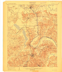
1909 · Central City
USGS Topo · 1:62,500
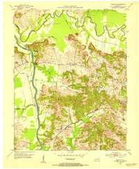
1952 · Equality
USGS Topo · 1:24,000
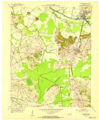
1952 · Livermore
USGS Topo · 1:24,000
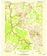
1952 · Sacramento
USGS Topo · 1:24,000
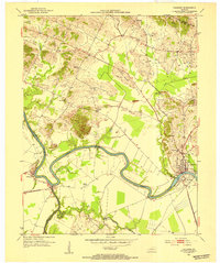
1952 · Calhoun
USGS Topo · 1:24,000
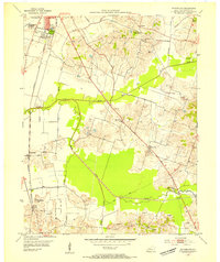
1953 · Sutherland
USGS Topo · 1:24,000
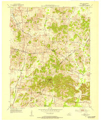
1953 · Utica
USGS Topo · 1:24,000