
1952 Map of Livermore
USGS Topo · Published 1953About this map
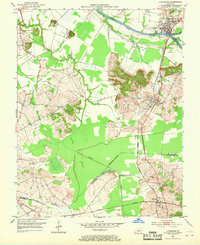
Green River and Rough River converge at Livermore, a vital riverfront hub in McLean County during the early 1950s. The landscape is defined by the broad Cypress Bottom and significant topographical rises like Boehler Knob and Bates Knob. The Louisville and Nashville railroad runs north-south through the region, connecting the riverside community of Livermore with the settlements of Island and Moorman to the south. Numerous Oil Wells are scattered across the terrain, indicating the era's active extractive industry. Local history is deeply embedded in the rural infrastructure, from the many river crossings like Vicker Bridge and Stroud Bridge to the small community anchors of New Cypress Ch and Worthington Chapel. The map documents the intricate boundary lines where McLean, Muhlenberg, and Ohio Counties meet near the waters of Black Lake.
Find a feature on this map
29 named features on this map. Tap any name to fly to it.
Don’t see what you’re looking for? This feature index may not catch every label — zoom into the map to look around manually.
Map Details
Editions of this 1952 Livermore Map
3 editions found
Other maps of this area

1906 · Sutherland
USGS Topo · 1:62,500

1908 · Calhoun
USGS Topo · 1:62,500

1909 · Madisonville
USGS Topo · 1:62,500

1909 · Central City
USGS Topo · 1:62,500

1952 · Equality
USGS Topo · 1:24,000

1952 · Sacramento
USGS Topo · 1:24,000

1952 · Calhoun
USGS Topo · 1:24,000

1953 · Central City West
USGS Topo · 1:24,000

1953 · Central City East
USGS Topo · 1:24,000

1953 · Utica
USGS Topo · 1:24,000