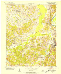
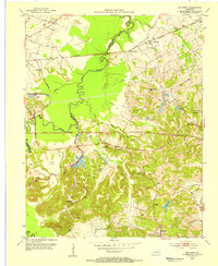
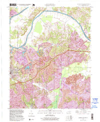
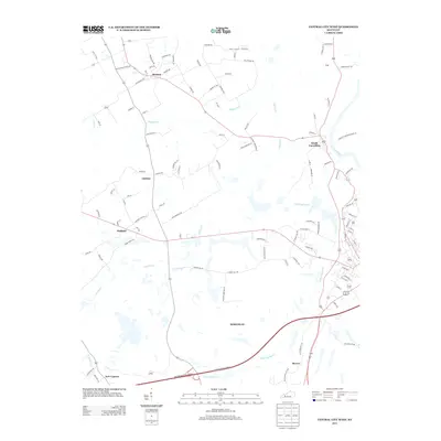
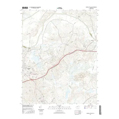
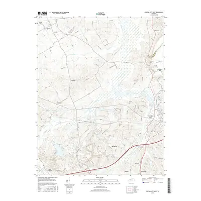
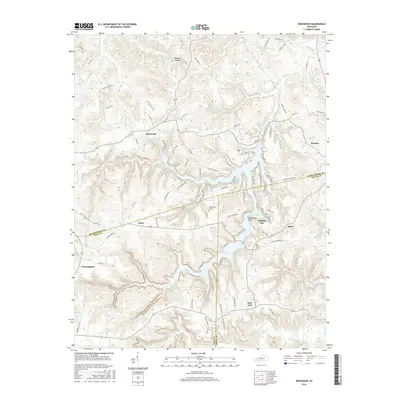
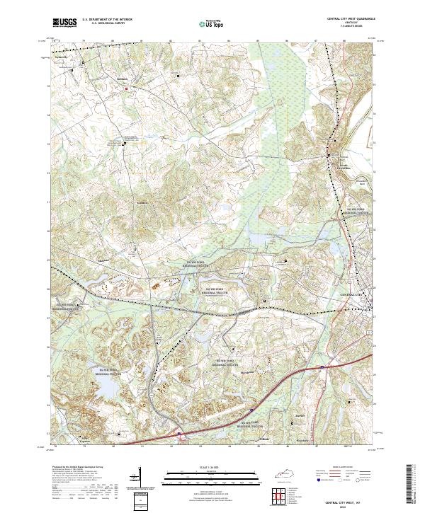
1953 Map of Central City West
USGS Topo · Published 1954About this map
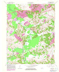
The Green River forms the eastern boundary of this early 1950s terrain, where the Louisville and Nashville and Illinois Central railroads converge near Central City. This area is defined by its transition from traditional farming communities to an industrializing coal landscape, evidenced by the appearing Strip Mine operations south of Little Cypress Creek. The map documents a dense network of local landmarks essential for family history, including Shavers Chapel, Bethlehem Ch, and several small rural schools like Cherry Hill Sch. In the north, Bremen sits at the junction of local thoroughfares, while the Mogg (Green River Sta) reflects the vital connection between rail transport and the river economy during this postwar era.
Find a feature on this map
37 named features on this map. Tap any name to fly to it.
Don’t see what you’re looking for? This feature index may not catch every label — zoom into the map to look around manually.
Map Details
Editions of this 1953 Central City West Map
This is the sole edition of this map. No revisions or reprints were ever made.
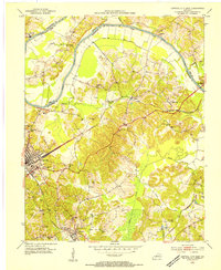
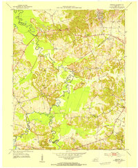
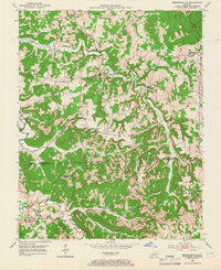
Historical Maps of Central City Through Time
44 maps found
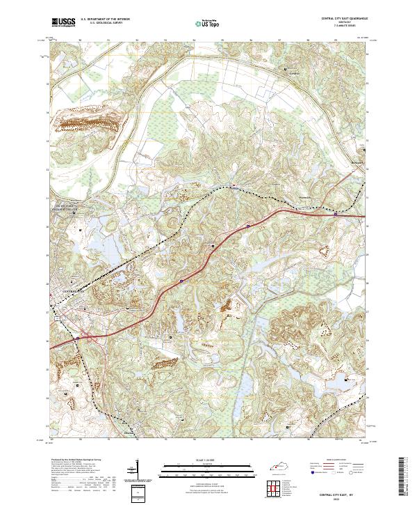
1953 Central City East
Muhlenberg County, KY
1953 Central City West
Muhlenberg County, KY
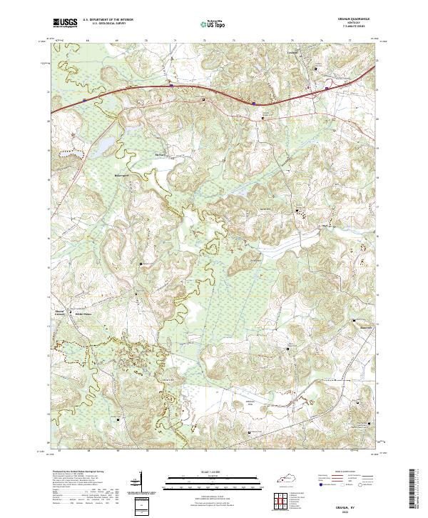
1953 Graham
Muhlenberg County, KY
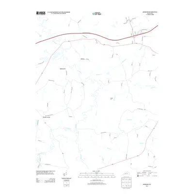
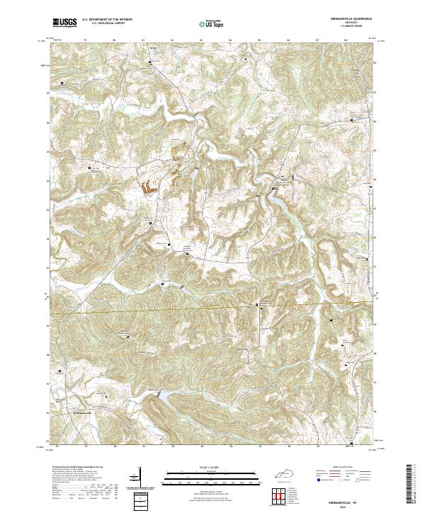
1953 Kirkmansville
Muhlenberg County, KY
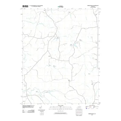
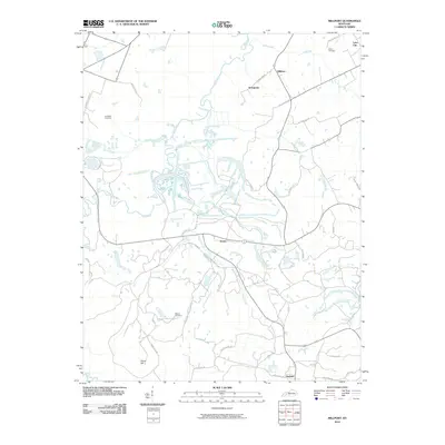
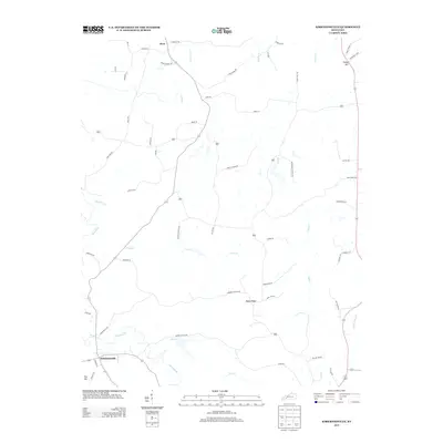
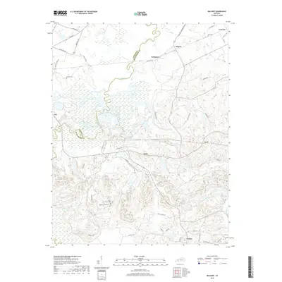
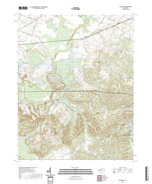
1953 Millport
Muhlenberg County, KY
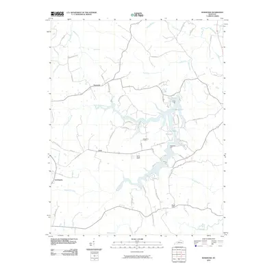
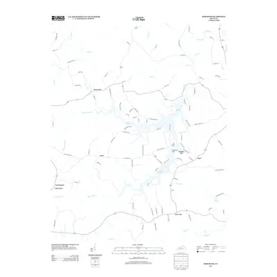
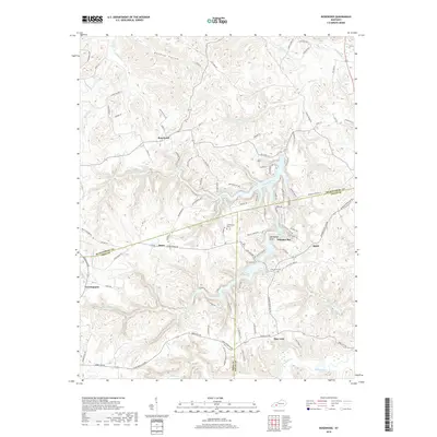
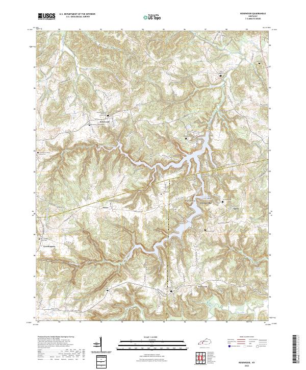
1953 Rosewood
Muhlenberg County, KY
1963 Central City East
Muhlenberg County, KY
1963 Central City West
Muhlenberg County, KY
1963 Graham
Muhlenberg County, KY
1963 Millport
Muhlenberg County, KY
1972 Kirkmansville
Muhlenberg County, KY
1972 Rosewood
Muhlenberg County, KY
1997 Central City East
Muhlenberg County, KY
1997 Central City West
Muhlenberg County, KY

2010 Central City East
Muhlenberg County, KY
2010 Central City West
Muhlenberg County, KY
2010 Graham
Muhlenberg County, KY
2010 Kirkmansville
Muhlenberg County, KY
2010 Millport
Muhlenberg County, KY
2010 Rosewood
Muhlenberg County, KY

2013 Central City East
Muhlenberg County, KY
2013 Central City West
Muhlenberg County, KY
2013 Graham
Muhlenberg County, KY
2013 Kirkmansville
Muhlenberg County, KY

2013 Millport
Muhlenberg County, KY
2013 Rosewood
Muhlenberg County, KY
2016 Central City East
Muhlenberg County, KY
2016 Central City West
Muhlenberg County, KY
2016 Graham
Muhlenberg County, KY
2016 Kirkmansville
Muhlenberg County, KY
2016 Millport
Muhlenberg County, KY
2016 Rosewood
Muhlenberg County, KY

2019 Central City East
Muhlenberg County, KY
2019 Central City West
Muhlenberg County, KY
2019 Graham
Muhlenberg County, KY
2019 Kirkmansville
Muhlenberg County, KY
2019 Millport
Muhlenberg County, KY
2019 Rosewood
Muhlenberg County, KY
2022 Central City East
Muhlenberg County, KY
2022 Central City West
Muhlenberg County, KY
2022 Graham
Muhlenberg County, KY
2022 Kirkmansville
Muhlenberg County, KY
2022 Millport
Muhlenberg County, KY
2022 Rosewood
Muhlenberg County, KY