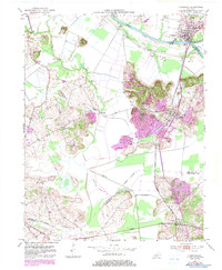
1952 Map of Livermore
USGS Topo · Published 1983About this map
The confluence of the Green River and Rough River anchors this landscape, where the town of Livermore sits at the strategic junction of these waterways. By the mid-20th century, the region's economy was defined by a mix of river transport, rail lines like the Louisville and Nashville, and growing energy extraction, evidenced by the numerous Oil Wells peppered throughout the terrain. The map captures a transition toward modern infrastructure with updated road alignments while preserving older rural landmarks such as Worthington Chapel and Station Ch.
Find a feature on this map
27 named features on this map. Tap any name to fly to it.
Don’t see what you’re looking for? This feature index may not catch every label — zoom into the map to look around manually.
Map Details
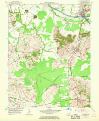
Editions of this 1952 Livermore Map
3 editions found
Other maps of this area

1906 · Sutherland
USGS Topo · 1:62,500

1908 · Calhoun
USGS Topo · 1:62,500

1909 · Madisonville
USGS Topo · 1:62,500

1909 · Central City
USGS Topo · 1:62,500

1952 · Equality
USGS Topo · 1:24,000

1952 · Livermore
USGS Topo · 1:24,000

1952 · Sacramento
USGS Topo · 1:24,000

1952 · Calhoun
USGS Topo · 1:24,000

1953 · Central City West
USGS Topo · 1:24,000

1953 · Central City East
USGS Topo · 1:24,000