2000s (21st Century) Maps of Brandenburg, Kentucky
Explore 10 historic maps of Brandenburg from the 2000s (21st Century). These maps offer a rare glimpse into what life looked like during the 2000s — showing old roads, neighborhoods, homes, and landmarks that have changed or disappeared over time.
Whether you're researching your family's past, planning a metal detecting trip, or studying how Brandenburg's landscape evolved across the 2000s, these high-resolution maps are a powerful tool for exploring the history of this region.
- Focus on a specific era: All maps on this page are from the 2000s, giving you a focused view of this time period.
- See what’s changed: Compare century-old streets, trails, and buildings to today's modern landscape using overlays and satellite layers.
- Research with precision: Use these maps for genealogy, historical research, land use analysis, or educational projects.
- View, download, or print: Maps are fully viewable online in high resolution, and can be downloaded or printed for your own records.
Start exploring Brandenburg's history through authentic maps from the 2000s. This is your window into the past.
Brandenburg, KY maps
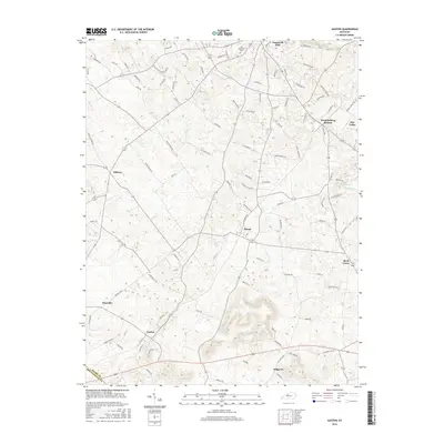
(10)- 2010 Map of Guston, 2010 Print
 2010 Guston2010 Print · USGSCovers Brandenburg, including Ekron, Guston, and other nearby areas
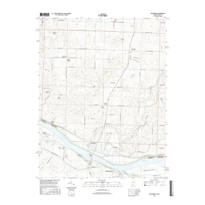
 - 2010 Map of Mauckport, 2010 Print
 2010 Mauckport2010 Print · USGSCovers Brandenburg, including Mauckport, Morvins Landing, and other nearby areas
 - 2013 Map of Guston, 2013 Print
 2013 Guston2013 Print · USGSCovers Brandenburg, including Ekron, Guston, and other nearby areas
 - 2013 Map of Mauckport, 2013 Print
 2013 Mauckport2013 Print · USGSCovers Brandenburg, including Mauckport, Morvins Landing, and other nearby areas
 - 2016 Map of Guston, 2016 Print
 2016 Guston2016 Print · USGSCovers Brandenburg, including Ekron, Guston, and other nearby areas
 - 2016 Map of Mauckport, 2016 Print
 2016 Mauckport2016 Print · USGSCovers Brandenburg, including Mauckport, Morvins Landing, and other nearby areas
 - 2019 Map of Guston, 2019 Print
 2019 Guston2019 Print · USGSCovers Brandenburg, including Ekron, Guston, and other nearby areas
 - 2019 Map of Mauckport, 2019 Print
 2019 Mauckport2019 Print · USGSCovers Brandenburg, including Mauckport, Morvins Landing, and other nearby areas
 - 2022 Map of Mauckport, 2022 Print
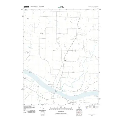
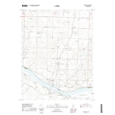
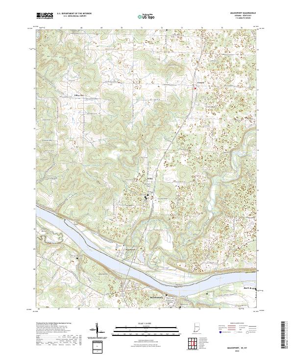 2022 Mauckport2022 Print · USGSThe Indiana-Kentucky borderlands along the Ohio River are shown here as they appeared in the early 2020s. Researchers can trace local lineage through sites like Old Mauckport Cemetery or locate the Meade County Courthouse in Brandenburg.
 - 2022 Map of Guston, 2022 Print
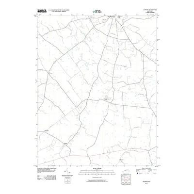
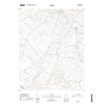
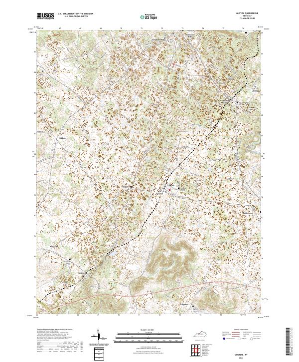 2022 Guston2022 Print · USGSMeade County, Kentucky, maintains its traditional character through a network of rural hamlets and historic church communities. Genealogists can trace family lines across several burial grounds, including the Anderson and Cundiff Family Cem and Hill Grove Baptist Church Cem.
End of results
Showing maps 1-10 of 10
Top cities near Brandenburg
- Radcliff historical maps
- Vine Grove historical maps
- Corydon historical maps
- Irvington historical maps
- Leavenworth historical maps
- Ekron historical maps
See more
Top neighborhoods of Brandenburg
Frequently asked questions
- What are the different types of historical maps available for Brandenburg?
- What is the oldest map of Brandenburg?
- Where can I purchase historical maps of Brandenburg for my home or office?
- Where can I download high-res historical maps of Brandenburg?
- Are there historical topographic maps available for Brandenburg?
- Is there historical aerial imagery available for Brandenburg?
- Where are historical maps of Brandenburg sourced from?