2020s Maps of Maples Corner, Kentucky
Explore 1 historic maps of Maples Corner from the 2020s. These maps offer a rare glimpse into what life looked like during the 2020s — showing old roads, neighborhoods, homes, and landmarks that have changed or disappeared over time.
Whether you're researching your family's past, planning a metal detecting trip, or studying how Maples Corner's landscape evolved across the 2020s, these high-resolution maps are a powerful tool for exploring the history of this region.
- Focus on a specific era: All maps on this page are from the 2020s, giving you a focused view of this time period.
- See what’s changed: Compare century-old streets, trails, and buildings to today's modern landscape using overlays and satellite layers.
- Research with precision: Use these maps for genealogy, historical research, land use analysis, or educational projects.
- View, download, or print: Maps are fully viewable online in high resolution, and can be downloaded or printed for your own records.
Start exploring Maples Corner's history through authentic maps from the 2020s. This is your window into the past.
Maples Corner, KY maps
(1)- 2022 Map of Big Spring, 2022 Print
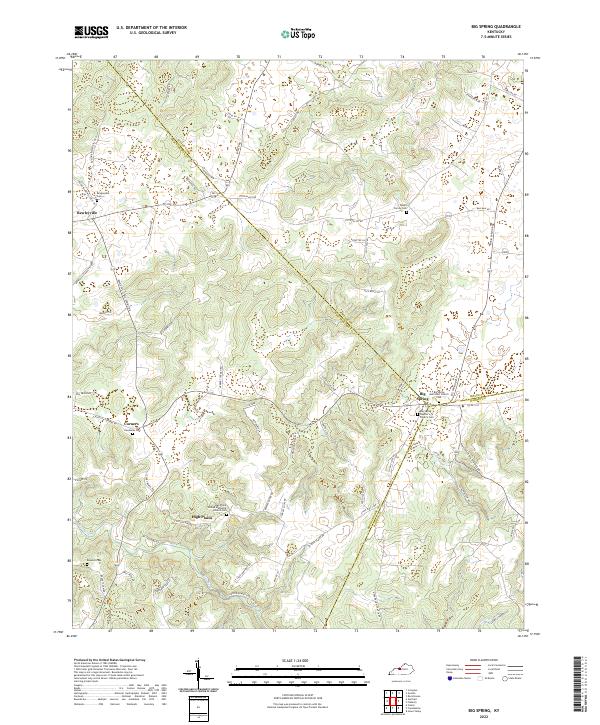 2022 Big Spring2022 Print · USGSBreckinridge County and its neighbors meet at the rural crossroads of Big Spring in this recent study of the Kentucky landscape. Genealogists can trace family footprints through numerous local sites including Bewleyville Cem, Hardaway Cem, and High Plains.
End of results
Showing maps 1-1 of 1
Top cities near Maples Corner
- Louisville historical maps
- Elizabethtown historical maps
- Radcliff historical maps
- Vine Grove historical maps
- Rineyville historical maps
- Brandenburg historical maps
See more
Frequently asked questions
- What are the different types of historical maps available for Maples Corner?
- What is the oldest map of Maples Corner?
- Where can I purchase historical maps of Maples Corner for my home or office?
- Where can I download high-res historical maps of Maples Corner?
- Are there historical topographic maps available for Maples Corner?
- Is there historical aerial imagery available for Maples Corner?
- Where are historical maps of Maples Corner sourced from?