Old Maps of Midway, Kentucky for Academic Research
Study the evolution of Midway with 15 high-resolution historic maps. Whether you're teaching, researching, or modeling changes in land use, these maps provide essential visual documentation of urban, environmental, and geographic change.
- Analyze long-term change: Track patterns in development, transportation, and natural features.
- Ideal for environmental or urban studies: Support academic projects with primary historical map data.
- Use in the classroom or lab: Educators and researchers rely on these maps to bring historical context to life.
These maps are a powerful tool for teaching, research, and visualizing how Midway has changed over the decades.
Midway, KY maps
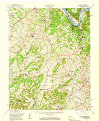
(15)- 1941 Map of Ekron
 1941 Ekron1941 Print · USGSNorthern Kentucky and the Ohio River shoreline are captured here in the early 1940s, showing the rural communities of Meade and Hardin Counties. Genealogists can trace family locations near Ekron, Shumate School, and the historic Sherman Landing.
 - 1947 Map of Ekron, 1959 Print
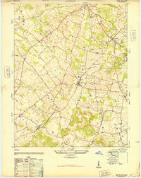
 1947 Ekron1959 Print · USGSMeade County and the riverfronts of the Ohio Valley come alive in this late 1940s survey. Genealogists and historians can trace the foundations of Garnettsville, locate rural landmarks like Doe Run Mill, or search for family connections at Cedar Farm Cem and St Martins Sch.
 - 1948 Map of Guston
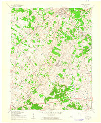
 1948 Guston1948 Print · USGSMeade County's rural heartland is captured here just after the war, showing the railroad-centered life of the late 1940s. Genealogists can trace family footprints at the Meade County Farm, Smith School, and Salem Church Cemetery.
 - 1954 Map of Evansville
 1954 Evansville1954 Print · USGSThe Ohio River borderlands between Indiana and Kentucky appear here during a period of robust industrial and military growth. Genealogists and researchers can trace the rail corridors of the Illinois Central and find landmarks like US Lock and Dam No 48 or Camp Breckinridge.
 - 1957 Map of Evansville, 1969 Print
 1957 Evansville1969 Print · USGSIndiana and Kentucky meet along the Ohio River in this mid-century survey of a vital industrial and transport corridor. Genealogists and historians can trace the development of river towns like Owensboro and Newburgh or locate old rail lines like the Southern Ry.3 unique versions available
 - 1961 Map of Evansville
 1961 Evansville1961 Print · USGSThe Ohio River valley and its surrounding coalfields are captured here during the late fifties and early sixties. Trace the industrial rail networks of the Illinois Central RR and explore regional landmarks like Mammoth Cave National Park and Angel Mounds State Memorial.2 unique versions available
 - 1961 Map of Guston, 1962 Print
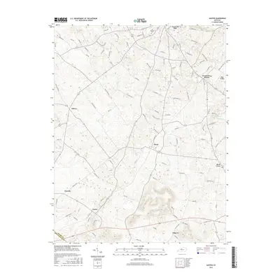
 1961 Guston1962 Print · USGSMeade County during the early sixties shows a landscape of rural communities and karst topography just south of the Ohio River. Researchers can trace the legacy of local life through landmarks like Brandenburg Station, the County Fairground, and New Highland Ch.2 unique versions available
 - 1986 Map of Tell City
 1986 Tell City1986 Print · USGSThe Ohio River valley and the Kentucky interior come alive in this mid-eighties record of industry and recreation. Genealogists and historians can trace small rural settlements like Victoria Crossroads, local landmarks such as St Rose, and the extensive shoreline of Rough River Lake.
 - 1991 Map of Tell City
 1991 Tell City1991 Print · USGSThe Ohio River valley at the start of the nineties reveals a landscape of riverfront industry and sprawling conservation lands. Genealogists can locate family landmarks like Wesley Chapel and rural communities such as Reynolds Station and Maceo.
 - 1991 Map of Guston, 1992 Print
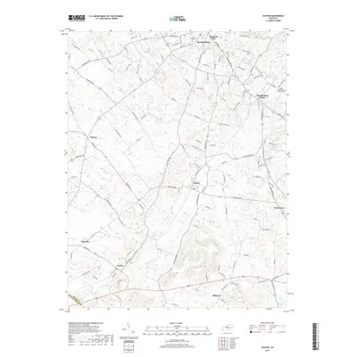
 1991 Guston1992 Print · USGSMeade County at the start of the nineties reveals a landscape of plateau settlements and rural crossroads. Local historians can trace family roots at Cap Anderson Cem or explore the community centers at Ekron, Guston, and Weldon Ch.
 - 2010 Map of Guston, 2010 Print
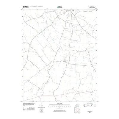 2010 Guston2010 Print · USGSCovers Midway, including Brandenburg, Ekron, and other nearby areas
 - 2013 Map of Guston, 2013 Print
 2013 Guston2013 Print · USGSCovers Midway, including Brandenburg, Ekron, and other nearby areas
 - 2016 Map of Guston, 2016 Print
 2016 Guston2016 Print · USGSCovers Midway, including Brandenburg, Ekron, and other nearby areas
 - 2019 Map of Guston, 2019 Print
 2019 Guston2019 Print · USGSCovers Midway, including Brandenburg, Ekron, and other nearby areas
 - 2022 Map of Guston, 2022 Print
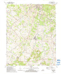
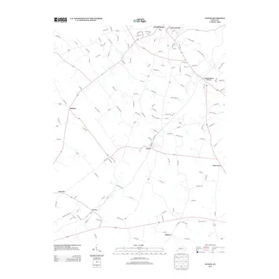
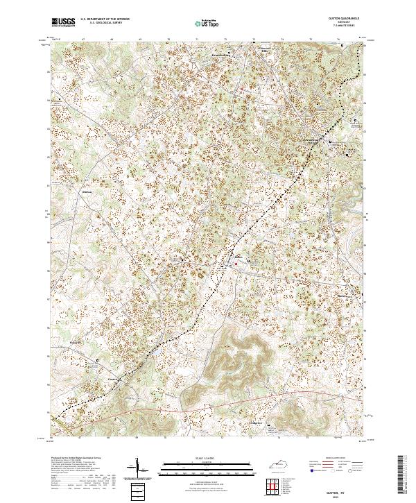 2022 Guston2022 Print · USGSMeade County, Kentucky, maintains its traditional character through a network of rural hamlets and historic church communities. Genealogists can trace family lines across several burial grounds, including the Anderson and Cundiff Family Cem and Hill Grove Baptist Church Cem.
End of results
Showing maps 1-15 of 15
Top cities near Midway
- Hardinsburg historical maps
- Brandenburg historical maps
- Irvington historical maps
- Ekron historical maps
- New Middletown historical maps
- Mauckport historical maps
See more
Frequently asked questions
- What are the different types of historical maps available for Midway?
- What is the oldest map of Midway?
- Where can I purchase historical maps of Midway for my home or office?
- Where can I download high-res historical maps of Midway?
- Are there historical topographic maps available for Midway?
- Is there historical aerial imagery available for Midway?
- Where are historical maps of Midway sourced from?