Old Maps of Skilesville, Kentucky
Explore 12 old maps of Skilesville, spanning from 1911 to today. These high-resolution historic maps reveal how streets, neighborhoods, landmarks, and natural features evolved over time — perfect for genealogy, metal detecting, research, and local history exploration.
What you can do with these maps:
- See how Skilesville changed over time: Compare historical maps to modern-day views to trace roads, homesites, rail lines & more.
- View detailed metadata: Each map includes creators, publishers, year, scale, and archive source.
- Overlay maps with satellite & LiDAR: Visualize the past alongside modern tools to explore terrain & human change.
- Trusted historical sources: Maps sourced from the USGS, Library of Congress, and other archives.
- Access maps your way: View online, download high-res files, or order prints for personal or research use.
Start exploring old maps of Skilesville to uncover forgotten places, hidden landmarks, and the deep history beneath your feet.
Skilesville, KY maps
(12)- 1911 Map of Dunmor
 1911 Dunmor1911 Print · USGSMuhlenberg and Butler Counties are shown here just before the Great War, when river ferries and small rural schools anchored local life. Genealogists can trace family footprints at Mining City, Ebenezer Church, and the river landings near Skilesville.
 - 1914 Map of Dunmor
 1914 Dunmor1914 Print · USGSWestern Kentucky in the early twentieth century is defined by the river-borne trade of the Green River and the rural industry of the Mud River Mine. Genealogists and historians can trace defunct post offices like Boston Herschel PO and family-named crossings including Arnolds Bridge and Doolins Ferry.
 - 1953 Map of Rochester, 1954 Print
 1953 Rochester1954 Print · USGSThe Green River valley in the early fifties shows a bustling network of river towns and rural school districts at the junction of three counties. Researchers can trace family sites near Rochester, find old schoolhouses like Mud River Mine Sch, or locate the Lock No 3 river works.2 unique versions available
 - 1954 Map of Evansville
 1954 Evansville1954 Print · USGSThe Ohio River borderlands between Indiana and Kentucky appear here during a period of robust industrial and military growth. Genealogists and researchers can trace the rail corridors of the Illinois Central and find landmarks like US Lock and Dam No 48 or Camp Breckinridge.
 - 1957 Map of Evansville, 1969 Print
 1957 Evansville1969 Print · USGSIndiana and Kentucky meet along the Ohio River in this mid-century survey of a vital industrial and transport corridor. Genealogists and historians can trace the development of river towns like Owensboro and Newburgh or locate old rail lines like the Southern Ry.3 unique versions available
 - 1961 Map of Evansville
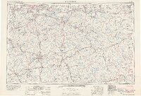 1961 Evansville1961 Print · USGSThe Ohio River valley and its surrounding coalfields are captured here during the late fifties and early sixties. Trace the industrial rail networks of the Illinois Central RR and explore regional landmarks like Mammoth Cave National Park and Angel Mounds State Memorial.2 unique versions available
 - 1981 Map of Beaver Dam, 1984 Print
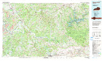 1981 Beaver Dam1984 Print · USGSThe Western Kentucky coal and river country comes into focus in the early 1980s as industry and recreation reshape the land. Researchers can trace family roots and old routes through Morgantown, Beaver Dam, and the early footprints of Mammoth Cave National Park.
 - 2010 Map of Rochester, 2010 Print
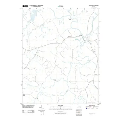 2010 Rochester2010 Print · USGSCovers Skilesville, including Rochester, Knightsburg, and other nearby areas
 - 2013 Map of Rochester, 2013 Print
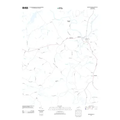 2013 Rochester2013 Print · USGSCovers Skilesville, including Rochester, Knightsburg, and other nearby areas
 - 2016 Map of Rochester, 2016 Print
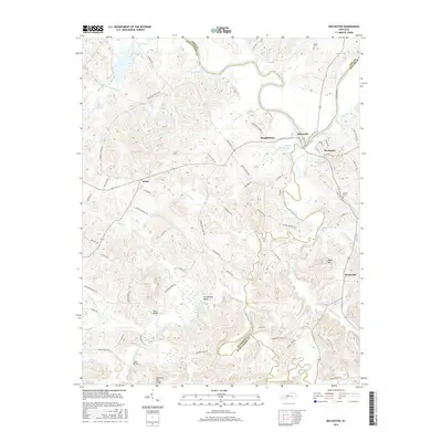 2016 Rochester2016 Print · USGSCovers Skilesville, including Rochester, Knightsburg, and other nearby areas
 - 2019 Map of Rochester, 2019 Print
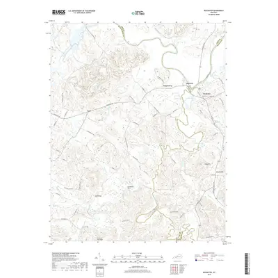 2019 Rochester2019 Print · USGSCovers Skilesville, including Rochester, Knightsburg, and other nearby areas
 - 2022 Map of Rochester, 2022 Print
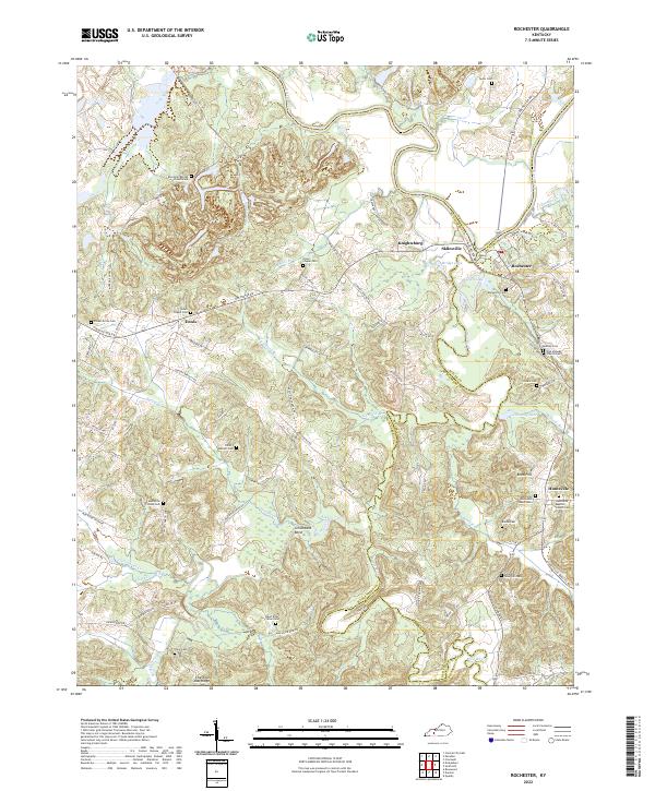 2022 Rochester2022 Print · USGSThe confluence of the Green and Mud Rivers near the Butler and Muhlenberg county lines is shown here in the early 2020s. Genealogists can trace numerous family burial sites, including Mud River Mine Cem, Greenhill-Tater Hill Cem, and Midway Cem.
End of results
Showing maps 1-12 of 12
Top cities near Skilesville
- Central City historical maps
- Beaver Dam historical maps
- Hartford historical maps
- Morgantown historical maps
- Lewisburg historical maps
- Drakesboro historical maps
See more
Frequently asked questions
- What are the different types of historical maps available for Skilesville?
- What is the oldest map of Skilesville?
- Where can I purchase historical maps of Skilesville for my home or office?
- Where can I download high-res historical maps of Skilesville?
- Are there historical topographic maps available for Skilesville?
- Is there historical aerial imagery available for Skilesville?
- Where are historical maps of Skilesville sourced from?