Old Maps of River Bluff, Kentucky for Metal Detecting
Plan your next treasure hunt with 24 historic maps of River Bluff. Find old homesites, ghost towns, trails, and gathering spots that may be lost to time — perfect for identifying promising metal detecting locations.
- Locate forgotten sites: Uncover places like long-lost settlements, abandoned rail lines, or gathering spots.
- Plan better hunts: Use map overlays combined with LiDAR or satellite views to narrow in on historically rich areas.
- Made for detectorists: Thousands of hobbyists use these maps to discover relics, coins, and hidden history.
Use these historic maps to boost your research and find new opportunities beneath the surface of River Bluff.
River Bluff, KY maps
(24)- 1905 Map of Prospect, 1962 Print
 1905 Prospect1962 Print · USGSThe Ohio River corridor north of Louisville comes alive in the early 1900s, showing a landscape of river landings and new electric railways. Researchers can find old landmarks like the Lakeland Asylum, the Kentucky Military Institute, and the Antioch Church.
 - 1912 Map of Prospect
 1912 Prospect1912 Print · USGSThe northeastern outskirts of Louisville and the riverbanks of the Ohio River appear here in the early twentieth century. Researchers can trace the development of suburban settlements like Anchorage and St Matthews or locate the sprawling grounds of the Lakeland Asylum.3 unique versions available
 - 1938 Map of Owen
 1938 Owen1938 Print · USGSThe Indiana riverfront near Charlestown in the late thirties is defined by active river landings and the sprawling Clark Military Grant. Genealogists can trace family footprints through community sites like Salem Ch, Rose Island, and the Golden Valley Sch.
 - 1948 Map of Owen
 1948 Owen1948 Print · USGSThe Indiana shoreline of the Ohio River is captured here in the late thirties, just as the local landscape was beginning to shift for the war effort. Genealogists can locate family-named landmarks and institutions like Runyantown, Beech Grove Sch, and Rose Island Park.2 unique versions available
 - 1951 Map of Anchorage
 1951 Anchorage1951 Print · USGSJefferson and Oldham Counties appear here in the early fifties, showing a landscape defined by institutional campuses and rail-centered towns. Genealogists and historians can trace Ormsby Village, Berrytown, and the Kentucky Military Institute along the Louisville and Nashville Railroad.
 - 1954 Map of Owen, 1956 Print
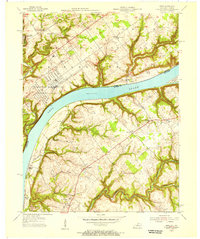 1954 Owen1956 Print · USGSThe Ohio River corridor comes alive in the mid-1950s, bridging the gap between Indiana military sites and Kentucky ridge-top communities. Researchers can locate family landmarks such as Salem Cem, the Tunnel Mill Scout Camp, and Liberty Sch.
 - 1955 Map of Anchorage, 1956 Print
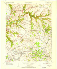 1955 Anchorage1956 Print · USGSEastern Jefferson County and the edge of Oldham County appear in the mid-fifties as a region of institutional campuses and established towns. Genealogists can trace family roots through Anchorage, Lyndon, and Griffytown, or locate landmarks like Central State Hospital and St Thomas Seminary.
 - 1956 Map of Louisville, 1971 Print
 1956 Louisville1971 Print · USGSThe Ohio River valley and the Kentucky Bluegrass are captured here during a period of rapid mid-century growth and industrial activity. Genealogists and historians can trace rail-centered towns and military land use at Fort Knox and the Jefferson Proving Ground.2 unique versions available
 - 1960 Map of Anchorage, 1961 Print
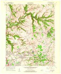 1960 Anchorage1961 Print · USGSEastern Jefferson County is shown at a peak of institutional and suburban growth in the early sixties. Genealogists and historians can trace family locations near the Kentucky Military Institute, Anchorage, and Ormsby Village.
 - 1961 Map of Owen, 1964 Print
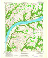 1961 Owen1964 Print · USGSThe Ohio River corridor comes alive in the early sixties as it bridges the rural boundaries of Indiana and Kentucky. Researchers can trace the massive Indiana Arsenal, the remains of an Historic Fort, and local landmarks like Tunnel Mill Camp.4 unique versions available
 - 1964 Map of Louisville
 1964 Louisville1964 Print · USGSThe Ohio River valley and Kentucky Bluegrass are captured in the mid-1960s, showing a region balanced between industrial growth and its agrarian roots. Genealogists and historians can trace the development of county seats like Shelbyville and Paris, or locate established institutions such as Georgetown College and Bernheim Forest.
 - 1965 Map of Anchorage, 1966 Print
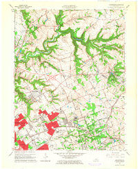 1965 Anchorage1966 Print · USGSEastern Jefferson County was undergoing a major residential and institutional transition in the mid-sixties. Researchers can trace the grounds of the Ormsby Village State Reservation, the Kentucky Military Institute, and the rail lines through Anchorage.2 unique versions available
 - 1981 Map of Anchorage, 1982 Print
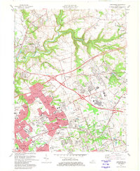 1981 Anchorage1982 Print · USGSSuburban Jefferson County comes into focus in the early eighties as highway expansion reshapes traditional neighborhoods. Genealogists and local historians can trace the footprint of Central State Hospital, the Kentucky Railway Museum, and settlements like Berrytown and O'Bannon.2 unique versions available
 - 1986 Map of Louisville
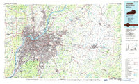 1986 Louisville1986 Print · USGSMid-1980s Louisville and southern Indiana are shown here during a decade of significant suburban growth and infrastructure development. Researchers can trace the layout of Cave Hill Cemetery, the expansion of Standiford Field, and industrial sites like the Indiana Army Ammunition Plant.2 unique versions available
 - 2010 Map of Anchorage, 2010 Print
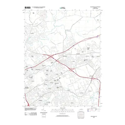 2010 Anchorage2010 Print · USGSNortheastern Jefferson County shows a dense network of suburban growth and historic enclaves during the early twenty-first century. Researchers can trace family-named landmarks and local sites like Harrods Creek Cemetery, Old Brownsboro Place, and the historic Berrytown area.
 - 2010 Map of Owen, 2010 Print
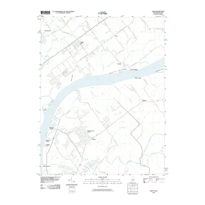 2010 Owen2010 Print · USGSThe Ohio River corridor near the Indiana and Kentucky border comes into focus in this 2010 survey of the region. Genealogists and local historians can trace the development of Goshen and Oldham Acres, or locate riverfront sites like Harmony Landing and Rose Island.
 - 2013 Map of Anchorage, 2013 Print
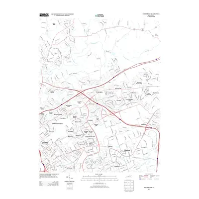 2013 Anchorage2013 Print · USGSThe suburban landscape northeast of Louisville is shown here in the early twenty-first century as established residential enclaves continued to grow. Genealogists and local historians can trace family locations near Anchorage, Berrytown, and the Harrods Creek Cemetery.
 - 2013 Map of Owen, 2013 Print
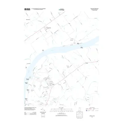 2013 Owen2013 Print · USGSThe Ohio River corridor near Charlestown and Goshen is captured here in the early twenty-first century, showing a mix of established rural hamlets and growing residential suburbs. Researchers can trace local landmarks like Halls Landing, the ridge of the Devils Backbone, and the small settlement of Germany.
 - 2016 Map of Anchorage, 2016 Print
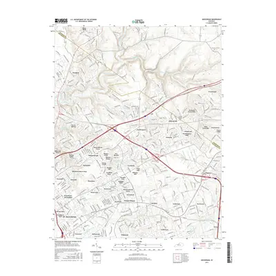 2016 Anchorage2016 Print · USGSThe Jefferson and Oldham County line comes alive in the mid-2010s, showcasing the suburban evolution of Pewee Valley and Prospect. Genealogists and local historians can trace family locations near the Middletown Cemetery and the settlement of O'Bannon.
 - 2016 Map of Owen, 2016 Print
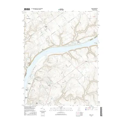 2016 Owen2016 Print · USGSThe Ohio River corridor between Indiana and Kentucky is captured here in the mid-2010s, showing a blend of riverfront bluffs and growing residential communities. Researchers can trace land patterns around Rose Island or locate family properties near Goshen and Skylight.
 - 2019 Map of Anchorage, 2019 Print
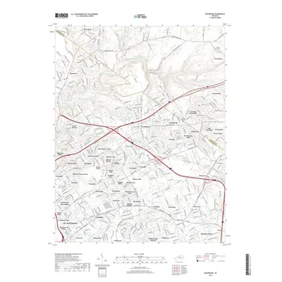 2019 Anchorage2019 Print · USGSThe eastern Louisville suburbs and the rolling hills of Oldham County are shown here in recent detail as modern communities expand along the Harrods Creek corridor. Researchers can identify family landmarks and historic sites like Harrods Creek Cemetery, Ballardsville Church, and the CSX TRANSPORTATION rail line.
 - 2019 Map of Owen, 2019 Print
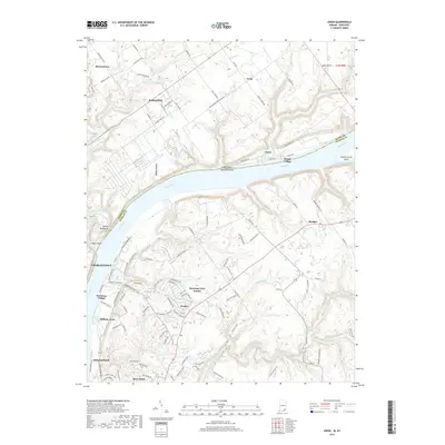 2019 Owen2019 Print · USGSThe Indiana-Kentucky borderlands come into focus in this late 2010s study of the Ohio River corridor. Researchers can trace the layout of Charlestown and Goshen or locate family landmarks near Devils Backbone and Eighteenmile Island.
 - 2022 Map of Anchorage, 2022 Print
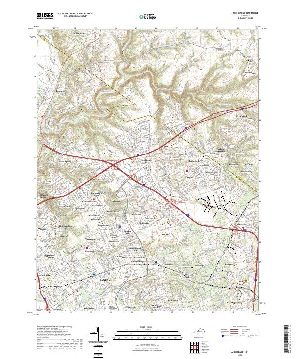 2022 Anchorage2022 Print · USGSThe eastern outskirts of Louisville are seen here in the early 2020s, showing a landscape of established neighborhoods and waterways. Trace family history at Berrytown Cem or explore the developments around Pewee Valley and Harrods Creek.
 - 2022 Map of Owen, 2022 Print
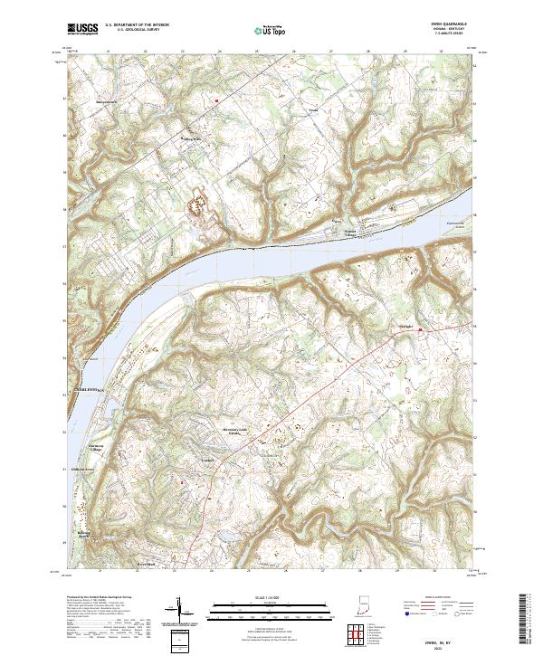 2022 Owen2022 Print · USGSThe riverfront communities along the Ohio River are captured here in the early 2020s, showing the modern layout of both Indiana and Kentucky banks. Researchers can trace the geography of river landmarks like Devils Backbone, Eighteenmile Island, and the residential growth around Goshen.
End of results
Showing maps 1-24 of 24
Top cities near River Bluff
- Louisville historical maps
- Jeffersonville historical maps
- New Albany historical maps
- Jeffersontown historical maps
- Clarksville historical maps
- Shively historical maps
See more
Frequently asked questions
- What are the different types of historical maps available for River Bluff?
- What is the oldest map of River Bluff?
- Where can I purchase historical maps of River Bluff for my home or office?
- Where can I download high-res historical maps of River Bluff?
- Are there historical topographic maps available for River Bluff?
- Is there historical aerial imagery available for River Bluff?
- Where are historical maps of River Bluff sourced from?