2020s Maps of Pendleton County, Kentucky
Explore 11 historic maps of Pendleton County from the 2020s. These maps offer a rare glimpse into what life looked like during the 2020s — showing old roads, neighborhoods, homes, and landmarks that have changed or disappeared over time.
Whether you're researching your family's past, planning a metal detecting trip, or studying how Pendleton County's landscape evolved across the 2020s, these high-resolution maps are a powerful tool for exploring the history of this region.
- Focus on a specific era: All maps on this page are from the 2020s, giving you a focused view of this time period.
- See what’s changed: Compare century-old streets, trails, and buildings to today's modern landscape using overlays and satellite layers.
- Research with precision: Use these maps for genealogy, historical research, land use analysis, or educational projects.
- View, download, or print: Maps are fully viewable online in high resolution, and can be downloaded or printed for your own records.
Start exploring Pendleton County's history through authentic maps from the 2020s. This is your window into the past.
Pendleton County, KY maps
(11)- 2022 Map of Kelat, 2022 Print
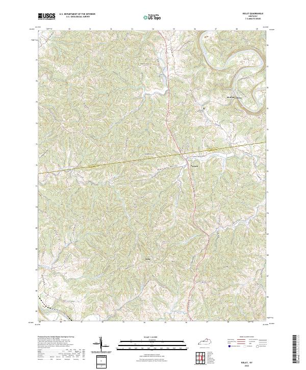 2022 Kelat2022 Print · USGSThe borderlands of Pendleton and Harrison counties are shown here in the 2020s, dominated by the winding curves of the Licking River. Researchers can trace old family sites and rural landmarks like the Old Mount Vernon Cem and the settlement of Kelat.
 - 2022 Map of Butler, 2022 Print
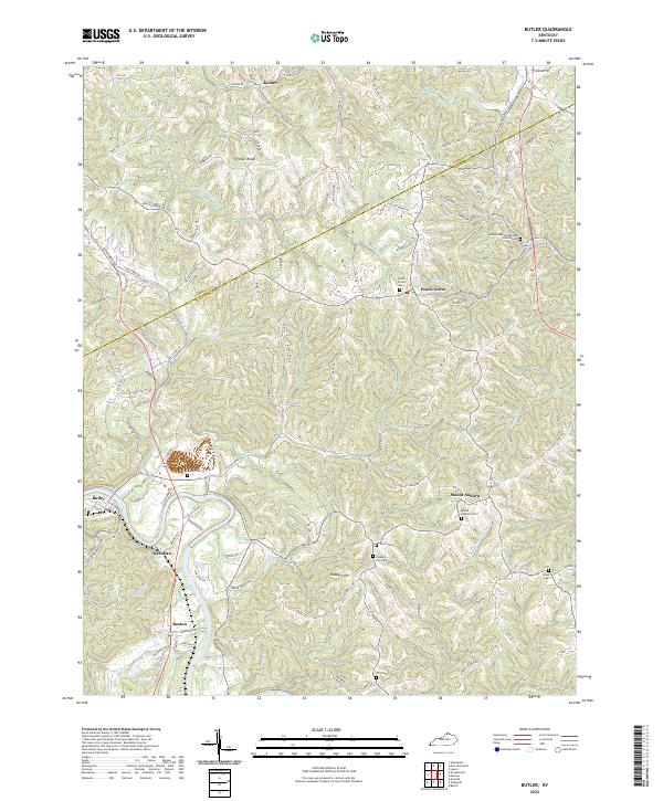 2022 Butler2022 Print · USGSThe Licking River valley and the ridges of northern Kentucky are captured here in recent detail. Researchers can trace family history through numerous rural landmarks like the Immaculate Conception Church Cem, Mount Auburn, and Fisher Ridge.
 - 2022 Map of De Mossville, 2022 Print
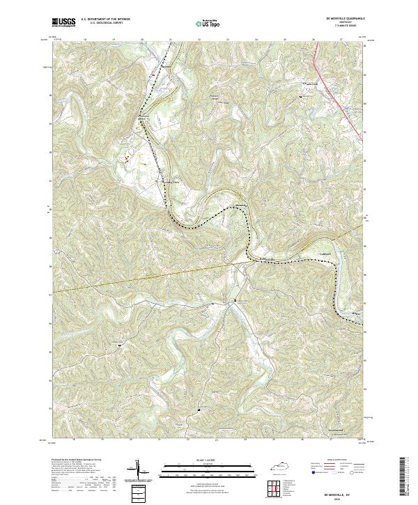 2022 De Mossville2022 Print · USGSThe Licking River valley in Northern Kentucky is captured here as it appeared in 2022, showing the rural communities along the Pendleton and Kenton County lines. Researchers can trace historic cemeteries and rail lines through DeMossville, Grants Lick, and the Licking Valley RR.
 - 2022 Map of Berlin, 2022 Print
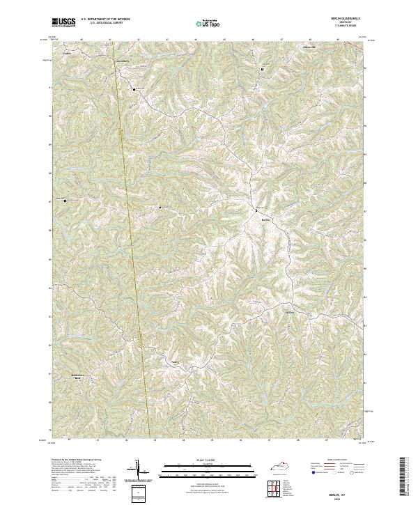 2022 Berlin2022 Print · USGSBracken and Pendleton counties come into focus in this contemporary study of rural Kentucky ridge-and-valley life. Local historians can trace family burial sites like Downard Cem and Biddle Cem or locate the historic center of Berlin.
 - 2022 Map of Walton, 2022 Print
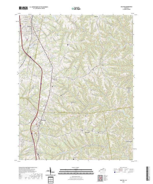 2022 Walton2022 Print · USGSNorthern Kentucky's ridge-and-valley landscape comes to life in this survey of the borders where Boone, Kenton, and Grant Counties meet. Genealogists and local researchers can trace numerous family-named burial sites and rural communities like Bracht, Fiskburg, and the Crittenden Christian Cem.
 - 2022 Map of Falmouth, 2022 Print
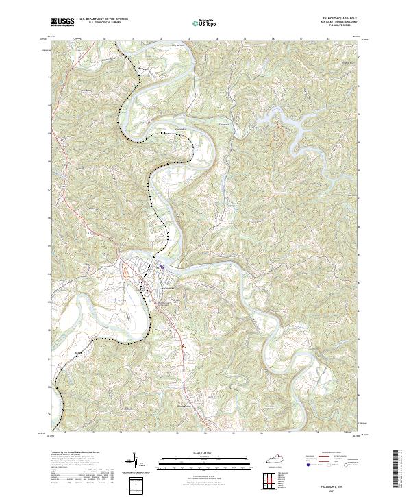 2022 Falmouth2022 Print · USGSThe confluence of the Licking River and South Fork Licking River defines this Pendleton County landscape in the early 2020s. Researchers can locate family landmarks like Beech Grove Cem or trace rural settlements such as Catawba, Four Oaks, and Menzie.
 - 2022 Map of Williamstown, 2022 Print
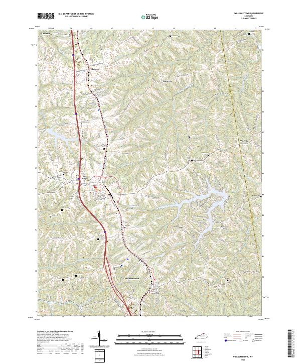 2022 Williamstown2022 Print · USGSWilliamstown and Dry Ridge center this recent survey of the Grant County uplands. Genealogists can locate numerous local burial sites like Hill Crest Cem and Conrad Cem, or trace the winding waters of Arnolds Creek and Lake Polliwog.
 - 2022 Map of Berry, 2022 Print
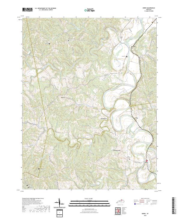 2022 Berry2022 Print · USGSThe South Fork Licking River valley comes alive in this contemporary survey of the Harrison and Pendleton county borders. Genealogists can trace family roots through numerous burial sites and rural hubs like Berry, Colemansville, and Pythian Grove Cem.
 - 2022 Map of Goforth, 2022 Print
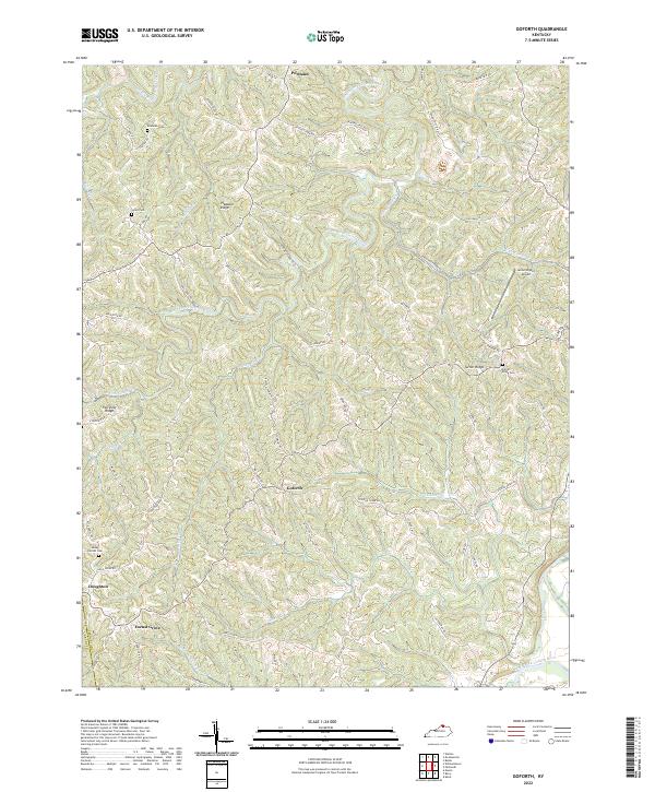 2022 Goforth2022 Print · USGSThe Grant and Pendleton County line near Goforth is shown here as it appears in the early twenty-first century. Genealogists can locate several family burial grounds, including Mount Carmel Cem, McMillan Cem, and Johns Cem.
 - 2022 Map of Claysville, 2022 Print
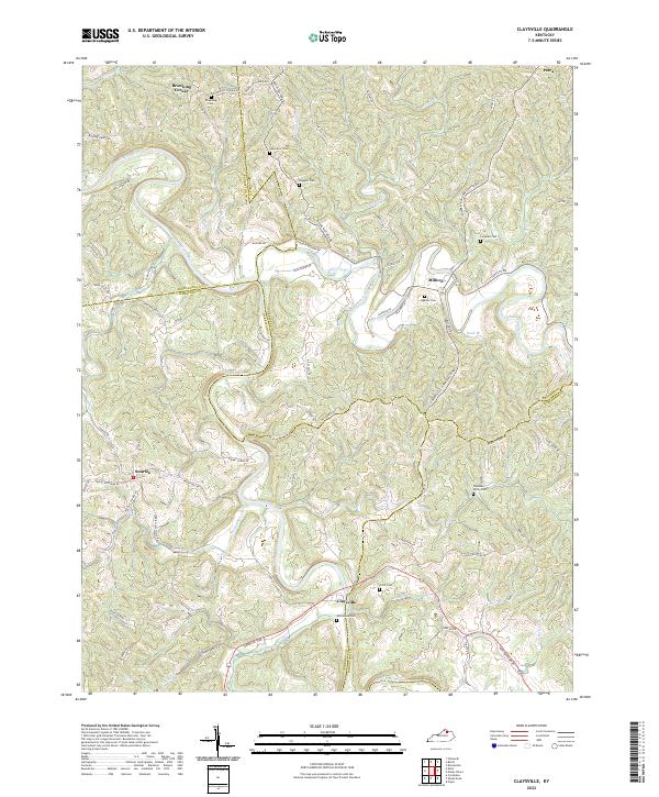 2022 Claysville2022 Print · USGSNorthern Kentucky's river valleys and ridge-top communities are documented here in the early twenty-first century. Genealogists can trace family heritage through scattered landmarks like Whitehead Cem, Browning Corner, and the settlement of Claysville.
 - 2023 Map of Moscow, 2023 Print
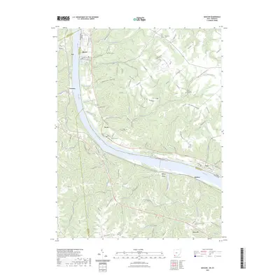 2023 Moscow2023 Print · USGSThe Ohio River valley and its bordering hill country are surveyed here in the modern era. Genealogists can trace family burial sites at Moscow Cem, Vesper Cem, and Chilo-McKendree Chapel Cem.
End of results
Showing maps 1-11 of 11
Top cities of Pendleton County
Frequently asked questions
- What are the different types of historical maps available for Pendleton County?
- What is the oldest map of Pendleton County?
- Where can I purchase historical maps of Pendleton County for my home or office?
- Where can I download high-res historical maps of Pendleton County?
- Are there historical topographic maps available for Pendleton County?
- Is there historical aerial imagery available for Pendleton County?
- Where are historical maps of Pendleton County sourced from?