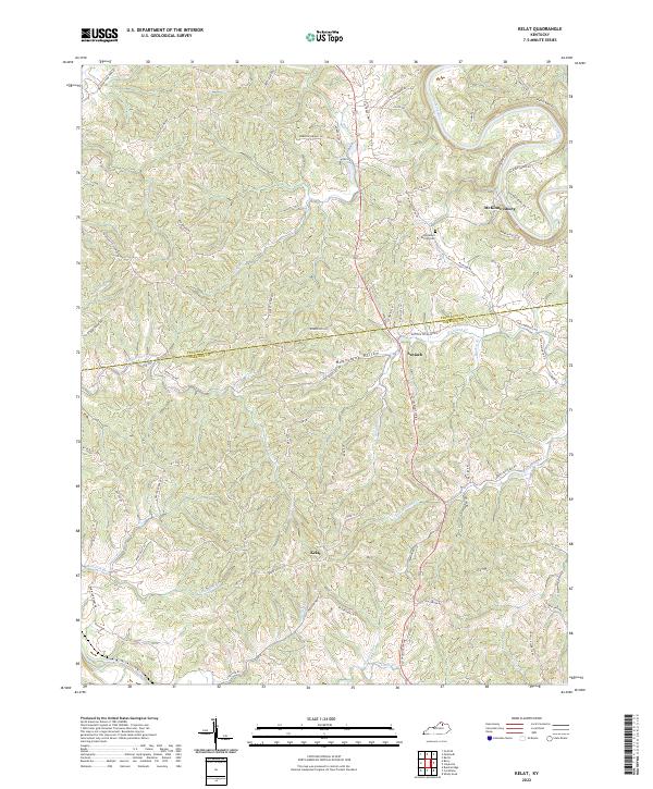
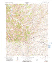
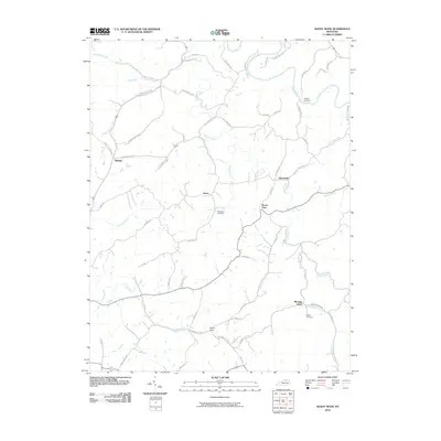
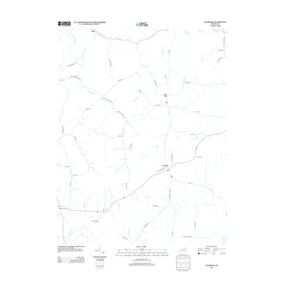
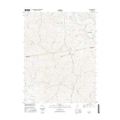
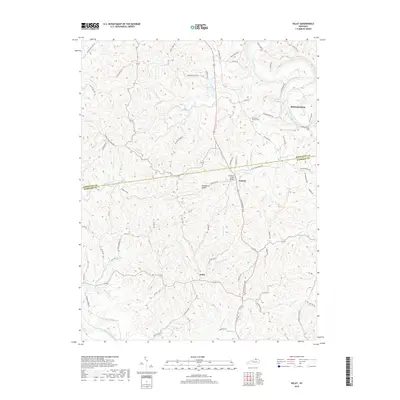
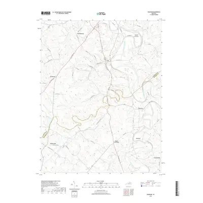
2022 Map of Kelat
USGS Topo · Published 2022About this map
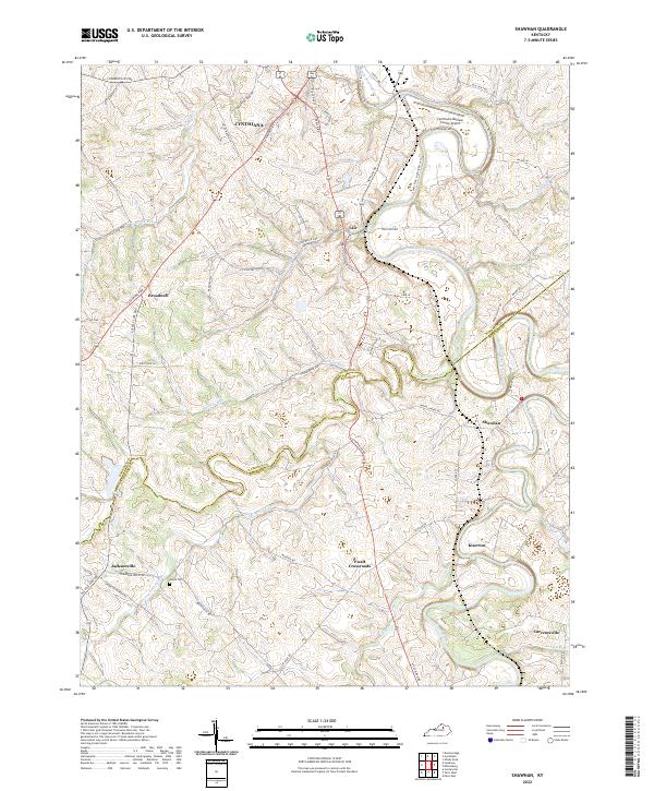
The Licking River and South Fork Licking River frame a dissected landscape along the Pendleton Co Harrison Co border. Small rural communities like Kelat and Antioch anchor a network of ridge roads and creek-bottom passages, reflecting a settlement pattern deeply tied to the local hydrology. Genealogists and local historians can locate specific family-named sites such as the Old Mount Vernon Cem, which sits near the winding course of the river.
Find a feature on this map
80 named features on this map. Tap any name to fly to it.
Don’t see what you’re looking for? This feature index may not catch every label — zoom into the map to look around manually.
Map Details
Editions of this 2022 Kelat Map
This is the sole edition of this map. No revisions or reprints were ever made.
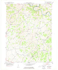
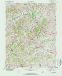
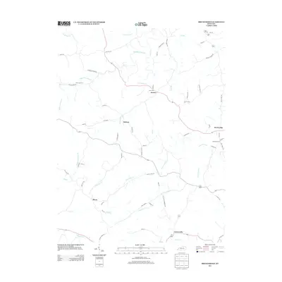
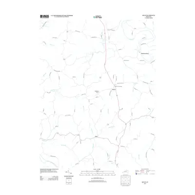
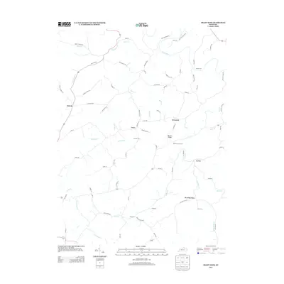
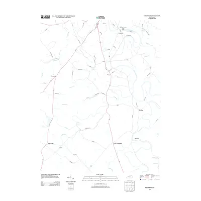
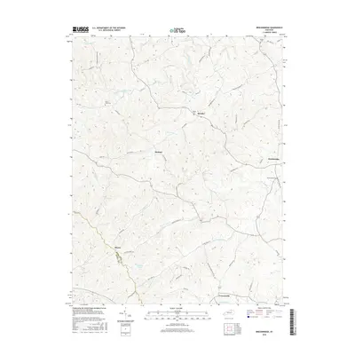
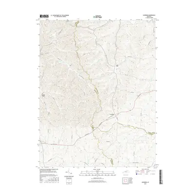
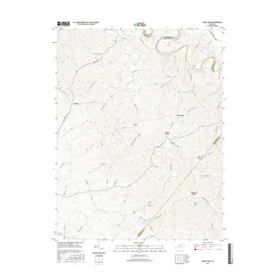
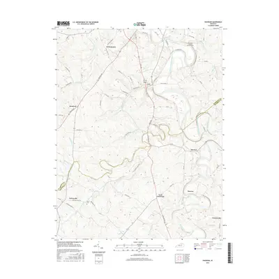
Historical Maps of McKinneysburg Through Time
30 maps found
1952 Shady Nook
Harrison County, KY
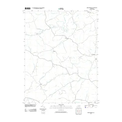
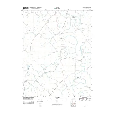
1953 Breckinridge
Harrison County, KY
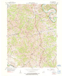
1953 Kelat
Harrison County, KY
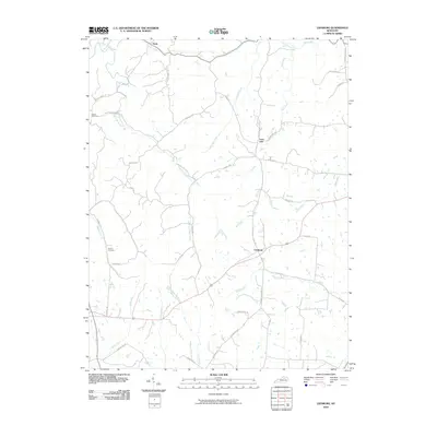
1954 Leesburg
Harrison County, KY
1954 Shawhan
Harrison County, KY
2010 Breckinridge
Harrison County, KY

2010 Kelat
Harrison County, KY
2010 Leesburg
Harrison County, KY
2010 Shady Nook
Harrison County, KY
2010 Shawhan
Harrison County, KY
2013 Breckinridge
Harrison County, KY
2013 Kelat
Harrison County, KY
2013 Leesburg
Harrison County, KY
2013 Shady Nook
Harrison County, KY
2013 Shawhan
Harrison County, KY
2016 Breckinridge
Harrison County, KY
2016 Kelat
Harrison County, KY
2016 Leesburg
Harrison County, KY
2016 Shady Nook
Harrison County, KY
2016 Shawhan
Harrison County, KY
2019 Breckinridge
Harrison County, KY
2019 Kelat
Harrison County, KY
2019 Leesburg
Harrison County, KY
2019 Shady Nook
Harrison County, KY
2019 Shawhan
Harrison County, KY
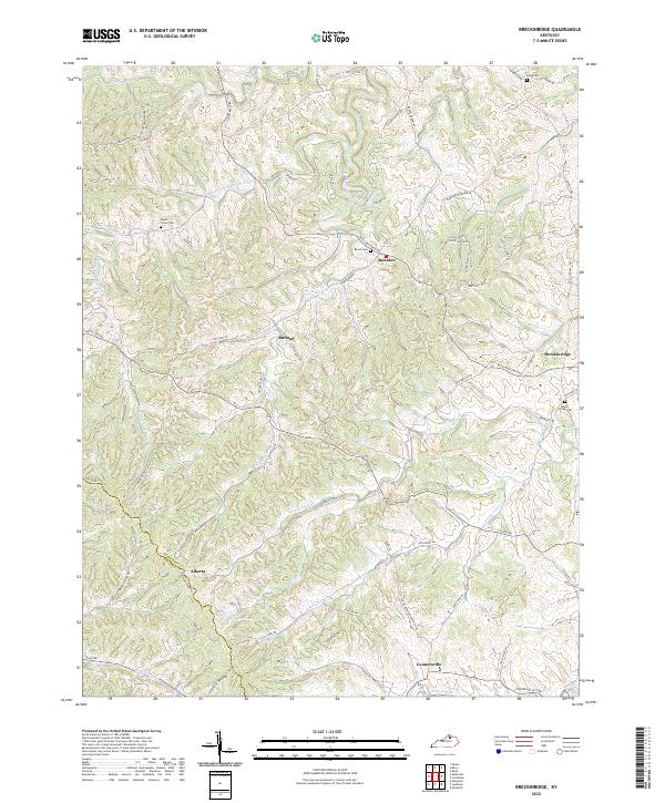
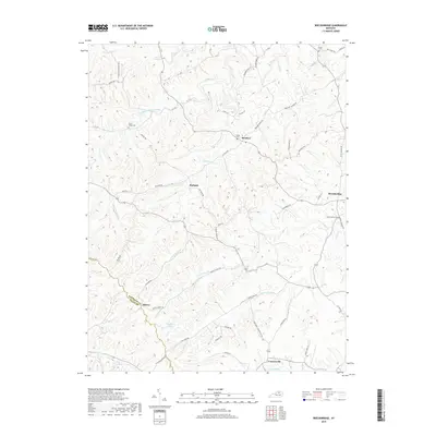
2022 Breckinridge
Harrison County, KY
2022 Kelat
Harrison County, KY
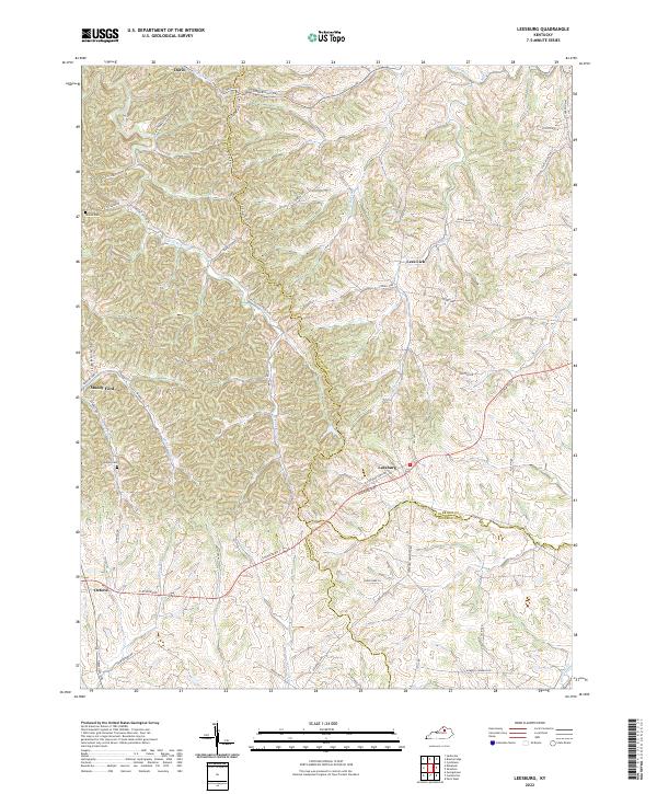
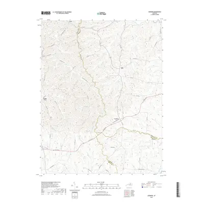
2022 Leesburg
Harrison County, KY
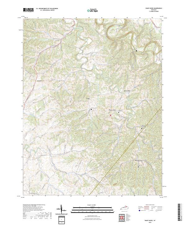
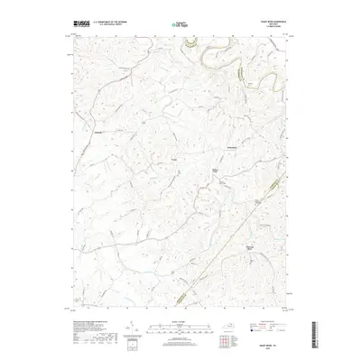
2022 Shady Nook
Harrison County, KY
2022 Shawhan
Harrison County, KY