Old Maps of Coleman, Kentucky for Metal Detecting
Plan your next treasure hunt with 16 historic maps of Coleman. Find old homesites, ghost towns, trails, and gathering spots that may be lost to time — perfect for identifying promising metal detecting locations.
- Locate forgotten sites: Uncover places like long-lost settlements, abandoned rail lines, or gathering spots.
- Plan better hunts: Use map overlays combined with LiDAR or satellite views to narrow in on historically rich areas.
- Made for detectorists: Thousands of hobbyists use these maps to discover relics, coins, and hidden history.
Use these historic maps to boost your research and find new opportunities beneath the surface of Coleman.
Coleman, KY maps
(16)- 1886 Map of Grundy
 1886 Grundy1886 Print · USGSThe Central Appalachian borderlands come alive in the late nineteenth century as small settlements and family outposts take hold in the hollows. Genealogists and historians can locate early communities like Clintwood and Grundy, or trace ancestral lands near Card P.O. and Sand Lick.
 - 1890 Map of Grundy
 1890 Grundy1890 Print · USGSThe Central Appalachian borderlands of Virginia and Kentucky are captured here in the late nineteenth century, showing a landscape of isolated mountain hollows. Genealogists and researchers can trace early settlements and river fords including Grundy, Clintwood, and the crossing at Fish Trap.
 - 1892 Map of Grundy
 1892 Grundy1892 Print · USGSThe Appalachian borderlands of Virginia and Kentucky appear here in the late nineteenth century, mapping the deep hollows and ridges of the coalfield region. Genealogists and historians can locate early settlement nodes like Ervinton, Sand Lick, and Grundy amidst landmarks like Pine Mountain.4 unique versions available
 - 1914 Map of Hurley
 1914 Hurley1914 Print · USGSThe Buchanan County borderlands come to life in this early twentieth-century survey, showcasing a landscape of high ridges and deep hollows. Genealogists can trace family roots through a dense network of mountain schools like Bull Creek School and remote outposts such as Kelsa PO or Artia.
 - 1915 Map of Hurley
 1915 Hurley1915 Print · USGSBuchanan County's deep hollows and early settlements are documented in this 1910s survey along the Kentucky-Virginia border. Genealogists and local historians can locate early centers of community life including Pawpaw P O, Looneyville School, and Hurley.2 unique versions available
 - 1917 Map of Hurley
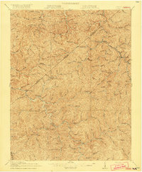 1917 Hurley1917 Print · USGSBuchanan County's mountain hollows and coal-country settlements are meticulously mapped in the years before the Great War. Genealogists can trace a dense network of early rural education sites like Rowe Mountain School and Home Creek School, alongside river points like Grundy and Levisa Fork.5 unique versions available
 - 1954 Map of Jamboree, 1956 Print
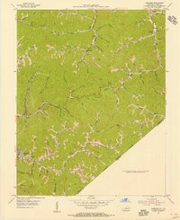 1954 Jamboree1956 Print · USGSThe Kentucky-Virginia borderlands in the mid-fifties were defined by narrow hollows and essential rail lines. Genealogists and historians can trace the foundations of mountain life through Jamboree P O, Rowland Row Camp, and schools like Smith Fork Sch.
 - 1957 Map of Jenkins, 1974 Print
 1957 Jenkins1974 Print · USGSThe Cumberland Plateau in the mid-twentieth century reveals a complex landscape of winding river valleys and deep-seated industry. Genealogists and historians can trace the development of Hazard, Jenkins, and Pikeville alongside extensive Numerous Oil and Gas Fields and the routes of the Chesapeake & Ohio Railway.
 - 1960 Map of Jenkins
 1960 Jenkins1960 Print · USGSEastern Kentucky and the West Virginia borderlands are captured at a mid-century peak of the coal and rail era. Trace the industrial corridors of the Chesapeake and Ohio RR through mountain hubs like Hazard and Jenkins.
 - 1963 Map of Jamboree, 1964 Print
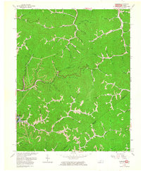 1963 Jamboree1964 Print · USGSEastern Kentucky's coal and gas country is captured here in the early 1960s as industrial development reshaped the hollows. Genealogists and researchers can trace local landmarks like Steele PO, the Phillips Cem, and the tracks of the Norfolk and Western.2 unique versions available
 - 1977 Map of Pikeville, 1983 Print
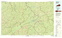 1977 Pikeville1983 Print · USGSThe Central Appalachian coalfields and the rugged borders of Kentucky and Virginia come into focus during the late seventies. Researchers can trace the rail networks of the C & O and L & N through towns like Jenkins, Whitesburg, and Pikeville.
 - 2011 Map of Jamboree, 2011 Print
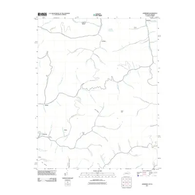 2011 Jamboree2011 Print · USGSThe Pike County coal country is captured here during the early twenty-first century, showing the enduring mountain settlements and hollows. Family researchers can locate Phillips Cemetery, the Steele Post Office, and the site of Rowland Row Camp.
 - 2013 Map of Jamboree, 2013 Print
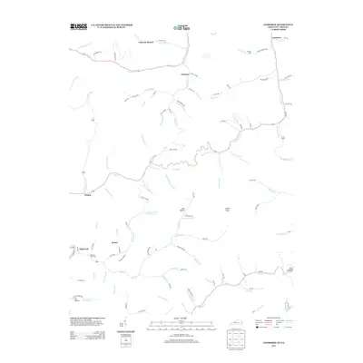 2013 Jamboree2013 Print · USGSPike County's hollows and creek-side settlements are captured here in the early twenty-first century as they continue to follow the winding geography of the hills. Researchers can locate family landmarks and rural infrastructure from Rowland Row Camp and Phillips Cem to the post office at Fedscreek.
 - 2016 Map of Jamboree, 2016 Print
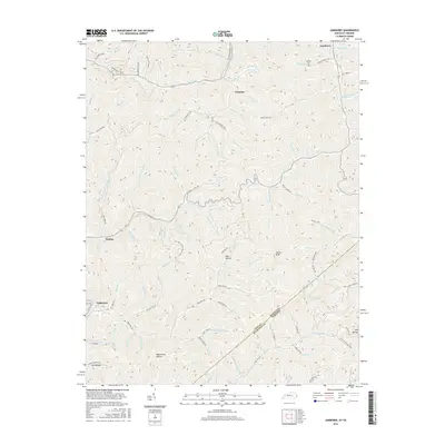 2016 Jamboree2016 Print · USGSThe Pike County borderlands are shown here in the 2010s, where small settlements like Jamboree and Dunlap follow the narrow valleys of the Kentucky-Virginia line. Local researchers can trace family landmarks and mountain cemeteries such as Phillips Cem, or follow the winding paths of Fedscreek Rd and Henry Branch Rd.
 - 2019 Map of Jamboree, 2019 Print
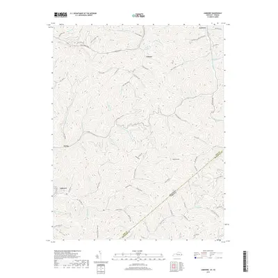 2019 Jamboree2019 Print · USGSPike County, Kentucky, remains defined by its deep hollows and high ridges at the edge of the Virginia border. Genealogists and historians can trace family locations near Jamboree, Fedscreek, and Phillips Cem, or follow the winding Miller Fork Road.
 - 2022 Map of Jamboree, 2022 Print
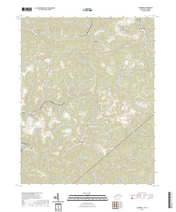 2022 Jamboree2022 Print · USGSThe mountains of eastern Kentucky and western Virginia come alive in this 2022 survey of the coal country. Genealogists and historians can trace family-named sites like Phillips Cem and the settlement at Jamboree, alongside landmarks such as Hylton Knob and Fox Hollow.
End of results
Showing maps 1-16 of 16
Top cities near Coleman
- Williamson historical maps
- Elkhorn City historical maps
- Grundy historical maps
- Chattaroy historical maps
- Red Jacket historical maps
- Matewan historical maps
See more
Frequently asked questions
- What are the different types of historical maps available for Coleman?
- What is the oldest map of Coleman?
- Where can I purchase historical maps of Coleman for my home or office?
- Where can I download high-res historical maps of Coleman?
- Are there historical topographic maps available for Coleman?
- Is there historical aerial imagery available for Coleman?
- Where are historical maps of Coleman sourced from?