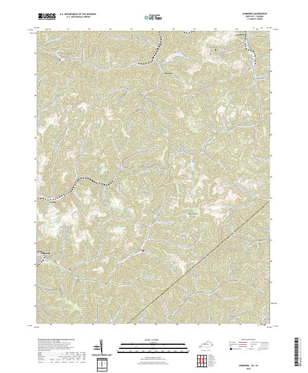
2022 Map of Jamboree
USGS Topo · Published 2022About this map
The community of Jamboree sits at the northern edge of this modern topographic survey, marking a rugged landscape where the Kentucky and Virginia state lines meet. Located within the coal-rich mountains of Pike County, the terrain is defined by a dense network of branching waterways and narrow hollows, including Blackberry Fork and Upper Johns Creek. Small settlements such as Coleman and Dunlap are concentrated along the valley floors, following the natural corridors carved by streams like Big Cr and Feds Cr. The high-elevation topography is punctuated by Hylton Knob, while genealogical history is preserved at Phillips Cem near the headwaters of Phillips Br. The map also illustrates the 21st-century industrial footprint through the presence of the KB C-Mine RD and numerous access roads like Fedscreek Rd and State Hwy 632 that wind through the steep ridges.
Find a feature on this map
103 named features on this map. Tap any name to fly to it.
Don’t see what you’re looking for? This feature index may not catch every label — zoom into the map to look around manually.
Map Details
Editions of this 2022 Jamboree Map
This is the sole edition of this map. No revisions or reprints were ever made.
Other maps of this area

1886 · Grundy
USGS Topo · 1:125,000

1887 · Warfield
USGS Topo · 1:125,000

1890 · Grundy
USGS Topo · 1:125,000

1891 · Warfield
USGS Topo · 1:125,000

1892 · Grundy
USGS Topo · 1:125,000

1909 · Matewan
USGS Topo · 1:48,000

1914 · Hurley
USGS Topo · 1:48,000

1915 · Regina
USGS Topo · 1:48,000

1915 · Hurley
USGS Topo · 1:48,000

1915 · Williamson
USGS Topo · 1:48,000