Old Maps of Pinsonfork, Kentucky for Hiking & Exploration
Hike through history with 15 historic maps of Pinsonfork. Explore old trails, ghost towns, and forgotten backroads — perfect for outdoor adventurers and local explorers.
- Rediscover forgotten places: Map out old mining camps, roads, and footpaths that no longer exist on modern maps.
- Layer with modern tools: Combine with LiDAR or satellite views to plan hikes through historical terrain.
- Made for exploration: Popular among hikers, overlanders, and local history lovers.
Use these maps to find adventure and explore the hidden past of Pinsonfork.
Pinsonfork, KY maps
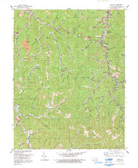
(15)- 1887 Map of Warfield
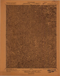
 1887 Warfield1887 Print · USGSThe West Virginia and Kentucky borderlands come into focus in the late nineteenth century along the winding Tug Fork of Big Sandy River. Genealogists and historians can trace early valley life through sites like Warfield, Chapmansville, and the remote White Post settlement.
 - 1891 Map of Warfield
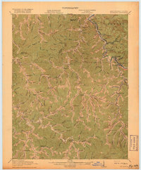
 1891 Warfield1891 Print · USGSThe Tug Fork valley in the 1880s is captured here at the intersection of Kentucky and West Virginia. Researchers can trace the early Appalachian landscape through riverfront settlements like Warfield and White Post, or find family-named hubs such as Hatfield and Mate.7 unique versions available
 - 1915 Map of Williamson
 1915 Williamson1915 Print · USGSThe borderlands of the Tug Fork river come alive in this early century survey of the Central Appalachian coal country. Genealogists and local historians can trace the early rail-side growth of Williamson, Chattaroy, and Nolan along the Norfolk and Western Ry.2 unique versions available
 - 1918 Map of Williamson
 1918 Williamson1918 Print · USGSThe Tug Fork river valley at the Kentucky-West Virginia border comes alive in this survey from the era of the Great War. Researchers can trace the path of the Norfolk and Western RR through Williamson or locate rural schools like Hammon Manor School and the Pinson Fork P O Peg Sta.3 unique versions available
 - 1954 Map of Belfry, 1955 Print
 1954 Belfry1955 Print · USGSIn the mid-1950s, the hollows of eastern Kentucky were defined by coal-hauling railroads and tight-knit valley settlements. Genealogists can trace family names and mountain landmarks through sites like Lonesome Dove Ch, Stump Cem, and the Norfolk and Western rail towns of Stone and McVeigh.
 - 1957 Map of Jenkins, 1974 Print
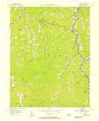
 1957 Jenkins1974 Print · USGSThe Cumberland Plateau in the mid-twentieth century reveals a complex landscape of winding river valleys and deep-seated industry. Genealogists and historians can trace the development of Hazard, Jenkins, and Pikeville alongside extensive Numerous Oil and Gas Fields and the routes of the Chesapeake & Ohio Railway.
 - 1960 Map of Jenkins
 1960 Jenkins1960 Print · USGSEastern Kentucky and the West Virginia borderlands are captured at a mid-century peak of the coal and rail era. Trace the industrial corridors of the Chesapeake and Ohio RR through mountain hubs like Hazard and Jenkins.
 - 1978 Map of Belfry
 1978 Belfry1978 Print · USGSPike County mountain communities and coal operations are documented here during the late 1970s. Trace local family history and industry through landmarks like Mountain View Memory Gardens, the rail-side settlement of Huddy, and the Norfolk and Western tracks.
 - 1982 Map of Williamson, 1983 Print
 1982 Williamson1983 Print · USGSThe Central Appalachian coalfields of West Virginia and Kentucky come into sharp focus here during the early eighties. Genealogists and researchers can trace the valley rail networks of the Norfolk and Western RR through Matewan, Williamson, and Blackberry City.
 - 1992 Map of Belfry
 1992 Belfry1992 Print · USGSPike County's coal country comes into focus in the early nineties as mining towns trace the path of Pond Creek. Researchers can locate family sites like Stump Cem or trace the industrial infrastructure of the Norfolk and Western RR and local mine dumps.
 - 2010 Map of Belfry, 2010 Print
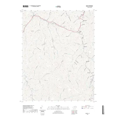
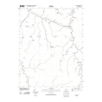 2010 Belfry2010 Print · USGSCovers Pinsonfork, including Canada, McVeigh, and other nearby areas
 - 2013 Map of Belfry, 2013 Print
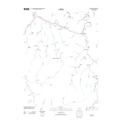 2013 Belfry2013 Print · USGSCovers Pinsonfork, including Canada, McVeigh, and other nearby areas
 - 2016 Map of Belfry, 2016 Print
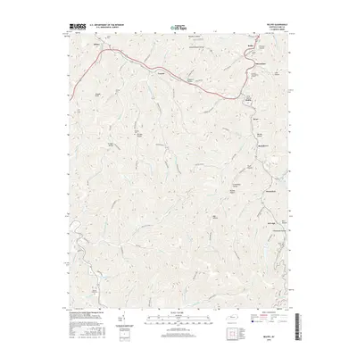 2016 Belfry2016 Print · USGSCovers Pinsonfork, including Canada, McVeigh, and other nearby areas
 - 2019 Map of Belfry, 2019 Print
 2019 Belfry2019 Print · USGSCovers Pinsonfork, including Canada, McVeigh, and other nearby areas
 - 2022 Map of Belfry, 2022 Print
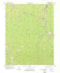
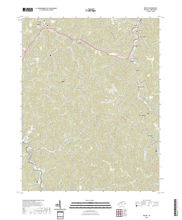 2022 Belfry2022 Print · USGSEastern Kentucky's narrow valleys and steep ridges are documented here in the early twenty-first century. Genealogists can trace family locations through named sites like Deskins Family Cem, Jerry Bottom, and settlements such as Sharondale or Pinsonfork.
End of results
Showing maps 1-15 of 15
Top cities near Pinsonfork
- Pikeville historical maps
- Williamson historical maps
- Chattaroy historical maps
- Red Jacket historical maps
- Matewan historical maps
- Delbarton historical maps
See more
Frequently asked questions
- What are the different types of historical maps available for Pinsonfork?
- What is the oldest map of Pinsonfork?
- Where can I purchase historical maps of Pinsonfork for my home or office?
- Where can I download high-res historical maps of Pinsonfork?
- Are there historical topographic maps available for Pinsonfork?
- Is there historical aerial imagery available for Pinsonfork?
- Where are historical maps of Pinsonfork sourced from?