2000s (21st Century) Maps of Powell County, Kentucky
Explore 50 historic maps of Powell County from the 2000s (21st Century). These maps offer a rare glimpse into what life looked like during the 2000s — showing old roads, neighborhoods, homes, and landmarks that have changed or disappeared over time.
Whether you're researching your family's past, planning a metal detecting trip, or studying how Powell County's landscape evolved across the 2000s, these high-resolution maps are a powerful tool for exploring the history of this region.
- Focus on a specific era: All maps on this page are from the 2000s, giving you a focused view of this time period.
- See what’s changed: Compare century-old streets, trails, and buildings to today's modern landscape using overlays and satellite layers.
- Research with precision: Use these maps for genealogy, historical research, land use analysis, or educational projects.
- View, download, or print: Maps are fully viewable online in high resolution, and can be downloaded or printed for your own records.
Start exploring Powell County's history through authentic maps from the 2000s. This is your window into the past.
Powell County, KY maps
(50)- 2010 Map of Palmer, 2010 Print
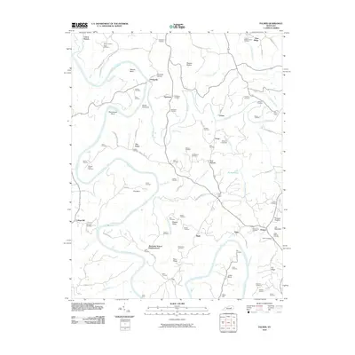 2010 Palmer2010 Print · USGSThe convergence of the Kentucky and Red Rivers defines this Clark County landscape during the early 21st century. Researchers can trace family history through numerous landmarks like Lilly's Ferry, Log Lick Baptist Church, and the Alexander School Neighborhood.
 - 2010 Map of Levee, 2010 Print
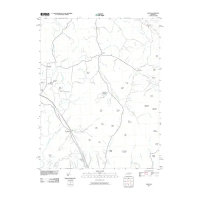 2010 Levee2010 Print · USGSEastern Montgomery County at the turn of the millennium remains a landscape of isolated knobs and deep creek forks. Genealogists and hikers can trace old family sites like Willoughby Cemetery, the historic Thomas Mill, and landmarks like Pilot Knob.
 - 2010 Map of Hedges, 2010 Print
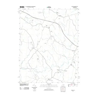 2010 Hedges2010 Print · USGSAgawam and the surrounding Clark County countryside are captured here in the early twenty-first century as modern transit corridors meet historic crossroads. Researchers can trace ancestral roots through numerous family burial sites like Osborne Cemetery or explore established hamlets such as Pilot View and Rabbit Town.
 - 2011 Map of Stanton, 2011 Print
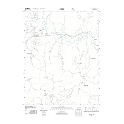 2011 Stanton2011 Print · USGSStanton and the surrounding valley are captured here in the early twenty-first century as the Red River winds through the hills of eastern Kentucky. Genealogists and local historians can trace family locations near Rogers Chapel, Billings Cemetery, or the historic settlement of Furnace.
 - 2011 Map of Cobhill, 2011 Print
 2011 Cobhill2011 Print · USGSThe river loops and ridge-top communities of Estill County are captured here in the early 2000s. Genealogists can locate numerous family burial sites such as Howell Cemetery and Vanderpool Cemetery, or trace old routes near Old Landing.
 - 2011 Map of Slade, 2011 Print
 2011 Slade2011 Print · USGSEastern Kentucky's river-cut terrain is shown here during a period of modern recreation and industry. Researchers can trace family roots at Napier Cemetery or locate old community hubs like the Nada Lombard Post Office and the Big Sinking Oil Field.
 - 2011 Map of Means, 2011 Print
 2011 Means2011 Print · USGSJeffersonville and the surrounding Kentucky hills are captured here in the early twenty-first century, showing a landscape of small settlements and family landmarks. Researchers can trace ancestral connections at Lovely Cemetery or Wills Cemetery and explore the rural layout of Means and Rebelsville.
 - 2011 Map of Zachariah, 2011 Print
 2011 Zachariah2011 Print · USGSEastern Kentucky's ridge-and-hollow country is documented here in the early twenty-first century, showing the rural settlements of Zachariah and Rogers. Genealogists can locate family landmarks like Thacker Cemetery and the Rogers Post Office tucked among the steep terrain of Big Bend Ridge.
 - 2011 Map of Clay City, 2011 Print
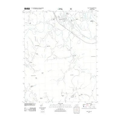 2011 Clay City2011 Print · USGSThe Red River valley in Powell County comes into focus here at the turn of the decade, showing the regional hub of Clay City and its surrounding hill country. Genealogists can trace family sites at Jackson Chapel Cemetery or locate historic industry at the Lewis Martin Grist Mill.
 - 2011 Map of Frenchburg, 2011 Print
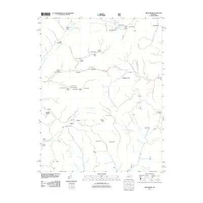 2011 Frenchburg2011 Print · USGSMenifee County's winding hollows and ridges are documented here at the turn of the decade, showing the enduring rural layout of this Kentucky region. Genealogists can trace family heritage through sites like Slusher Cemetery and the Fagan Lookout Tower.
 - 2013 Map of Clay City, 2013 Print
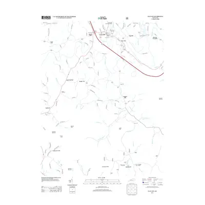 2013 Clay City2013 Print · USGSPowell County and the Red River valley are shown here in the early twenty-first century, balancing small-town life with a deep industrial past. Genealogists and historians can locate the Lewis Martin Grist Mill, Jackson Chapel Cem, and the settlement of Spout Springs.
 - 2013 Map of Cobhill, 2013 Print
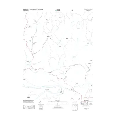 2013 Cobhill2013 Print · USGSThe ridges and river bottoms of Estill County are captured here in the early twenty-first century, showing the enduring settlement patterns of the region. Researchers can locate numerous family burial sites and rural communities, including Dickerson Cem, the community of Fitchburg, and the Bear Track Lookout Tower.
 - 2013 Map of Means, 2013 Print
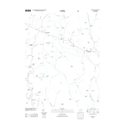 2013 Means2013 Print · USGSJeffersonville and the surrounding Kentucky knobs are captured here in the early twenty-first century as the landscape transitioned between historic homesteads and modern rural life. Researchers can locate family landmarks like Miller Cem and Gillum Cem or trace the early paths through Pottersville Hollow and Napier Hollow.
 - 2013 Map of Frenchburg, 2013 Print
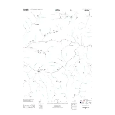 2013 Frenchburg2013 Print · USGSFrenchburg and the surrounding Menifee County hollows are captured in detail during the early twenty-first century. Genealogists and local historians can locate numerous family burial grounds like Reffitt Cem and Patrick Cem or trace the area's geography from Wildcat Ridge to the Fagan Lookout Tower.
 - 2013 Map of Zachariah, 2013 Print
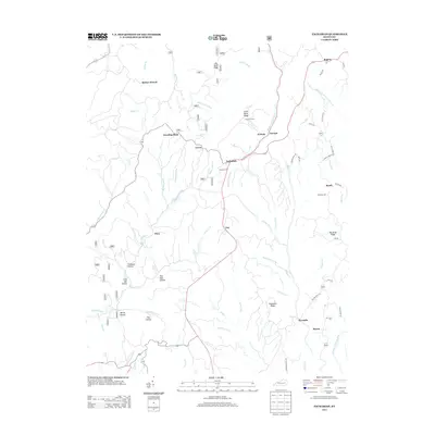 2013 Zachariah2013 Print · USGSWolfe County communities like Standing Rock and Leeco are shown in detail during the early twenty-first century. Genealogists can locate family sites such as Thacker Cem and Whisman Cem or trace the winding course of Hell for Certain Cr.
 - 2013 Map of Stanton, 2013 Print
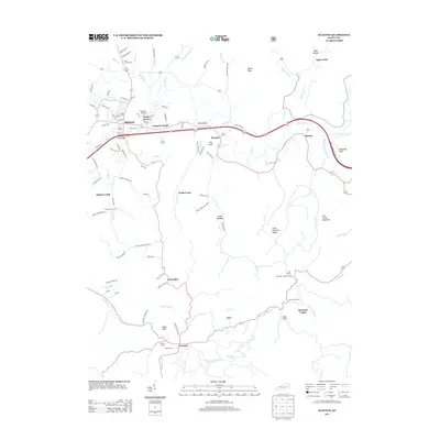 2013 Stanton2013 Print · USGSThe community of Stanton and the winding Red River valley are captured here just over a decade ago. Researchers can locate family landmarks like Hatton Creek Cem, study the layout of Furnace, or trace the ridgeline to High Rock Lookout Tower.
 - 2013 Map of Slade, 2013 Print
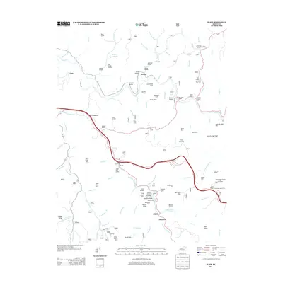 2013 Slade2013 Print · USGSWolfe County is shown here in the early twenty-first century as a landscape of dramatic natural geology and modern infrastructure. Researchers can trace family names through landmarks like Amburgy Hollow or locate sites like Nada Tunnel and the Big Sinking Oil Field.
 - 2013 Map of Levee, 2013 Print
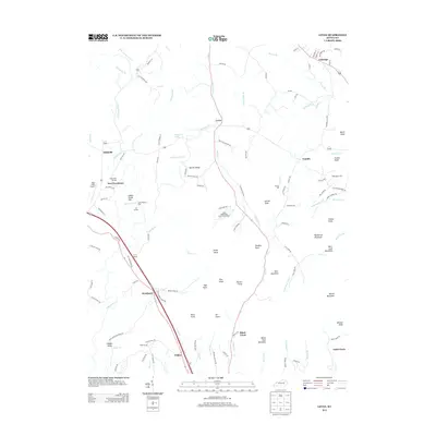 2013 Levee2013 Print · USGSKentucky's rolling ridge country comes alive in this survey of the communities south of Camargo during the early twenty-first century. Researchers can trace family names and local industry at Thomas Mill, Willoughby Cem, and the high points of Barlow Ridge.
 - 2013 Map of Palmer, 2013 Print
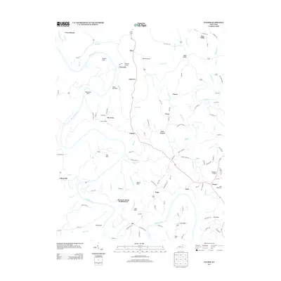 2013 Palmer2013 Print · USGSEastern Kentucky's river valleys and ridgelands are meticulously detailed here as they appeared in the early twenty-first century. Genealogists and local historians can trace the paths of Ferry Rd, identify sites near Alexander School Neighborhood, and locate family land near Maupin Bend.
 - 2013 Map of Hedges, 2013 Print
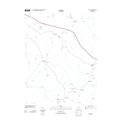 2013 Hedges2013 Print · USGSAgawam and the surrounding Clark County countryside are captured here in the early twenty-first century, showing a landscape shaped by creek forks and crossroads. Genealogists can trace family connections through small communities like Ruckerville, Trapp, and Rabbit Town, or locate landmarks such as Boones Creek Church Camp.
 - 2016 Map of Palmer, 2016 Print
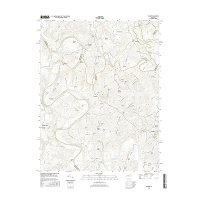 2016 Palmer2016 Print · USGSThe Kentucky River and its dramatic bends define this rural landscape during the mid-2010s at the intersection of Clark, Madison, and Estill counties. Researchers can locate numerous family burial sites like Howard-Davis Cem and settlements such as Vianna and Palmer.
 - 2016 Map of Hedges, 2016 Print
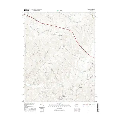 2016 Hedges2016 Print · USGSEastern Clark County in the mid-2010s reveals a patchwork of established rural settlements and family cemeteries. Genealogists and local historians can trace the geography of communities like Agawam and Schollsville, or find ancestral sites at Parrish Cem and Rupard Cem.
 - 2016 Map of Levee, 2016 Print
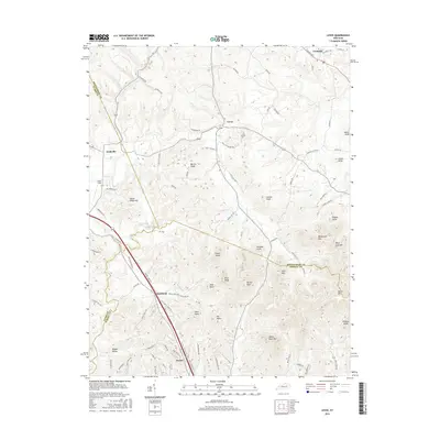 2016 Levee2016 Print · USGSEastern Kentucky's knob country is documented here in the mid-2010s, showing the intersection of Montgomery, Clark, and Powell counties. Genealogists can trace family landmarks and rural clusters like Kiddville, Westbend, and the prominent peak of Pilot Knob.
 - 2016 Map of Frenchburg, 2016 Print
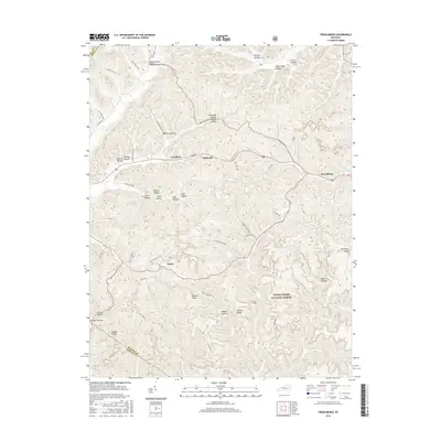 2016 Frenchburg2016 Print · USGSFrenchburg and the surrounding Menifee County highlands appear in high detail during the mid-2010s. Researchers can trace family names and old mountain routes through Pigeon Roost Hollow, McCausey Ridge, and along Spencer Cem Rd.
 - 2016 Map of Cobhill, 2016 Print
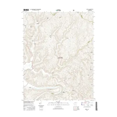 2016 Cobhill2016 Print · USGSThe Kentucky hills southeast of Irvine come to life in this recent survey of the ridges and river bends. Trace the footprint of upland settlements at Fitchburg and Patsey, or locate river-bottom geography near Old Landing and Old Landing Ridge.
Showing maps 1-25 of 50
Top cities of Powell County
Frequently asked questions
- What are the different types of historical maps available for Powell County?
- What is the oldest map of Powell County?
- Where can I purchase historical maps of Powell County for my home or office?
- Where can I download high-res historical maps of Powell County?
- Are there historical topographic maps available for Powell County?
- Is there historical aerial imagery available for Powell County?
- Where are historical maps of Powell County sourced from?