Old Maps of Mount Vernon, Kentucky for Academic Research
Study the evolution of Mount Vernon with 20 high-resolution historic maps. Whether you're teaching, researching, or modeling changes in land use, these maps provide essential visual documentation of urban, environmental, and geographic change.
- Analyze long-term change: Track patterns in development, transportation, and natural features.
- Ideal for environmental or urban studies: Support academic projects with primary historical map data.
- Use in the classroom or lab: Educators and researchers rely on these maps to bring historical context to life.
These maps are a powerful tool for teaching, research, and visualizing how Mount Vernon has changed over the decades.
Mount Vernon, KY maps
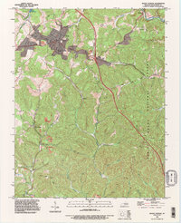
(20)- 1893 Map of London
 1893 London1893 Print · USGSSoutheast Kentucky's plateau country was undergoing a railway-driven transformation in the early 1890s. Genealogists and local historians can trace family roots through numerous small communities like Broadhead, Gum Sulphur, and Altamont along the Louisville and Nashville Railroad.
 - 1897 Map of London
 1897 London1897 Print · USGSThe Kentucky interior near the close of the nineteenth century centers on the vital Louisville and Nashville Railroad corridor. Genealogists can trace early homesteads and rail stops from Mt. Vernon to Bee Lick and Hazlepatch.5 unique versions available
 - 1953 Map of Wildie, 1954 Print
 1953 Wildie1954 Print · USGSThe hills of Rockcastle County come alive in the early fifties, centering on the rail corridor and the communities of Wildie and Renfro Valley. Genealogists can locate family burial sites like Saylor Cem and old schools including Hayes Grove Sch.
 - 1953 Map of Mount Vernon, 1954 Print
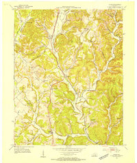
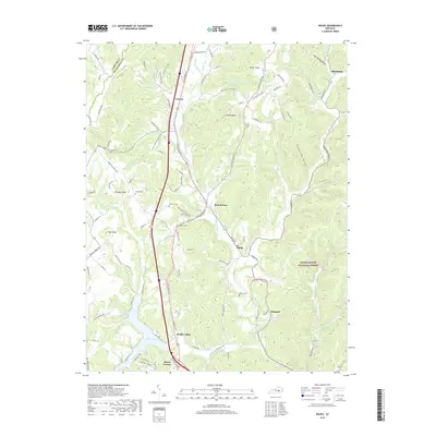
 1953 Mount Vernon1954 Print · USGSMount Vernon and the surrounding Kentucky hills are captured here in the early fifties, showing a landscape defined by the intersection of the historic Wilderness Road and the rail corridor. Researchers can locate numerous local landmarks including Orlando (Brush Creek Sta), Wellhope Sch, and the Flat Rock Cem.2 unique versions available
 - 1957 Map of Winchester, 1968 Print
 1957 Winchester1968 Print · USGSCentral Kentucky's landscape in the mid-twentieth century features the sprawling Fort Knox and the early parkway system. Genealogists and historians can trace rail lines like the Southern Railway and find landmarks from Bernheim Forest to Pilot Knob.3 unique versions available
 - 1960 Map of Winchester
 1960 Winchester1960 Print · USGSCentral Kentucky's diverse landscape is shown here at mid-century, from the bluegrass plains to the rugged Pottsville Escarpment. Genealogists and historians can trace the rail-and-river network connecting towns like Bardstown and Stanford alongside landmarks like Lake Cumberland.
 - 1970 Map of Wildie, 1972 Print
 1970 Wildie1972 Print · USGSRockcastle County and the Daniel Boone National Forest come to life in the early seventies, centered on the growing waters of Lake Linville. Trace family history at Saylor Cem or explore early landmarks like Renfro Valley and the Drive-in Theater.
 - 1970 Map of Mount Vernon, 1972 Print
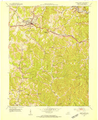
 1970 Mount Vernon1972 Print · USGSMount Vernon and the surrounding Rockcastle County hills are captured here in the early seventies as the interstate era reshaped the landscape. Genealogists can locate family landmarks like Elmwood Cem, Maple Grove Ch, and old rural schools such as McKinney Sch.2 unique versions available
 - 1982 Map of Somerset, 1983 Print
 1982 Somerset1983 Print · USGSThe Lake Cumberland region and the Daniel Boone National Forest appear here in the early eighties. Researchers can trace rural lineages through Broughtontown, Science Hill, and Sinking Valley Church while exploring the rail lines of the Southern Railway.
 - 1993 Map of Mount Vernon, 1996 Print
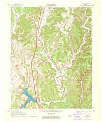
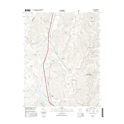
 1993 Mount Vernon1996 Print · USGSRockcastle County's landscape in the 1990s reveals a blend of heavy industry and national forest land focused around Mount Vernon. Researchers can trace old family burial grounds like Elmwood Cem and McKinney Cem while surveying the rail-side settlements of Pine Hill and Burr.
 - 2010 Map of Wildie, 2010 Print
 2010 Wildie2010 Print · USGSCovers Mount Vernon, including Disputanta, Wildie, and other nearby areas
 - 2010 Map of Mount Vernon, 2010 Print
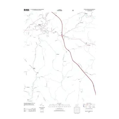
 2010 Mount Vernon2010 Print · USGSCovers Mount Vernon, including Burr, Orlando, and other nearby areas
 - 2013 Map of Wildie, 2013 Print
 2013 Wildie2013 Print · USGSCovers Mount Vernon, including Disputanta, Wildie, and other nearby areas
 - 2013 Map of Mount Vernon, 2013 Print
 2013 Mount Vernon2013 Print · USGSCovers Mount Vernon, including Burr, Orlando, and other nearby areas
 - 2016 Map of Mount Vernon, 2016 Print
 2016 Mount Vernon2016 Print · USGSCovers Mount Vernon, including Burr, Orlando, and other nearby areas
 - 2016 Map of Wildie, 2016 Print
 2016 Wildie2016 Print · USGSCovers Mount Vernon, including Disputanta, Wildie, and other nearby areas
 - 2019 Map of Wildie, 2019 Print
 2019 Wildie2019 Print · USGSCovers Mount Vernon, including Disputanta, Wildie, and other nearby areas
 - 2019 Map of Mount Vernon, 2019 Print
 2019 Mount Vernon2019 Print · USGSCovers Mount Vernon, including Burr, Orlando, and other nearby areas
 - 2022 Map of Mount Vernon, 2022 Print
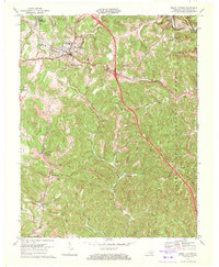
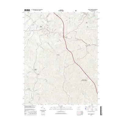
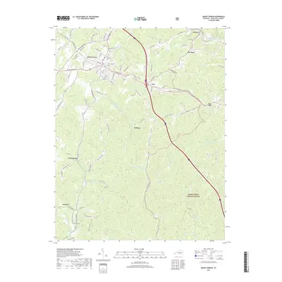
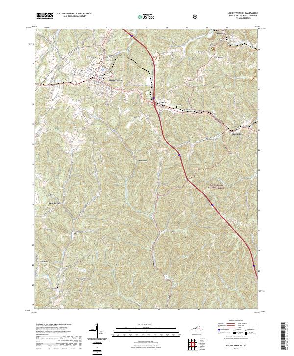 2022 Mount Vernon2022 Print · USGSMount Vernon and the surrounding hollows of Rockcastle County are captured here in the early 2020s. Genealogists can locate family sites near Elmwood Cem or trace the rural routes connecting Sand Springs and Pine Hill.
 - 2022 Map of Wildie, 2022 Print
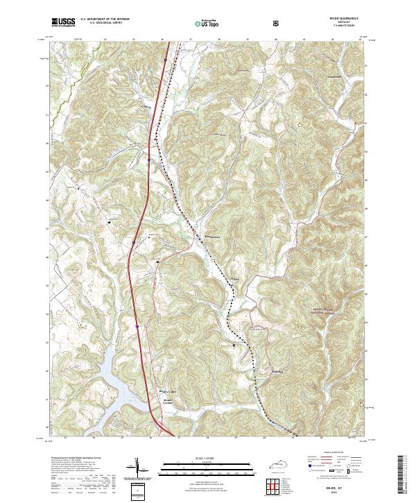 2022 Wildie2022 Print · USGSRockcastle County continues its long traditions of music and forest industry in this recent look at the hills and hollows. Family historians can trace local lineages through Saylor Cem and Merritt Cem, or locate the specific topography of Linville Knob and Renfro Valley.
End of results
Showing maps 1-20 of 20
Top cities near Mount Vernon
- Berea historical maps
- London historical maps
- Lancaster historical maps
- Brodhead historical maps
- Crab Orchard historical maps
- Livingston historical maps
Top neighborhoods of Mount Vernon
Frequently asked questions
- What are the different types of historical maps available for Mount Vernon?
- What is the oldest map of Mount Vernon?
- Where can I purchase historical maps of Mount Vernon for my home or office?
- Where can I download high-res historical maps of Mount Vernon?
- Are there historical topographic maps available for Mount Vernon?
- Is there historical aerial imagery available for Mount Vernon?
- Where are historical maps of Mount Vernon sourced from?