Old Maps of Lakeview Heights, Kentucky for Academic Research
Study the evolution of Lakeview Heights with 21 high-resolution historic maps. Whether you're teaching, researching, or modeling changes in land use, these maps provide essential visual documentation of urban, environmental, and geographic change.
- Analyze long-term change: Track patterns in development, transportation, and natural features.
- Ideal for environmental or urban studies: Support academic projects with primary historical map data.
- Use in the classroom or lab: Educators and researchers rely on these maps to bring historical context to life.
These maps are a powerful tool for teaching, research, and visualizing how Lakeview Heights has changed over the decades.
Lakeview Heights, KY maps
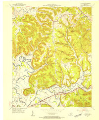
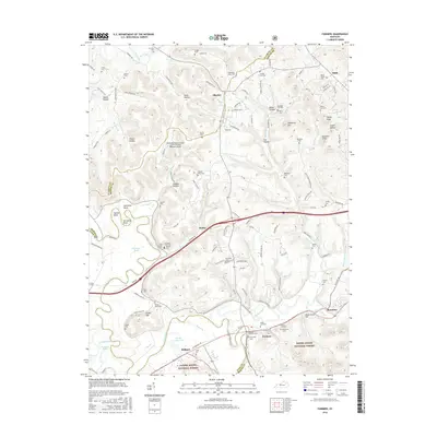
(21)- 1929 Map of Morehead
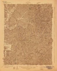 1929 Morehead1929 Print · USGSRowan and Morgan counties were centers of rail and clay production when this late-1920s survey was conducted. Local historians can locate early post offices like Elliottville PO (Hogtown) and trace the paths of the Chesapeake and Ohio through the Clack Mtn Tunnel.
 - 1929 Map of Salt Lick, 1961 Print
 1929 Salt Lick1961 Print · USGSBath and Fleming counties are shown here as the Licking River valley was transitioning into a modern rail corridor. Genealogists and historians can trace numerous rural schoolhouses and river crossings like Moores Ferry, Arnold Chapel, and the historic Olympia Springs.
 - 1934 Map of Salt Lick
 1934 Salt Lick1934 Print · USGSNortheastern Kentucky’s river valleys and ridgelines are captured here in the 1930s, centered on the vital rail corridor through Salt Lick. Genealogists and historians can trace dozens of rural schoolhouses and churches, including Arnold Chapel Sch, Olympia Springs, and Moores Ferry on the Licking River.
 - 1935 Map of Morehead
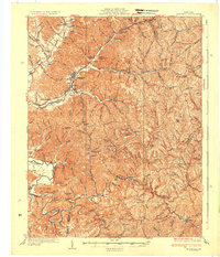 1935 Morehead1935 Print · USGSIn the mid-1930s, the mountain hollows around Morehead were connected by a dense network of country schools and the Chesapeake and Ohio railroad. Trace family sites at Blairs Mills PO, Zilpo, and the tunnels through Clack Mountain.
 - 1953 Map of Farmers, 1954 Print
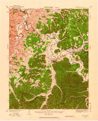
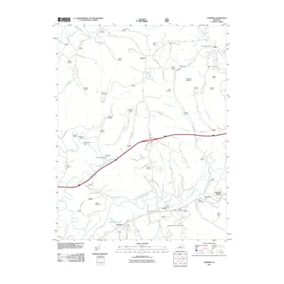
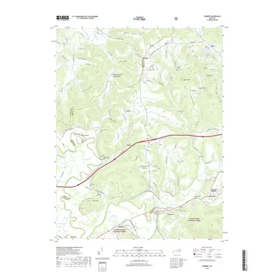
 1953 Farmers1954 Print · USGSThe borderlands of Rowan, Bath, and Fleming counties are captured here in the early fifties, centered on the rail-and-river hub of Farmers. Local researchers can trace family roots through sites like Jones Cemetery, Moores Ferry, and the Three Lick School.2 unique versions available
 - 1953 Map of Morehead, 1955 Print
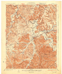
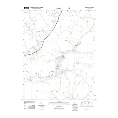
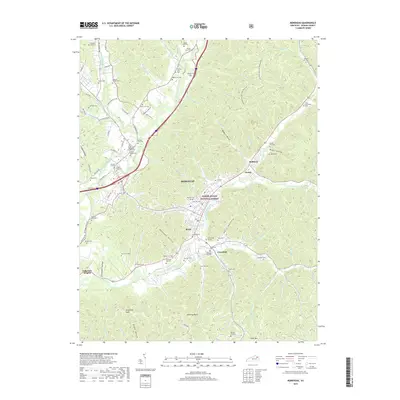
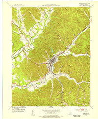 1953 Morehead1955 Print · USGSRowan County in the early fifties shows a bustling mountain economy centered on the campus of State College and the industrial yards of Clearfield. Genealogists and historians can trace the Chesapeake and Ohio railroad past family landmarks like Bratton Br Ch and the Morehead Lookout Tower.2 unique versions available
 - 1957 Map of Huntington, 1966 Print
 1957 Huntington1966 Print · USGSThe industrial heart of the Ohio River valley is captured here in the mid-sixties, showing the growth of Huntington and Ashland. Researchers can trace the extensive rail networks of the Chesapeake and Ohio RR and locate sites like the Chief Cornstalk Hunting Ground.3 unique versions available
 - 1960 Map of Huntington
 1960 Huntington1960 Print · USGSThe tri-state river valley thrived in the late fifties as a hub of heavy industry and Appalachian rail transit. Genealogists and historians can trace the connection between river towns like Ashland and Portsmouth or locate family homesteads near Coleman Ridge.
 - 1970 Map of Morehead, 1972 Print
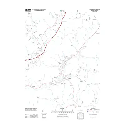
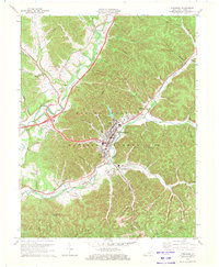 1970 Morehead1972 Print · USGSMorehead and the surrounding Rowan County hills are captured here in the early 1970s, as the university and railroad shaped the local landscape. Researchers can trace the development of Morehead State University or locate family sites like Caddill Cem and Dry Creek Ch.2 unique versions available
 - 1970 Map of Farmers, 1972 Print
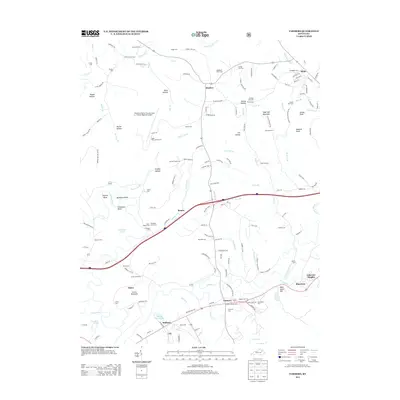
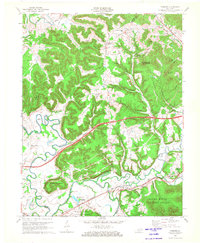 1970 Farmers1972 Print · USGSRowan and Bath counties in the early seventies reveal a landscape of river-bend settlements and deep forest ridges. Genealogists and locals can trace family sites like Eldridge Cem, find the old crossing at Moores Ferry, and follow the Chesapeake and Ohio rail line.2 unique versions available
 - 1982 Map of Morehead, 1983 Print
 1982 Morehead1983 Print · USGSThe foothills of northeastern Kentucky come alive in the early eighties, showcasing a landscape defined by timber, limestone caves, and major reservoirs. Local researchers can trace the development of Morehead State University or locate old crossings at Plummers Mill and Salt Lick.
 - 2011 Map of Farmers, 2011 Print
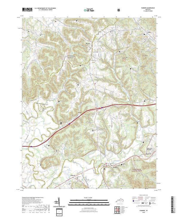
 2011 Farmers2011 Print · USGSCovers Lakeview Heights, including Salt Lick, Midland, and other nearby areas
 - 2011 Map of Morehead, 2011 Print
 2011 Morehead2011 Print · USGSCovers Lakeview Heights, including Morehead, Clearfield, and other nearby areas
 - 2013 Map of Morehead, 2013 Print
 2013 Morehead2013 Print · USGSCovers Lakeview Heights, including Morehead, Clearfield, and other nearby areas
 - 2013 Map of Farmers, 2013 Print
 2013 Farmers2013 Print · USGSCovers Lakeview Heights, including Salt Lick, Midland, and other nearby areas
 - 2016 Map of Morehead, 2016 Print
 2016 Morehead2016 Print · USGSCovers Lakeview Heights, including Morehead, Clearfield, and other nearby areas
 - 2016 Map of Farmers, 2016 Print
 2016 Farmers2016 Print · USGSCovers Lakeview Heights, including Salt Lick, Midland, and other nearby areas
 - 2019 Map of Farmers, 2019 Print
 2019 Farmers2019 Print · USGSCovers Lakeview Heights, including Salt Lick, Midland, and other nearby areas
 - 2019 Map of Morehead, 2019 Print
 2019 Morehead2019 Print · USGSCovers Lakeview Heights, including Morehead, Clearfield, and other nearby areas
 - 2022 Map of Morehead, 2022 Print
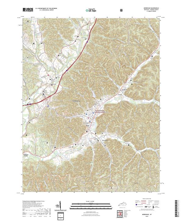 2022 Morehead2022 Print · USGSMorehead and the surrounding Appalachian foothills are captured here as the region grew around its university and forest lands. Genealogists can locate dozens of family burial sites including Pine Hill Cem, Caudill Cem, and Clearfield Cem.
 - 2022 Map of Farmers, 2022 Print
 2022 Farmers2022 Print · USGSThe Licking River valley comes into sharp focus during the early twenty-first century, showing the intersection of the Daniel Boone National Forest and local rail corridors. Researchers can trace dozens of family burial sites including the Woodford Black Cem and Ingram-Stevens Cem.
End of results
Showing maps 1-21 of 21
Top cities near Lakeview Heights
- Morehead historical maps
- West Liberty historical maps
- Frenchburg historical maps
- Salt Lick historical maps
Frequently asked questions
- What are the different types of historical maps available for Lakeview Heights?
- What is the oldest map of Lakeview Heights?
- Where can I purchase historical maps of Lakeview Heights for my home or office?
- Where can I download high-res historical maps of Lakeview Heights?
- Are there historical topographic maps available for Lakeview Heights?
- Is there historical aerial imagery available for Lakeview Heights?
- Where are historical maps of Lakeview Heights sourced from?