Old Maps of Lick Fork, Kentucky for Genealogy
Trace your family roots with 12 historic maps of Lick Fork. These high-res maps reveal old neighborhoods, homesites, landmarks, and streets — helping you uncover where your ancestors lived and how the area evolved over time.
- Explore historic neighborhoods: Identify where your relatives may have lived in the 1800s or 1900s.
- Compare maps over time: Trace the changes in streets, buildings, and landmarks for multi-generational research.
- Perfect for genealogy & ancestry research: Used by family historians and researchers to map out lineage and migration.
These maps are an incredible resource for exploring your personal connection to Lick Fork's past.
Lick Fork, KY maps
(12)- 1929 Map of Morehead
 1929 Morehead1929 Print · USGSRowan and Morgan counties were centers of rail and clay production when this late-1920s survey was conducted. Local historians can locate early post offices like Elliottville PO (Hogtown) and trace the paths of the Chesapeake and Ohio through the Clack Mtn Tunnel.
 - 1935 Map of Morehead
 1935 Morehead1935 Print · USGSIn the mid-1930s, the mountain hollows around Morehead were connected by a dense network of country schools and the Chesapeake and Ohio railroad. Trace family sites at Blairs Mills PO, Zilpo, and the tunnels through Clack Mountain.
 - 1953 Map of Bangor, 1954 Print
 1953 Bangor1954 Print · USGSRowan County in the early fifties is defined by the winding Licking River and the small upland communities of the Cumberland National Forest. Researchers can locate several rural schools like Cave Branch Sch and unusual landmarks such as Poppin Rock Tunnel.2 unique versions available
 - 1957 Map of Huntington, 1966 Print
 1957 Huntington1966 Print · USGSThe industrial heart of the Ohio River valley is captured here in the mid-sixties, showing the growth of Huntington and Ashland. Researchers can trace the extensive rail networks of the Chesapeake and Ohio RR and locate sites like the Chief Cornstalk Hunting Ground.3 unique versions available
 - 1960 Map of Huntington
 1960 Huntington1960 Print · USGSThe tri-state river valley thrived in the late fifties as a hub of heavy industry and Appalachian rail transit. Genealogists and historians can trace the connection between river towns like Ashland and Portsmouth or locate family homesteads near Coleman Ridge.
 - 1979 Map of Bangor
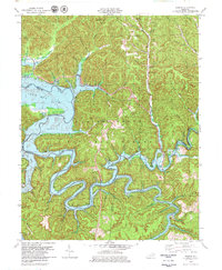 1979 Bangor1979 Print · USGSThe Licking River valley was being transformed into a major reservoir in the late 1970s, reshaping the local landscape. Genealogists and historians can trace the rising waters of Cave Run Lake around Bangor, the Poppin Rock Tunnel, and the Claypits.2 unique versions available
 - 1982 Map of Morehead, 1983 Print
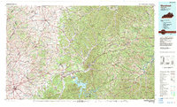 1982 Morehead1983 Print · USGSThe foothills of northeastern Kentucky come alive in the early eighties, showcasing a landscape defined by timber, limestone caves, and major reservoirs. Local researchers can trace the development of Morehead State University or locate old crossings at Plummers Mill and Salt Lick.
 - 2011 Map of Bangor, 2011 Print
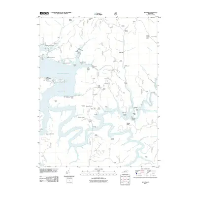 2011 Bangor2011 Print · USGSThe Licking River reservoir system defines this Rowan County landscape in the early twenty-first century. Genealogists and local historians can locate many family burial grounds, including Tackett Cemetery and Cornett Cemetery, alongside landmarks like Poppin Rock Tunnel.
 - 2013 Map of Bangor, 2013 Print
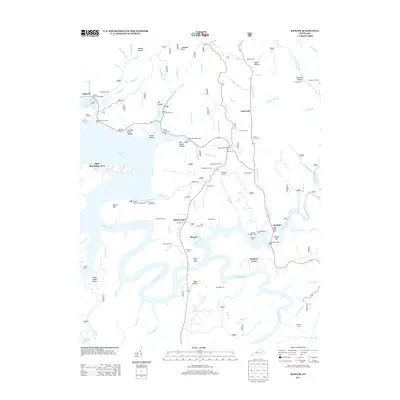 2013 Bangor2013 Print · USGSThe Licking River valley and the waters of Cave Run Lake define this region in the early twenty-first century. Researchers can locate numerous family burial sites like Tackett Cem and Roll Alfrey Cem, or trace the Poppin Rock Tunnel near Paragon.
 - 2016 Map of Bangor, 2016 Print
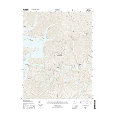 2016 Bangor2016 Print · USGSThe Licking River valley and the Daniel Boone National Forest are captured here in the mid-2010s, showing a landscape shaped by water and timber. Local historians can trace dozens of family burial sites like Utterback Cem and Harlan Ellington Cem near the Poppin Rock Tunnel.
 - 2019 Map of Bangor, 2019 Print
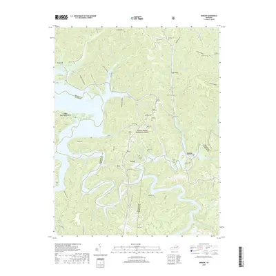 2019 Bangor2019 Print · USGSRowan and Menifee counties are shown here as the twenty-first century began, centered on the waters of Cave Run Lake. Genealogists can trace family heritage through dozens of upland burial sites including Roll Alfrey Cem, Abbott Cem, and the Peyton-Igo Cem.
 - 2022 Map of Bangor, 2022 Print
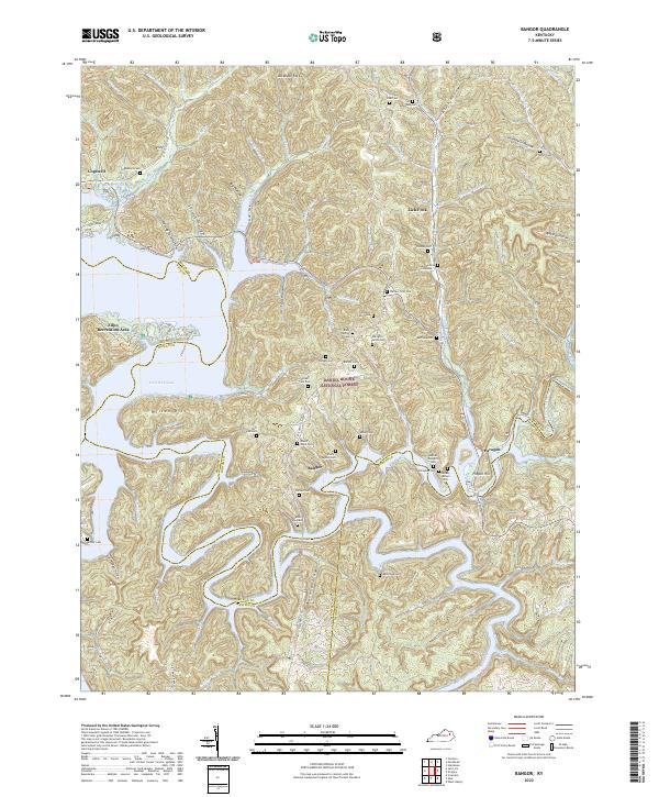 2022 Bangor2022 Print · USGSThe ridges of eastern Kentucky are captured here in the twenty-first century, showing the intersection of the Daniel Boone National Forest and local hamlets. Trace family roots at Mount Hope Cem or Roll-Alfrey Cem while exploring the hollows around Bangor.
End of results
Showing maps 1-12 of 12
Top cities near Lick Fork
- Morehead historical maps
- West Liberty historical maps
- Olive Hill historical maps
- Frenchburg historical maps
- Salt Lick historical maps
- Lakeview Heights historical maps
Frequently asked questions
- What are the different types of historical maps available for Lick Fork?
- What is the oldest map of Lick Fork?
- Where can I purchase historical maps of Lick Fork for my home or office?
- Where can I download high-res historical maps of Lick Fork?
- Are there historical topographic maps available for Lick Fork?
- Is there historical aerial imagery available for Lick Fork?
- Where are historical maps of Lick Fork sourced from?