Old Maps of Sutton Place, Georgetown for Genealogy
Trace your family roots with 12 historic maps of Sutton Place. These high-res maps reveal old neighborhoods, homesites, landmarks, and streets — helping you uncover where your ancestors lived and how the area evolved over time.
- Explore historic neighborhoods: Identify where your relatives may have lived in the 1800s or 1900s.
- Compare maps over time: Trace the changes in streets, buildings, and landmarks for multi-generational research.
- Perfect for genealogy & ancestry research: Used by family historians and researchers to map out lineage and migration.
These maps are an incredible resource for exploring your personal connection to Sutton Place's past.
Sutton Place, Georgetown maps
(12)- 1906 Map of Georgetown, 1954 Print
 1906 Georgetown1954 Print · USGSCentral Kentucky at the opening of the twentieth century was a landscape shaped by winding creeks and a dense web of steam rail lines. Local researchers can trace the historic rail corridors of the Southern R R and find early settlements like Paynes Depot and Great Crossing.
 - 1908 Map of Georgetown
 1908 Georgetown1908 Print · USGSCentral Kentucky at the turn of the century reveals a landscape of thriving rail depots and historic turnpikes connecting major county seats. Genealogists and historians can trace the early footprints of Midway, Donerail, and Great Crossing along the winding North Elkhorn Creek.2 unique versions available
 - 1954 Map of Georgetown, 1955 Print
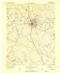 1954 Georgetown1955 Print · USGSScott County enters the mid-fifties as a hub of education and transport centered on the crossing of major rail lines and the winding Elkhorn Creek. Researchers can trace the grounds of Georgetown College, locate Paynes Depot, or find rural landmarks like Bethel Ch and Cardome Academy.
 - 1956 Map of Louisville, 1971 Print
 1956 Louisville1971 Print · USGSThe Ohio River valley and the Kentucky Bluegrass are captured here during a period of rapid mid-century growth and industrial activity. Genealogists and historians can trace rail-centered towns and military land use at Fort Knox and the Jefferson Proving Ground.2 unique versions available
 - 1964 Map of Louisville
 1964 Louisville1964 Print · USGSThe Ohio River valley and Kentucky Bluegrass are captured in the mid-1960s, showing a region balanced between industrial growth and its agrarian roots. Genealogists and historians can trace the development of county seats like Shelbyville and Paris, or locate established institutions such as Georgetown College and Bernheim Forest.
 - 1965 Map of Georgetown, 1966 Print
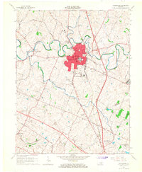 1965 Georgetown1966 Print · USGSGeorgetown and northern Fayette County appear here in the mid-sixties, a landscape of rolling hills and historic crossroads before the interstate era took full hold. Researchers can trace local roots through Georgetown College, the Maple Grove Cem, and old stops like Paynes Depot.4 unique versions available
 - 1986 Map of Lexington
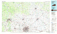 1986 Lexington1986 Print · USGSCentral Kentucky’s Bluegrass region is captured in the mid-eighties as urban centers like Lexington and Frankfort expand alongside deep-rooted rural hubs. Researchers can trace historic rail lines like the Southern Railway and find landmarks such as the Lexington Blue Grass Army Depot and Tacketts Mill.
 - 2010 Map of Georgetown, 2010 Print
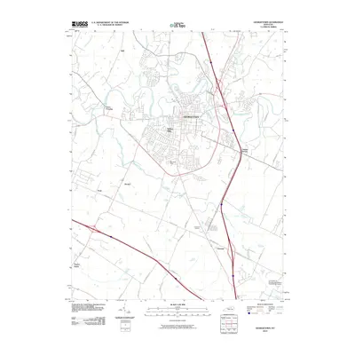 2010 Georgetown2010 Print · USGSGeorgetown and the surrounding horse country are captured here in the early twenty-first century as suburban growth meets traditional agriculture. Genealogists can locate family landmarks in Paynes Depot and Donerail or trace early roads like Ironworks Pike.
 - 2013 Map of Georgetown, 2013 Print
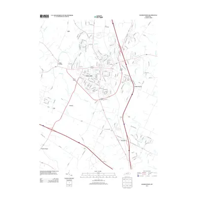 2013 Georgetown2013 Print · USGSThe Bluegrass region's transition from rural crossroads to suburban neighborhoods is captured here in the early twenty-first century. Researchers can trace historical sites like Royal Springs and Paynes Depot alongside newer developments such as Indian Hills.
 - 2016 Map of Georgetown, 2016 Print
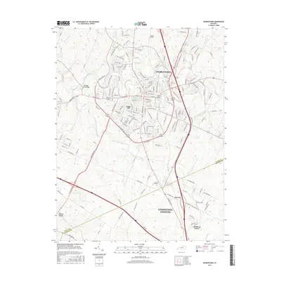 2016 Georgetown2016 Print · USGSGeorgetown and the northern reaches of the Bluegrass region are shown here as they appeared in 2016. Genealogists can trace local roots through Maple Grove Cemetery, the Georgetown College campus, and the historic crossroads at Paynes Depot.
 - 2019 Map of Georgetown, 2019 Print
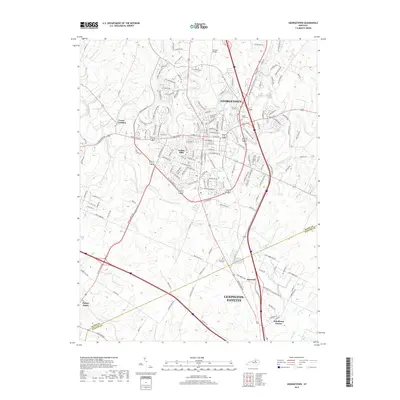 2019 Georgetown2019 Print · USGSGeorgetown and its Bluegrass surroundings are captured in this recent survey, showcasing the area's mix of academic tradition and expanding residential corridors. Genealogists and historians can trace the grounds of Georgetown College, the historic Great Crossing settlement, and the Maple Grove Cemetery.
 - 2022 Map of Georgetown, 2022 Print
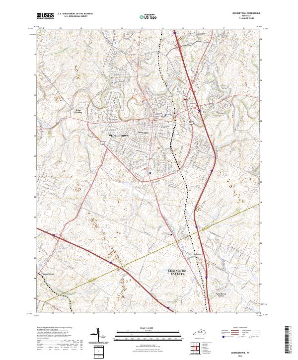 2022 Georgetown2022 Print · USGSGeorgetown and the rolling Scott County countryside appear in the early 2020s, showing a blend of academic tradition and modern growth. Trace local heritage at Georgetown College, the historic Great Crossing settlement, and cemeteries like Maple Grove Cem.
End of results
Showing maps 1-12 of 12
Frequently asked questions
- What are the different types of historical maps available for Sutton Place?
- What is the oldest map of Sutton Place?
- Where can I purchase historical maps of Sutton Place for my home or office?
- Where can I download high-res historical maps of Sutton Place?
- Are there historical topographic maps available for Sutton Place?
- Is there historical aerial imagery available for Sutton Place?
- Where are historical maps of Sutton Place sourced from?