Old Maps of Taylor County, Kentucky for Metal Detecting
Plan your next treasure hunt with 70 historic maps of Taylor County. Find old homesites, ghost towns, trails, and gathering spots that may be lost to time — perfect for identifying promising metal detecting locations.
- Locate forgotten sites: Uncover places like long-lost settlements, abandoned rail lines, or gathering spots.
- Plan better hunts: Use map overlays combined with LiDAR or satellite views to narrow in on historically rich areas.
- Made for detectorists: Thousands of hobbyists use these maps to discover relics, coins, and hidden history.
Use these historic maps to boost your research and find new opportunities beneath the surface of Taylor County.
Taylor County, KY maps
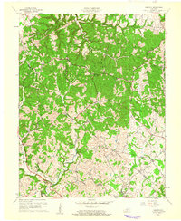
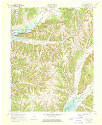
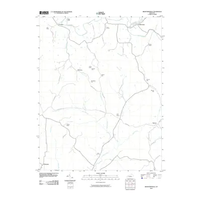
(70)- 1952 Map of Mannsville, 1954 Print
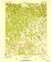
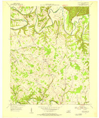
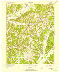 1952 Mannsville1954 Print · USGSThe Taylor and Casey County borderlands are documented here at mid-century, showing a landscape of high ridges and rural settlements. Genealogists can locate family-named landmarks and institutions like Gaddis Ridge Cem, Farmers Sch, and Mt Zion Ch.2 unique versions available
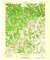
 - 1952 Map of Bradfordsville, 1954 Print
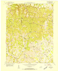
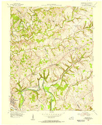
 1952 Bradfordsville1954 Print · USGSThe forks of the Rolling Fork river in the early fifties define this central Kentucky landscape. Genealogists and local historians can trace rural school districts and family cemeteries near Bradfordsville, Merrimac, and the ridges of Muldraugh Hill.2 unique versions available
 - 1953 Map of Campbellsville, 1954 Print
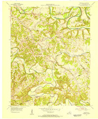
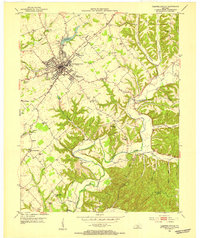 1953 Campbellsville1954 Print · USGSTaylor County at the dawn of the 1950s shows the growth of Campbellsville alongside its deep rural roots. Researchers can trace numerous local landmarks including the Wee Yan Sch, Old Pitman Ch, and the winding Robinson Creek.2 unique versions available
 - 1953 Map of Bradfordsville NE, 1954 Print
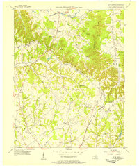
 1953 Bradfordsville NE1954 Print · USGSMarion and Casey counties in the early fifties are shown here as a landscape of ridge-top boundaries and valley settlements. Genealogists can trace family roots through landmarks like Weatherford Cem, McFarland Sch, and the community at Jacktown.2 unique versions available
 - 1953 Map of Saloma, 1954 Print
 1953 Saloma1954 Print · USGSTaylor and Marion counties are shown in the early fifties during a peak era for rural Kentucky schoolhouses and country churches. Genealogists can trace family footprints near Saloma, White Rose, and landmarks like Arvins Grove Sch or St Matthews Cem.
 - 1953 Map of Hibernia, 1954 Print
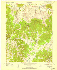
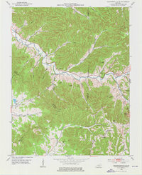
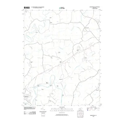
 1953 Hibernia1954 Print · USGSThe rural uplands of Taylor and Green Counties are documented here in the early fifties, centering on the community of Hibernia. Family researchers can locate numerous local landmarks including Morning Star Sch, Liberty Ch, and the Webster Cem.
 - 1953 Map of Gresham, 1955 Print
 1953 Gresham1955 Print · USGSGreen County in the early fifties is mapped here as a landscape of winding river bends and tight-knit rural communities. Researchers can trace family sites and local history at Gresham, Miller Chapel, and the Summershade Sch along the banks of Russell Creek.4 unique versions available
 - 1953 Map of Spurlington, 1955 Print
 1953 Spurlington1955 Print · USGSThe Muldraugh Hill country of Taylor and Marion counties is captured in the early fifties, showing a landscape defined by the Louisville and Nashville rail line. Trace family roots at Spurlington or explore old school sites like Palestine Sch and Union Ridge Sch.3 unique versions available
 - 1953 Map of Cane Valley, 1955 Print
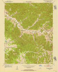
 1953 Cane Valley1955 Print · USGSAdair and Taylor Counties are seen here in the early fifties, characterized by traditional river-bend farming and a high density of rural schoolhouses. Genealogists can trace family names at the Confederate Cem, Tampico Sch, or Faulkner Sulphur Spring.2 unique versions available
 - 1953 Map of Bradfordsville, 1976 Print
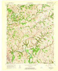
 1953 Bradfordsville1976 Print · USGSThe rural borders of Marion, Casey, and Taylor counties are captured here in the early fifties during a time of small-town schoolhouses and country churches. Researchers can trace family roots at Pine Grove Sch, Shreve Cem, and the settlement of Jacktown.
 - 1954 Map of Greensburg, 1955 Print
 1954 Greensburg1955 Print · USGSMid-century Green County and Taylor County are captured here as the Green River winds past Greensburg. Genealogists can trace family roots through numerous local landmarks like Black Gnat, Hogards Chapel, and rural schoolhouses including Fairview Sch.
 - 1957 Map of Winchester, 1968 Print
 1957 Winchester1968 Print · USGSCentral Kentucky's landscape in the mid-twentieth century features the sprawling Fort Knox and the early parkway system. Genealogists and historians can trace rail lines like the Southern Railway and find landmarks from Bernheim Forest to Pilot Knob.3 unique versions available
 - 1960 Map of Winchester
 1960 Winchester1960 Print · USGSCentral Kentucky's diverse landscape is shown here at mid-century, from the bluegrass plains to the rugged Pottsville Escarpment. Genealogists and historians can trace the rail-and-river network connecting towns like Bardstown and Stanford alongside landmarks like Lake Cumberland.
 - 1961 Map of Greensburg, 1962 Print
 1961 Greensburg1962 Print · USGSCentral Kentucky's river valleys and oil fields come into focus in the early sixties, centered on the historic seat of Greensburg. Genealogists and historians can trace deep family roots through many rural landmarks, including Earlys Chapel, Beech Grove Ch, and the curiously named Black Gnat.2 unique versions available
 - 1961 Map of Hibernia, 1962 Print
 1961 Hibernia1962 Print · USGSTaylor and Green Counties show a landscape of winding creek valleys and hilltop settlements during the early sixties. Genealogists can trace family landmarks like Taylor Chapel, Beams Cem, and the cluster of Oil Wells near the village of Mac.2 unique versions available
 - 1961 Map of Saloma, 1963 Print
 1961 Saloma1963 Print · USGSThe Taylor County countryside is captured here in the early sixties, showing a landscape defined by the ridgelines of Muldraugh Hill. Researchers can trace old family roots at St Matthews Cem or locate industrial sites like the White Rose Oil Field.2 unique versions available
 - 1970 Map of Campbellsville, 1972 Print
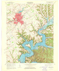 1970 Campbellsville1972 Print · USGSCampbellsville and the newly formed Green River Lake are captured in the early seventies during a period of significant regional growth. Local researchers can trace the development of Campbellsville College and locate rural landmarks like Shady Grove Ch and Durham Sch.3 unique versions available
 - 1970 Map of Cane Valley, 1972 Print
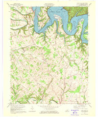 1970 Cane Valley1972 Print · USGSAdair and Green counties are captured here in the early seventies, a period defined by the sprawling waters of Green River Lake. Researchers can locate historic family burial sites like Green River Hill Confederate Cem and rural crossroads like Cane Valley and Coburg.4 unique versions available
 - 1970 Map of Mannsville, 1972 Print
 1970 Mannsville1972 Print · USGSTaylor County settlement meets the rising waters of the Green River reservoir in the 1970s. Genealogists can trace family connections at Christie Chapel, Eastridge Cem, and the small community of Feathersburg tucked between the ridges.
 - 1986 Map of Campbellsville
 1986 Campbellsville1986 Print · USGSCentral Kentucky in the mid-eighties was a landscape of deep river valleys and high ridges. Genealogists can trace family holdings near rural settlements like Phillipsburg or locate landmarks such as Mt Gilead Ch and the Magnolia Gas Storage Field.2 unique versions available
 - 2010 Map of Mannsville, 2010 Print
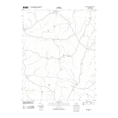 2010 Mannsville2010 Print · USGSCovers Taylor County, including Casey Creek, Feathersburg, and other nearby areas
 - 2010 Map of Campbellsville, 2010 Print
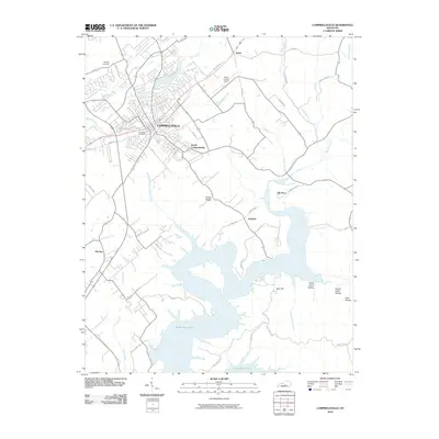 2010 Campbellsville2010 Print · USGSCovers Taylor County, including Campbellsville, Hatcher, and other nearby areas
 - 2010 Map of Spurlington, 2010 Print
 2010 Spurlington2010 Print · USGSCovers Taylor County, including Campbellsville, Finley, and other nearby areas
 - 2010 Map of Bradfordsville, 2010 Print
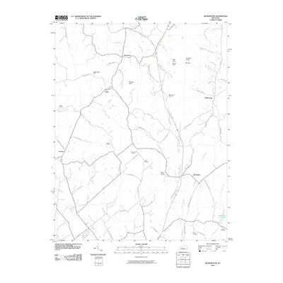
 2010 Bradfordsville2010 Print · USGSCovers Taylor County, including Bradfordsville, Merrimac, and other nearby areas
 - 2010 Map of Greensburg, 2010 Print
 2010 Greensburg2010 Print · USGSCovers Taylor County, including Campbellsville, Greensburg, and other nearby areas
Showing maps 1-25 of 70
Top cities of Taylor County
Frequently asked questions
- What are the different types of historical maps available for Taylor County?
- What is the oldest map of Taylor County?
- Where can I purchase historical maps of Taylor County for my home or office?
- Where can I download high-res historical maps of Taylor County?
- Are there historical topographic maps available for Taylor County?
- Is there historical aerial imagery available for Taylor County?
- Where are historical maps of Taylor County sourced from?