Old Maps of Roaring Spring, Kentucky for Genealogy
Trace your family roots with 11 historic maps of Roaring Spring. These high-res maps reveal old neighborhoods, homesites, landmarks, and streets — helping you uncover where your ancestors lived and how the area evolved over time.
- Explore historic neighborhoods: Identify where your relatives may have lived in the 1800s or 1900s.
- Compare maps over time: Trace the changes in streets, buildings, and landmarks for multi-generational research.
- Perfect for genealogy & ancestry research: Used by family historians and researchers to map out lineage and migration.
These maps are an incredible resource for exploring your personal connection to Roaring Spring's past.
Roaring Spring, KY maps
(11)- 1951 Map of Roaring Spring, 1953 Print
 1951 Roaring Spring1953 Print · USGSThe Kentucky and Tennessee borderlands appear in the early fifties as the military presence transformed the landscape. Trace rural roots at Corinth Ch or find former homesites now marked as ruins inside the Fort Campbell Military Reservation.
 - 1956 Map of Nashville, 1971 Print
 1956 Nashville1971 Print · USGSThe Tennessee-Kentucky borderlands come into focus in the mid-1960s as major reservoir projects transformed the Cumberland and Tennessee river valleys. Researchers can trace the rail networks of the Louisville and Nashville and visit sites like Fort Campbell and Fort Donelson National Military Park.2 unique versions available
 - 1957 Map of Roaring Spring, 1960 Print
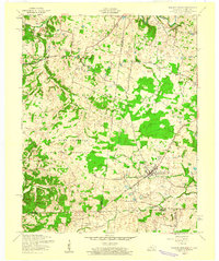 1957 Roaring Spring1960 Print · USGSThe Kentucky-Tennessee borderlands appear here in the mid-fifties as the military footprint expands. Trace family roots at Gary Cem or explore the settlement patterns around Roaring Spring and the Lafayette post office.3 unique versions available
 - 1957 Map of Herndon, 1964 Print
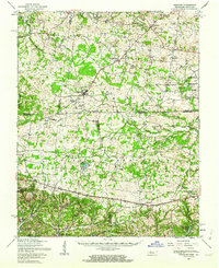 1957 Herndon1964 Print · USGSSpanning the Kentucky and Tennessee line in the late fifties, this area shows the massive Fort Campbell Military Reservation during its Cold War peak. Genealogists can trace family landmarks like Double Barn Cem and the rural crossroads at Roaring Spring.
 - 1959 Map of Nashville
 1959 Nashville1959 Print · USGSMiddle Tennessee and Southern Kentucky come into focus during the late fifties, showing the region's transition into a modern transportation and military hub. Researchers can trace the sprawling Fort Campbell Military Reservation or locate historic rail stops along the Tennessee Central Ry and Illinois Central RR.
 - 1980 Map of Hopkinsville, 1983 Print
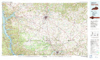 1980 Hopkinsville1983 Print · USGSThe Kentucky and Tennessee borderlands appear here at the start of the 1980s, centered on the massive Fort Campbell Military Reservation. Trace the impact of the Cumberland River impoundment at Lake Barkley or locate rail hubs like Guthrie and Elkton.
 - 2010 Map of Roaring Spring, 2010 Print
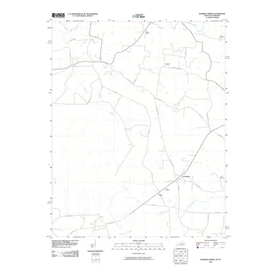 2010 Roaring Spring2010 Print · USGSLa Fayette and its rural surroundings are captured here in the early twenty-first century, showing a landscape defined by historic family burial grounds and winding creeks. Genealogists can locate sites like Elliott Cemetery or Powell Cemetery along roads like Dyers Chapel Rd.
 - 2013 Map of Roaring Spring, 2013 Print
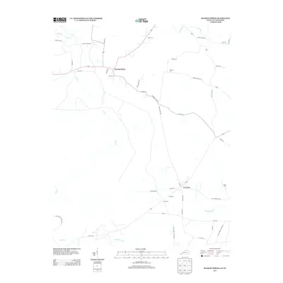 2013 Roaring Spring2013 Print · USGSTracing the Kentucky-Tennessee borderlands in the early 2010s, this map captures the rural character of Christian County before recent development. Genealogists can locate family landmarks like Dawson Cem and Simmons Cem near La Fayette.
 - 2016 Map of Roaring Spring, 2016 Print
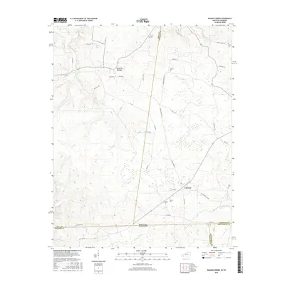 2016 Roaring Spring2016 Print · USGSThe Kentucky-Tennessee state line divides this quiet rural landscape south of Cadiz during the mid-2010s. Genealogists can trace family names at Dawson Cem and Hester Cem, or follow old travel routes like Old Clarksville Pike through LaFayette.
 - 2019 Map of Roaring Spring, 2019 Print
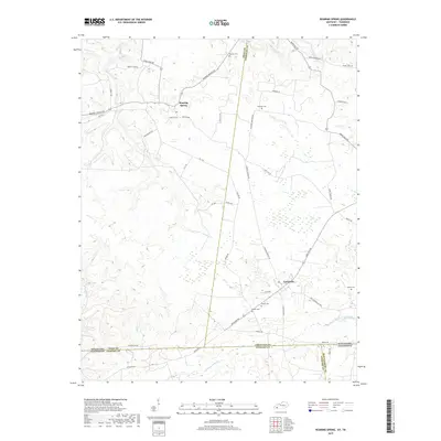 2019 Roaring Spring2019 Print · USGSThe Kentucky and Tennessee borderlands come into focus in this late 2010s survey of the areas surrounding Roaring Spring and LaFayette. Researchers can trace family history through a high density of local burial sites, including Dawson Cem, Simmons Cem, and Hester Cem.
 - 2022 Map of Roaring Spring, 2022 Print
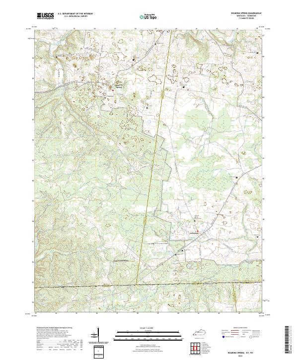 2022 Roaring Spring2022 Print · USGSNear the Kentucky-Tennessee border, this modern topographic survey captures the crossroads communities of Roaring Spring and LaFayette. Researchers can locate numerous family burial sites like John Roach Cem and Joiner Cem along the banks of Casey Cr.
End of results
Showing maps 1-11 of 11
Top cities near Roaring Spring
- Clarksville historical maps
- Hopkinsville historical maps
- Cadiz historical maps
- LaFayette historical maps
Frequently asked questions
- What are the different types of historical maps available for Roaring Spring?
- What is the oldest map of Roaring Spring?
- Where can I purchase historical maps of Roaring Spring for my home or office?
- Where can I download high-res historical maps of Roaring Spring?
- Are there historical topographic maps available for Roaring Spring?
- Is there historical aerial imagery available for Roaring Spring?
- Where are historical maps of Roaring Spring sourced from?