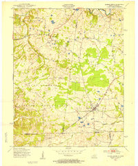
1951 Map of Roaring Spring
USGS Topo · Published 1953About this map
Roaring Spring and La Fayette anchor this 1951 survey of the borderlands between Kentucky and Tennessee. The landscape is defined by the significant expansion of the Fort Campbell Military Reservation, which occupies much of the southern and western portions of the quadrangle. Within the military boundaries, numerous structures are marked simply as ruins, indicating the displacement of earlier rural homesteads as the base expanded during the mid-20th century.
Find a feature on this map
36 named features on this map. Tap any name to fly to it.
Don’t see what you’re looking for? This feature index may not catch every label — zoom into the map to look around manually.
Map Details
Editions of this 1951 Roaring Spring Map
This is the sole edition of this map. No revisions or reprints were ever made.
Other maps of this area
1950 · Caledonia
USGS Topo · 1:24,000
1951 · Church Hill
USGS Topo · 1:24,000
1951 · Caledonia
USGS Topo · 1:24,000
1951 · Johnson Hollow
USGS Topo · 1:24,000
1951 · Indian Mound
USGS Topo · 1:24,000
1951 · Bumpus Mills
USGS Topo · 1:24,000
1951 · Herndon
USGS Topo · 1:24,000
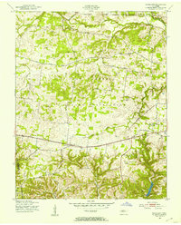
1951 · Woodlawn
USGS Topo · 1:24,000
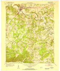
1953 · Cadiz
USGS Topo · 1:24,000
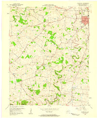
1956 · Church Hill
USGS Topo · 1:24,000