Old Maps of Milton, Kentucky for Academic Research
Study the evolution of Milton with 20 high-resolution historic maps. Whether you're teaching, researching, or modeling changes in land use, these maps provide essential visual documentation of urban, environmental, and geographic change.
- Analyze long-term change: Track patterns in development, transportation, and natural features.
- Ideal for environmental or urban studies: Support academic projects with primary historical map data.
- Use in the classroom or lab: Educators and researchers rely on these maps to bring historical context to life.
These maps are a powerful tool for teaching, research, and visualizing how Milton has changed over the decades.
Milton, KY maps
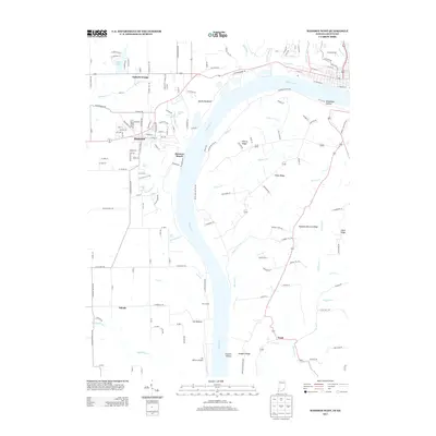
(20)- 1939 Map of Madison West
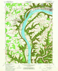
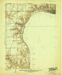 1939 Madison West1939 Print · USGSThe river bluffs of Jefferson County are captured here just before the Second World War, showing the steep topography of the Ohio River valley. Researchers can trace local landmarks like Hanover College, Clifty Falls State Park, and rural sites like Antioch Grange.3 unique versions available
 - 1948 Map of Madison West
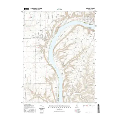
 1948 Madison West1948 Print · USGSThe river bluffs of Jefferson County are captured here in the late 1930s, showing the early development of Clifty Falls State Park and Hanover College. Researchers can trace the Pennsylvania railroad tracks or locate early landmarks like Antioch Grange and Springdale Cem.2 unique versions available
 - 1953 Map of Madison West, 1954 Print
 1953 Madison West1954 Print · USGSThe bluffs of the Ohio River define this mid-century portrait of the Indiana and Kentucky borderlands. Genealogists and local historians can trace the foundations of Hanover College, find rural landmarks like Old Bethel Cem, and locate the old path of the Pennsylvania RR.2 unique versions available
 - 1953 Map of Madison East, 1955 Print
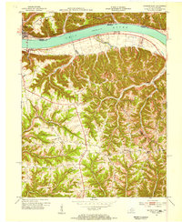 1953 Madison East1955 Print · USGSThe Ohio River valley and the Kentucky uplands are captured in the early fifties, documenting a landscape of ridge-top farms and river towns. Genealogists can trace family connections through numerous rural landmarks like Mt Carmel Ch, Hunters Bottom, and Locust Sch.2 unique versions available
 - 1956 Map of Louisville, 1971 Print
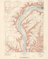
 1956 Louisville1971 Print · USGSThe Ohio River valley and the Kentucky Bluegrass are captured here during a period of rapid mid-century growth and industrial activity. Genealogists and historians can trace rail-centered towns and military land use at Fort Knox and the Jefferson Proving Ground.2 unique versions available
 - 1964 Map of Louisville
 1964 Louisville1964 Print · USGSThe Ohio River valley and Kentucky Bluegrass are captured in the mid-1960s, showing a region balanced between industrial growth and its agrarian roots. Genealogists and historians can trace the development of county seats like Shelbyville and Paris, or locate established institutions such as Georgetown College and Bernheim Forest.
 - 1964 Map of Madison West, 1966 Print
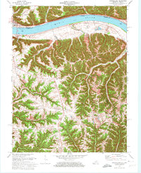
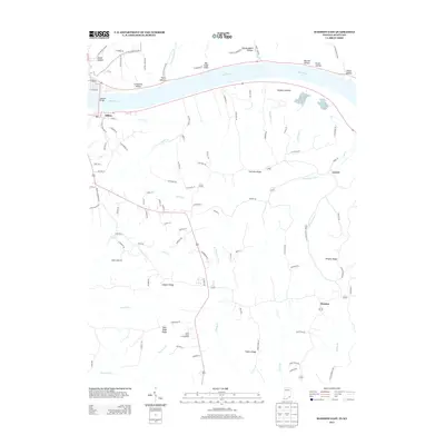
 1964 Madison West1966 Print · USGSThe Indiana-Kentucky borderlands come into focus during the mid-sixties, dominated by the winding river and the bluff-top campuses of the Madison area. Researchers can trace the grounds of Hanover College, the Madison State Hospital, and numerous family burial sites like Moffett Cem and Zion Cem.5 unique versions available
 - 1971 Map of Madison East, 1973 Print
 1971 Madison East1973 Print · USGSThe Ohio River corridor at the Indiana-Kentucky border is shown here in the early seventies, featuring the riverfront hub of Madison. Researchers can trace old ridge-top settlements and rural landmarks like St Peters Ch, Monitor, and Mt Carmel Ch.4 unique versions available
 - 1986 Map of Madison
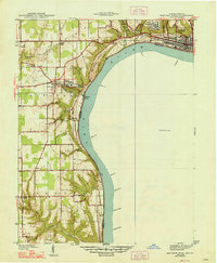
 1986 Madison1986 Print · USGSSouthern Indiana and Northern Kentucky are shown here in the mid-eighties, centered on the river corridor and the sprawling Jefferson Proving Ground. Genealogists and historians can trace rail lines like the Seaboard System and locate river towns from Madison to Bethlehem.
 - 1990 Map of Madison, 1991 Print
 1990 Madison1991 Print · USGSThe Ohio River valley and the southern Indiana plains are documented here in the final decade of the twentieth century. Genealogists and historians can trace family-named crossroads and established rail towns like Dudleytown, Austin, and Crothersville along the P C RR line.
 - 2010 Map of Madison East, 2010 Print
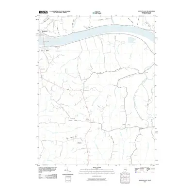 2010 Madison East2010 Print · USGSCovers Milton, including Madison, Monitor, and other nearby areas
 - 2010 Map of Madison West, 2010 Print
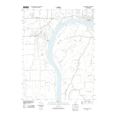 2010 Madison West2010 Print · USGSCovers Milton, including Madison, Hanover, and other nearby areas
 - 2013 Map of Madison West, 2013 Print
 2013 Madison West2013 Print · USGSCovers Milton, including Madison, Hanover, and other nearby areas
 - 2013 Map of Madison East, 2013 Print
 2013 Madison East2013 Print · USGSCovers Milton, including Madison, Monitor, and other nearby areas
 - 2016 Map of Madison East, 2016 Print
 2016 Madison East2016 Print · USGSCovers Milton, including Madison, Monitor, and other nearby areas
 - 2016 Map of Madison West, 2016 Print
 2016 Madison West2016 Print · USGSCovers Milton, including Madison, Hanover, and other nearby areas
 - 2019 Map of Madison West, 2019 Print
 2019 Madison West2019 Print · USGSCovers Milton, including Madison, Hanover, and other nearby areas
 - 2019 Map of Madison East, 2019 Print
 2019 Madison East2019 Print · USGSCovers Milton, including Madison, Monitor, and other nearby areas
 - 2022 Map of Madison West, 2022 Print
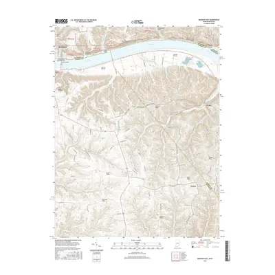
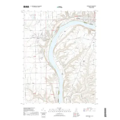
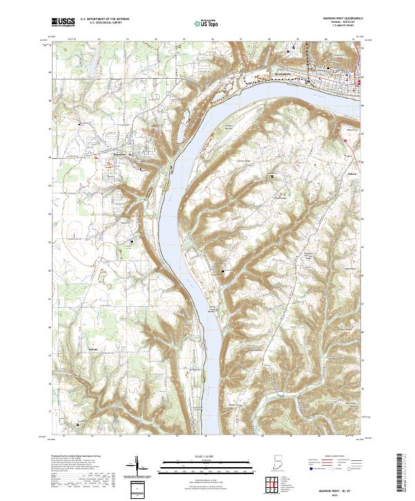 2022 Madison West2022 Print · USGSThe Indiana and Kentucky border along the Ohio River is captured here during a time of modern rural continuity. Genealogists and local historians can trace ancestral sites through Old Bethel Cemetery, Greenbriar Cemetery, and the historic streets of Hanover.
 - 2022 Map of Madison East, 2022 Print
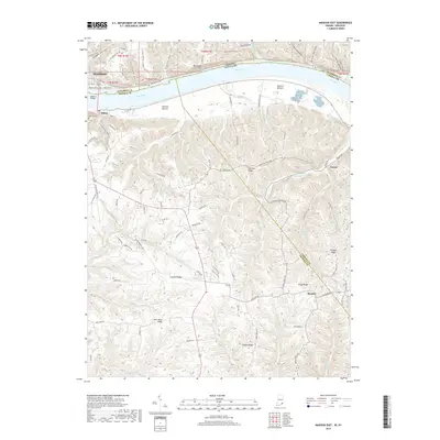
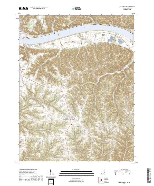 2022 Madison East2022 Print · USGSModern-day Indiana and Kentucky meet along the Ohio River in this detailed survey of the river valley. Researchers can trace land patterns around the historic river towns of Madison and Milton or locate rural landmarks like Moffett Cem.
End of results
Showing maps 1-20 of 20
Top cities near Milton
- Madison historical maps
- Carrollton historical maps
- Hanover historical maps
- Lancaster historical maps
- Pleasant historical maps
- Saluda historical maps
See more
Frequently asked questions
- What are the different types of historical maps available for Milton?
- What is the oldest map of Milton?
- Where can I purchase historical maps of Milton for my home or office?
- Where can I download high-res historical maps of Milton?
- Are there historical topographic maps available for Milton?
- Is there historical aerial imagery available for Milton?
- Where are historical maps of Milton sourced from?