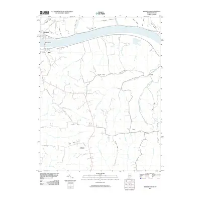
2010 Map of Madison East
USGS Topo · Published 2010About this map
The Ohio River serves as the focal point of this 2010 topographic record, separating the community of Madison, Indiana, from Milton in Kentucky. The Madison Bridge provides the primary crossing, linking these river towns where the landscape quickly transitions from the river valley into a series of distinctive ridges and hollows. Notable terrain features like Big Cedar Cliffs and Eagle Hollow dominate the northern bank, while the Kentucky side is defined by a network of drainage systems including Canip Creek and the various branches of Locust Creek. Small settlements and naming conventions such as Locust and Monitor illustrate the rural development of the area. Genealogists and local historians can trace family-named landmarks and routes, such as Moffett Cemetery, Fairview Ridge, and Wrights Ridge, which reflect the long-standing agricultural and settlement patterns established along the fertile banks of the Ohio.
Find a feature on this map
66 named features on this map. Tap any name to fly to it.
Don’t see what you’re looking for? This feature index may not catch every label — zoom into the map to look around manually.
Map Details
Editions of this 2010 Madison East Map
This is the sole edition of this map. No revisions or reprints were ever made.
Other maps of this area

1939 · Bethlehem
USGS Topo · 1:24,000

1939 · Madison West
USGS Topo · 1:24,000

1943 · Brooksburg
USGS Topo · 1:24,000

1948 · Bethlehem
USGS Topo · 1:24,000

1948 · Madison West
USGS Topo · 1:24,000

1952 · Campbellsburg
USGS Topo · 1:24,000

1953 · Madison West
USGS Topo · 1:24,000

1953 · Bedford
USGS Topo · 1:24,000

1953 · Carrollton
USGS Topo · 1:24,000

1953 · Madison East
USGS Topo · 1:24,000