
1953 Map of Bedford
USGS Topo · Published 1954About this map
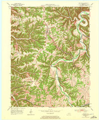
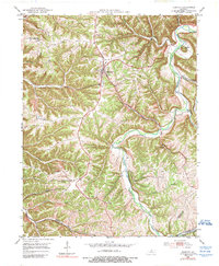
Bedford serves as the focal point of this mid-century survey of the north-central Kentucky landscape, where the town sits at a prominent road junction amidst a complex network of ridges and deep-cut drainage. The topography is dominated by the winding course of the Little Kentucky River and its numerous tributaries, including Barebone Creek and Daugherty Creek. Rural life in the early 1950s is evidenced by several scattered country churches such as Hickory Grove Ch and Antioch Ch, alongside numerous small family cemeteries tucked into the hillsides.
Find a feature on this map
29 named features on this map. Tap any name to fly to it.
Don’t see what you’re looking for? This feature index may not catch every label — zoom into the map to look around manually.
Map Details
Editions of this 1953 Bedford Map
3 editions found
Other maps of this area

1928 · New Castle
USGS Topo · 1:48,000

1932 · New Castle
USGS Topo · 1:62,500

1932 · La Grange
USGS Topo · 1:62,500

1939 · Bethlehem
USGS Topo · 1:24,000

1939 · Madison West
USGS Topo · 1:24,000

1943 · Brooksburg
USGS Topo · 1:24,000

1948 · Bethlehem
USGS Topo · 1:24,000

1948 · Madison West
USGS Topo · 1:24,000

1952 · Campbellsburg
USGS Topo · 1:24,000

1953 · Madison West
USGS Topo · 1:24,000